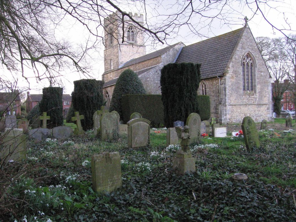
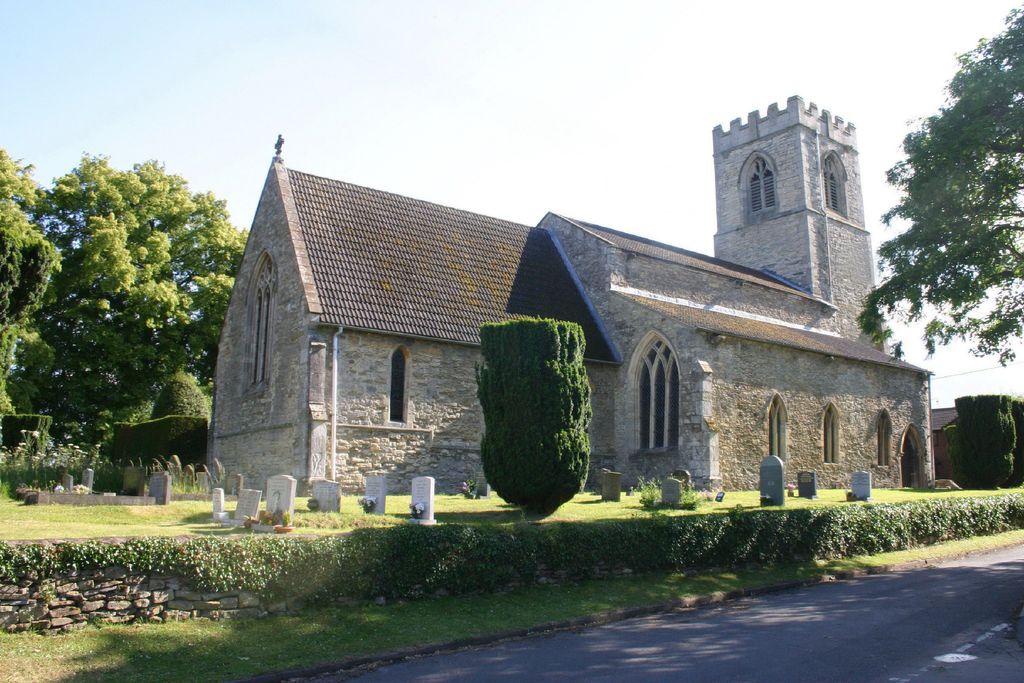
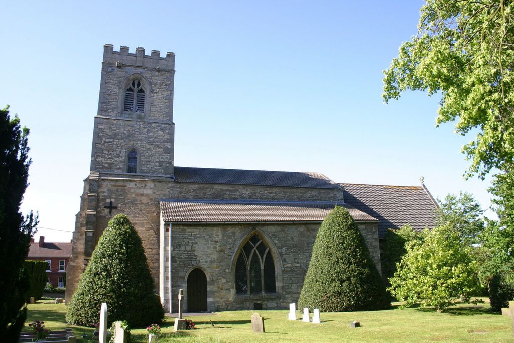
| Memorials | : | 36 |
| Location | : | Scotton, West Lindsey District, England |
| Coordinate | : | 53.4810900, -0.6597690 |
| Description | : | In the village on the corner of Eastgate and Northorpe Road. Parking is available next door at the Village Hall. |
frequently asked questions (FAQ):
-
Where is St Genewys Churchyard?
St Genewys Churchyard is located at Scotton, West Lindsey District ,Lincolnshire ,England.
-
St Genewys Churchyard cemetery's updated grave count on graveviews.com?
0 memorials
-
Where are the coordinates of the St Genewys Churchyard?
Latitude: 53.4810900
Longitude: -0.6597690
Nearby Cemetories:
1. Scotter Cemetery
Scotter, West Lindsey District, England
Coordinate: 53.4942000, -0.6665520
2. St Peter Churchyard
Scotter, West Lindsey District, England
Coordinate: 53.4966600, -0.6636500
3. St. John's Churchyard
Gainsborough, West Lindsey District, England
Coordinate: 53.4635280, -0.6538310
4. Kirton-in-Lindsey Cemetery
Kirton in Lindsey, North Lincolnshire Unitary Authority, England
Coordinate: 53.4765050, -0.5963870
5. St Andrews Church
Kirton in Lindsey, North Lincolnshire Unitary Authority, England
Coordinate: 53.4755000, -0.5940000
6. Laughton Cemetery
Laughton, West Lindsey District, England
Coordinate: 53.4681287, -0.7228939
7. All Saints Churchyard
Laughton, West Lindsey District, England
Coordinate: 53.4656600, -0.7224400
8. Saint Radegund Churchyard
Grayingham, West Lindsey District, England
Coordinate: 53.4538900, -0.5924900
9. Saint Hybald Churchyard
Manton, North Lincolnshire Unitary Authority, England
Coordinate: 53.5125000, -0.5931000
10. St. Martin de Tours Churchyard
Blyton, West Lindsey District, England
Coordinate: 53.4430280, -0.7169130
11. Holy Trinity Churchyard
Messingham, North Lincolnshire Unitary Authority, England
Coordinate: 53.5323250, -0.6583030
12. All Saints Churchyard
Pilham, West Lindsey District, England
Coordinate: 53.4339200, -0.7034700
13. St. Alkmund Churchyard
Blyborough, West Lindsey District, England
Coordinate: 53.4394960, -0.5954560
14. St Peter Ad Vincula Church
Bottesford, North Lincolnshire Unitary Authority, England
Coordinate: 53.5533120, -0.6448410
15. Owston Ferry Cemetery
Owston Ferry, North Lincolnshire Unitary Authority, England
Coordinate: 53.4966300, -0.7827500
16. St. Andrews Church Burial Ground
Redbourne, North Lincolnshire Unitary Authority, England
Coordinate: 53.4872680, -0.5342990
17. St Martin's Churchyard
Owston Ferry, North Lincolnshire Unitary Authority, England
Coordinate: 53.4933920, -0.7886380
18. St Mary the Virgin Churchyard
West Butterwick, North Lincolnshire Unitary Authority, England
Coordinate: 53.5426407, -0.7412120
19. Baptist Burial Ground
West Butterwick, North Lincolnshire Unitary Authority, England
Coordinate: 53.5432720, -0.7423210
20. All Saints Churchyard
Hemswell, West Lindsey District, England
Coordinate: 53.4069400, -0.6016800
21. St Hybald Churchyard
Hibaldstow, North Lincolnshire Unitary Authority, England
Coordinate: 53.5111060, -0.5244550
22. Hibaldstow Cemetery
Hibaldstow, North Lincolnshire Unitary Authority, England
Coordinate: 53.5115220, -0.5244530
23. Saint Hybald's Churchyard
Scawby, North Lincolnshire Unitary Authority, England
Coordinate: 53.5384500, -0.5395500
24. St. Chad's Churchyard
Harpswell, West Lindsey District, England
Coordinate: 53.3981300, -0.5943000


