
| Memorials | : | 516 |
| Location | : | Kirkdale, Metropolitan Borough of Liverpool, England |
| Coordinate | : | 53.4323690, -2.9752500 |
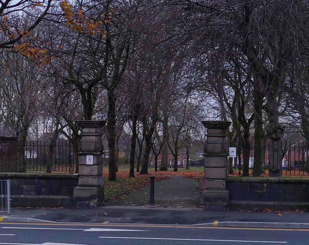
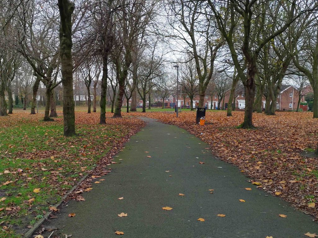
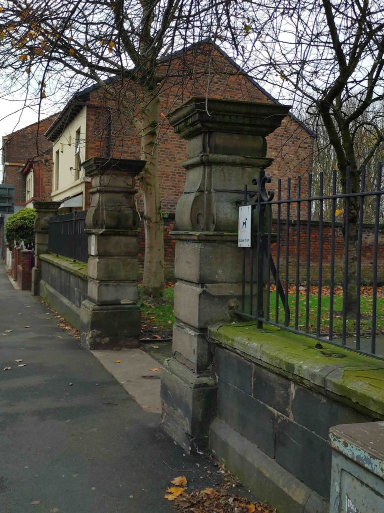
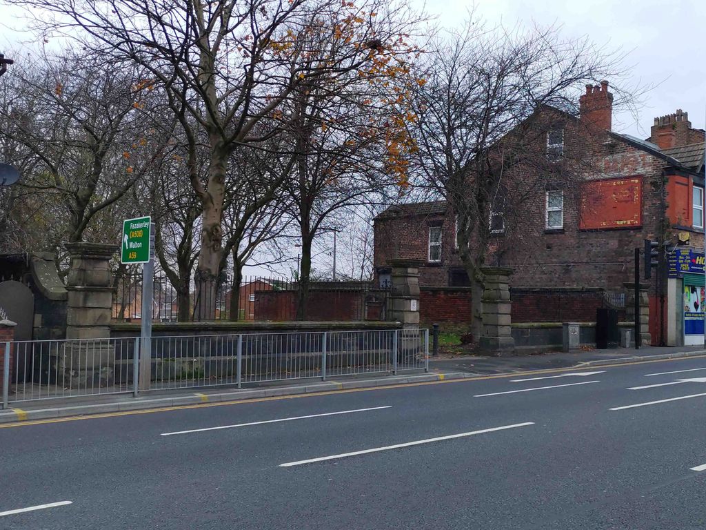
| Description | : | St. Mary’s Cemetery, named for the nearby St. Mary’s Church, was opened as a public cemetery in 1836. Upwards of 47,500 internments spanned sixty one years from 3 August 1837 to 5 November 1898. The church endured longer closing in 1973. It was demolished in 1979. The cemetery had no association with the church. In 1897, the City of Liverpool petitioned Parliament to close several burial grounds, including St. Mary’s Cemetery, Walton Road, Kirkdale, with the intent of converting them into ornamental open spaces. In 1898, the cemetery was acquired by Liverpool Corporation and officially closed on 28 Dec 1898.... Read More |
frequently asked questions (FAQ):
-
Where is St. Mary's Cemetery?
St. Mary's Cemetery is located at Walton Road Kirkdale, Metropolitan Borough of Liverpool ,Merseyside , L4 4AFEngland.
-
St. Mary's Cemetery cemetery's updated grave count on graveviews.com?
512 memorials
-
Where are the coordinates of the St. Mary's Cemetery?
Latitude: 53.4323690
Longitude: -2.9752500
Nearby Cemetories:
1. Kirkdale Goal Cemetery
Kirkdale, Metropolitan Borough of Liverpool, England
Coordinate: 53.4361110, -2.9802780
2. St. George Churchyard
Everton, Metropolitan Borough of Liverpool, England
Coordinate: 53.4252810, -2.9713940
3. St Luke Churchyard
Walton, Metropolitan Borough of Liverpool, England
Coordinate: 53.4396910, -2.9671400
4. St. Anthony's Churchyard
Liverpool, Metropolitan Borough of Liverpool, England
Coordinate: 53.4223190, -2.9815350
5. Anfield Cemetery and Crematorium
Anfield, Metropolitan Borough of Liverpool, England
Coordinate: 53.4354680, -2.9578100
6. St. Alexander Church
Bootle, Metropolitan Borough of Sefton, England
Coordinate: 53.4401090, -2.9922250
7. St Martin-in-the-Fields Churchyard
Liverpool, Metropolitan Borough of Liverpool, England
Coordinate: 53.4210110, -2.9877860
8. St Mary the Virgin Churchyard
Walton, Metropolitan Borough of Liverpool, England
Coordinate: 53.4464930, -2.9673330
9. St. Anne's Churchyard
Liverpool, Metropolitan Borough of Liverpool, England
Coordinate: 53.4149050, -2.9782840
10. Liverpool Necropolis
Everton, Metropolitan Borough of Liverpool, England
Coordinate: 53.4146670, -2.9621830
11. Holy Trinity Churchyard
Liverpool, Metropolitan Borough of Liverpool, England
Coordinate: 53.4117490, -2.9759560
12. Friends Burial Ground (Defunct)
Liverpool, Metropolitan Borough of Liverpool, England
Coordinate: 53.4111670, -2.9795830
13. Brunswick Chapel
Liverpool, Metropolitan Borough of Liverpool, England
Coordinate: 53.4111280, -2.9675500
14. Rice Lane Jewish Cemetery
Walton, Metropolitan Borough of Liverpool, England
Coordinate: 53.4521700, -2.9590600
15. St. Mary's Churchyard
Bootle, Metropolitan Borough of Sefton, England
Coordinate: 53.4492620, -3.0006520
16. St. John's Garden
Liverpool, Metropolitan Borough of Liverpool, England
Coordinate: 53.4087890, -2.9810070
17. Walton Park Cemetery
Walton, Metropolitan Borough of Liverpool, England
Coordinate: 53.4564370, -2.9695960
18. St. Paul's Churchyard
Liverpool, Metropolitan Borough of Liverpool, England
Coordinate: 53.4099460, -2.9919370
19. Deane Road Cemetery
Liverpool, Metropolitan Borough of Liverpool, England
Coordinate: 53.4114570, -2.9460500
20. Metropolitan Cathedral of Christ the King
Liverpool, Metropolitan Borough of Liverpool, England
Coordinate: 53.4052820, -2.9685940
21. St. Peter's Churchyard
Liverpool, Metropolitan Borough of Liverpool, England
Coordinate: 53.4051290, -2.9844200
22. Roscoe Memorial Gardens
Liverpool, Metropolitan Borough of Liverpool, England
Coordinate: 53.4044040, -2.9762180
23. St. Nicholas' Churchyard
Liverpool, Metropolitan Borough of Liverpool, England
Coordinate: 53.4069350, -2.9951480
24. St. Mary's Churchyard
Edge Hill, Metropolitan Borough of Liverpool, England
Coordinate: 53.4065000, -2.9561600