
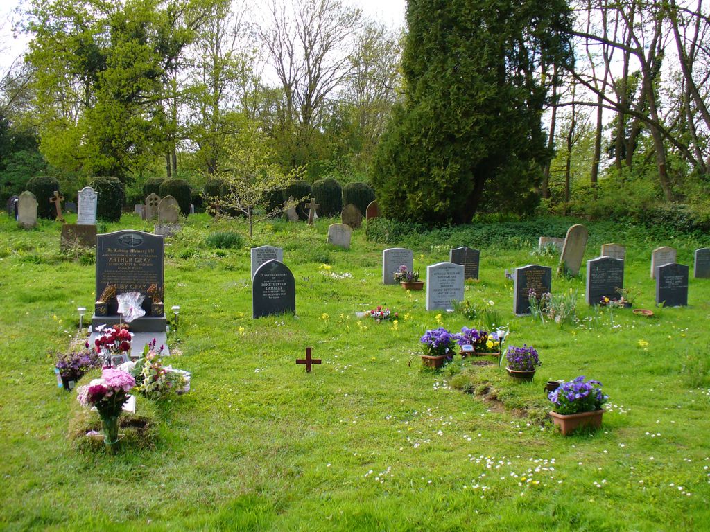
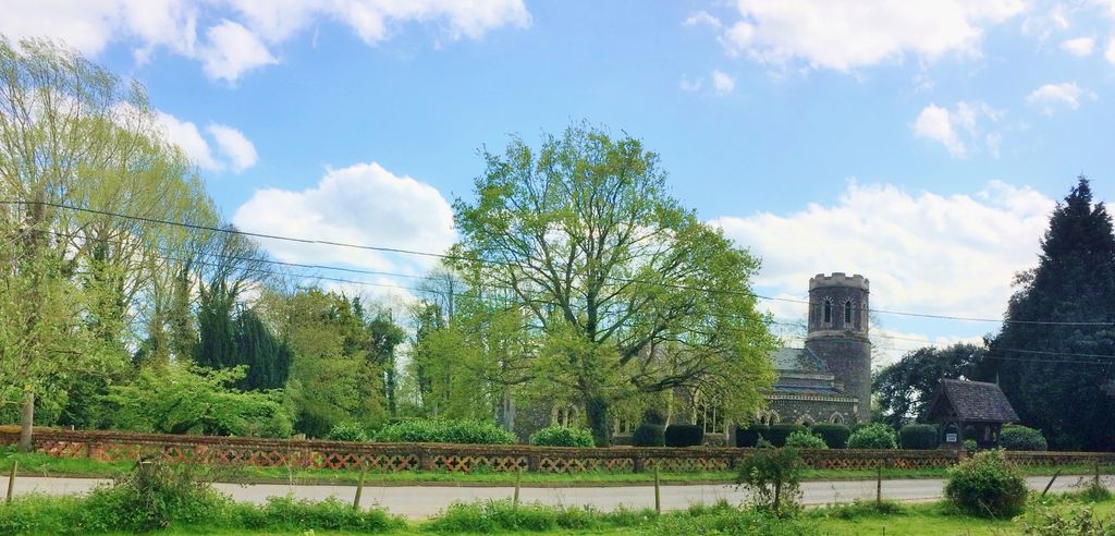
| Memorials | : | 11 |
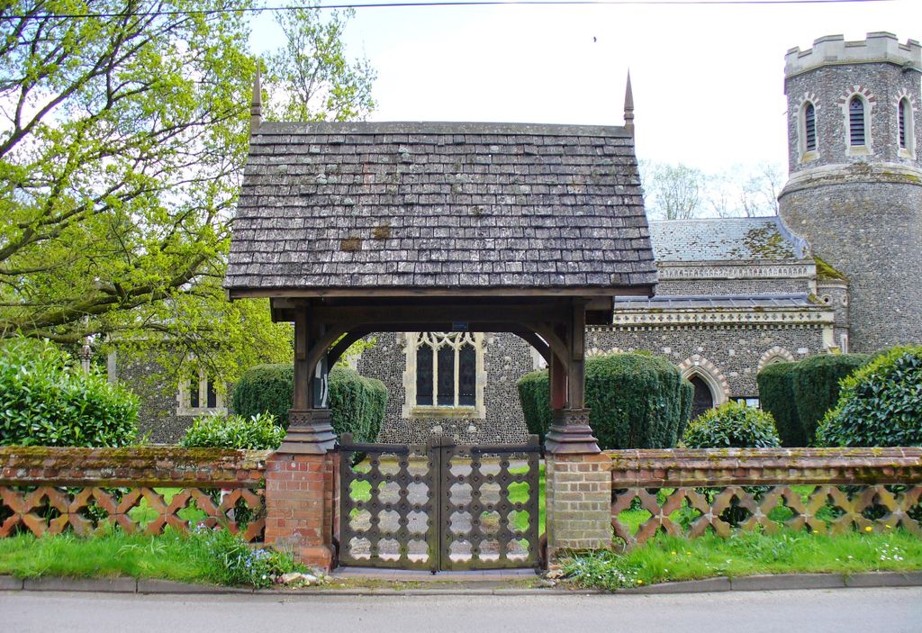
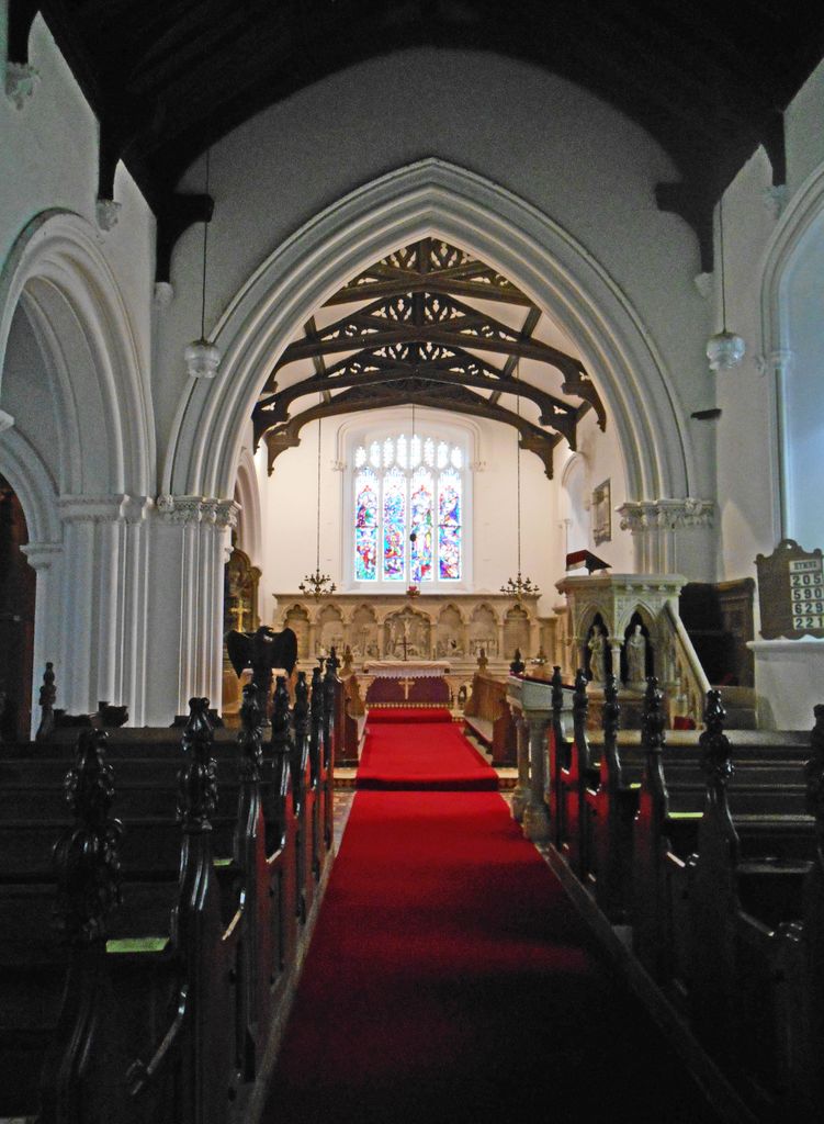
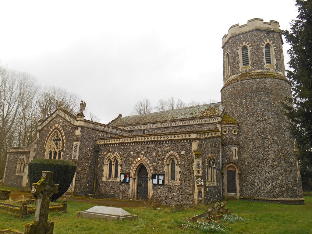
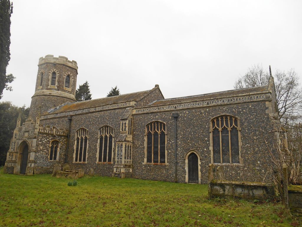
| Location | : | Brome, Mid Suffolk District, England |
| Coordinate | : | 52.3443800, 1.1475990 |
frequently asked questions (FAQ):
-
Where is St. Mary's Churchyard?
St. Mary's Churchyard is located at Brome, Mid Suffolk District ,Suffolk ,England.
-
St. Mary's Churchyard cemetery's updated grave count on graveviews.com?
11 memorials
-
Where are the coordinates of the St. Mary's Churchyard?
Latitude: 52.3443800
Longitude: 1.1475990
Nearby Cemetories:
1. St. Nicholas Churchyard
Oakley, Mid Suffolk District, England
Coordinate: 52.3518380, 1.1662190
2. All Saints Churchyard
Stuston, Mid Suffolk District, England
Coordinate: 52.3571980, 1.1332590
3. Eye War Memorial
Eye, Mid Suffolk District, England
Coordinate: 52.3213410, 1.1461480
4. Saint Andrew Churchyard
Scole, South Norfolk District, England
Coordinate: 52.3671670, 1.1579150
5. Saint Peter and Saint Paul Churchyard
Eye, Mid Suffolk District, England
Coordinate: 52.3200520, 1.1516450
6. Eye Cemetery
Eye, Mid Suffolk District, England
Coordinate: 52.3188270, 1.1371000
7. St Leonard Churchyard
Billingford, South Norfolk District, England
Coordinate: 52.3666290, 1.1834260
8. St Peter Churchyard
Palgrave, Mid Suffolk District, England
Coordinate: 52.3634190, 1.1059170
9. Saint Peter and St. Paul Churchyard
Hoxne, Mid Suffolk District, England
Coordinate: 52.3522270, 1.2016300
10. Unitarian Chapel Cemetery
Palgrave, Mid Suffolk District, England
Coordinate: 52.3693130, 1.1086820
11. St Andrew's Frenze Church
Scole, South Norfolk District, England
Coordinate: 52.3802000, 1.1361000
12. Saint Mary Churchyard
Diss, South Norfolk District, England
Coordinate: 52.3772370, 1.1097880
13. Diss War Memorial
Diss, South Norfolk District, England
Coordinate: 52.3773380, 1.1088530
14. Saint John The Baptist Churchyard
Denham, Mid Suffolk District, England
Coordinate: 52.3275300, 1.2101200
15. Croft Lane Baptist Church Burial Ground
Diss, South Norfolk District, England
Coordinate: 52.3771070, 1.1025490
16. St Mary's Church Burial Ground - old
Braiseworth, Mid Suffolk District, England
Coordinate: 52.3028860, 1.1277010
17. Braiseworth War Memorial
Braiseworth, Mid Suffolk District, England
Coordinate: 52.3027890, 1.1276970
18. Diss Cemetery
Diss, South Norfolk District, England
Coordinate: 52.3839060, 1.1115880
19. St Mary Churchyard
Thornham Parva, Mid Suffolk District, England
Coordinate: 52.3113910, 1.0926010
20. St Mary the Virgin Churchyard
Mellis, Mid Suffolk District, England
Coordinate: 52.3268950, 1.0725720
21. St. Michael's Churchyard
Occold, Mid Suffolk District, England
Coordinate: 52.2936170, 1.1598150
22. St. Remigius Churchyard
Roydon, South Norfolk District, England
Coordinate: 52.3815610, 1.0784680
23. Saint George Churchyard
Shimpling, South Norfolk District, England
Coordinate: 52.3993000, 1.1680000
24. St. George's Churchyard
Shimpling, Babergh District, England
Coordinate: 52.3994010, 1.1680910