| Memorials | : | 0 |
| Location | : | Scole, South Norfolk District, England |
| Coordinate | : | 52.3802000, 1.1361000 |
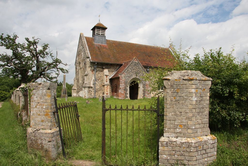
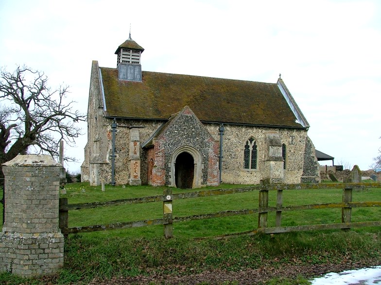
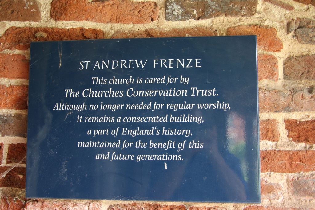
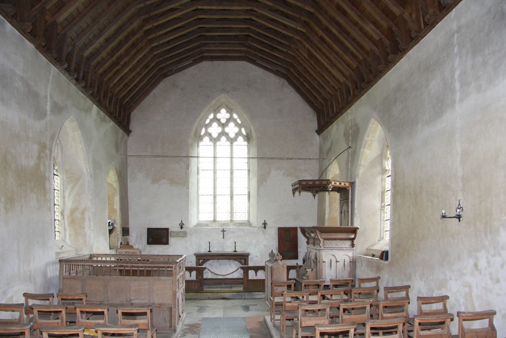
| Description | : | St Andrew's Church, Frenze, is a redundant Anglican church in the civil parish of Scole, Norfolk, England. It has been designated by English Heritage as a Grade I listed building, and is under the care of the Churches Conservation Trust. The church stands in an isolated position adjacent to Frenze Hall, near to the long distance footpath, Boudica's Way, 1 mile (1.6 km) northeast of Diss. The church was built in the early 14th century, and the south porch was added in the early 16th century. A bellcote was built at a later date. Although the church is now redundant, services... Read More |
frequently asked questions (FAQ):
-
Where is St Andrew's Frenze Church?
St Andrew's Frenze Church is located at Scole, South Norfolk District ,Norfolk ,England.
-
St Andrew's Frenze Church cemetery's updated grave count on graveviews.com?
0 memorials
-
Where are the coordinates of the St Andrew's Frenze Church?
Latitude: 52.3802000
Longitude: 1.1361000
Nearby Cemetories:
1. Diss Cemetery
Diss, South Norfolk District, England
Coordinate: 52.3839060, 1.1115880
2. Saint Mary Churchyard
Diss, South Norfolk District, England
Coordinate: 52.3772370, 1.1097880
3. Diss War Memorial
Diss, South Norfolk District, England
Coordinate: 52.3773380, 1.1088530
4. Saint Andrew Churchyard
Scole, South Norfolk District, England
Coordinate: 52.3671670, 1.1579150
5. Unitarian Chapel Cemetery
Palgrave, Mid Suffolk District, England
Coordinate: 52.3693130, 1.1086820
6. Croft Lane Baptist Church Burial Ground
Diss, South Norfolk District, England
Coordinate: 52.3771070, 1.1025490
7. All Saints Churchyard
Stuston, Mid Suffolk District, England
Coordinate: 52.3571980, 1.1332590
8. Saint Mary the Virgin Churchyard
Burston, South Norfolk District, England
Coordinate: 52.4049300, 1.1402600
9. St Peter Churchyard
Palgrave, Mid Suffolk District, England
Coordinate: 52.3634190, 1.1059170
10. Saint George Churchyard
Shimpling, South Norfolk District, England
Coordinate: 52.3993000, 1.1680000
11. St. George's Churchyard
Shimpling, Babergh District, England
Coordinate: 52.3994010, 1.1680910
12. St Leonard Churchyard
Billingford, South Norfolk District, England
Coordinate: 52.3666290, 1.1834260
13. St. Nicholas Churchyard
Oakley, Mid Suffolk District, England
Coordinate: 52.3518380, 1.1662190
14. All Saints Churchyard
Dickleburgh and Rushall, South Norfolk District, England
Coordinate: 52.3968580, 1.1848010
15. St. Remigius Churchyard
Roydon, South Norfolk District, England
Coordinate: 52.3815610, 1.0784680
16. St. Mary's Churchyard
Brome, Mid Suffolk District, England
Coordinate: 52.3443800, 1.1475990
17. All Saints Churchyard
Shelfanger, South Norfolk District, England
Coordinate: 52.4104780, 1.0969230
18. Saint Mary Churchyard
Gissing, South Norfolk District, England
Coordinate: 52.4235630, 1.1548260
19. Saint Peter and St. Paul Churchyard
Hoxne, Mid Suffolk District, England
Coordinate: 52.3522270, 1.2016300
20. St. John the Baptist Churchyard
Bressingham, South Norfolk District, England
Coordinate: 52.3853850, 1.0489290
21. Bressingham Cemetery
Bressingham, South Norfolk District, England
Coordinate: 52.3854520, 1.0486290
22. Eye War Memorial
Eye, Mid Suffolk District, England
Coordinate: 52.3213410, 1.1461480
23. St Mary Churchyard
Dickleburgh and Rushall, South Norfolk District, England
Coordinate: 52.3978750, 1.2290680
24. Saint Peter and Saint Paul Churchyard
Eye, Mid Suffolk District, England
Coordinate: 52.3200520, 1.1516450


