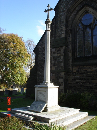
| Memorials | : | 0 |
| Location | : | Lowton St Mary's, Metropolitan Borough of Wigan, England |
| Website | : | www.achurchnearyou.com/lowtonstmarys/ |
| Coordinate | : | 53.4763450, -2.5512350 |
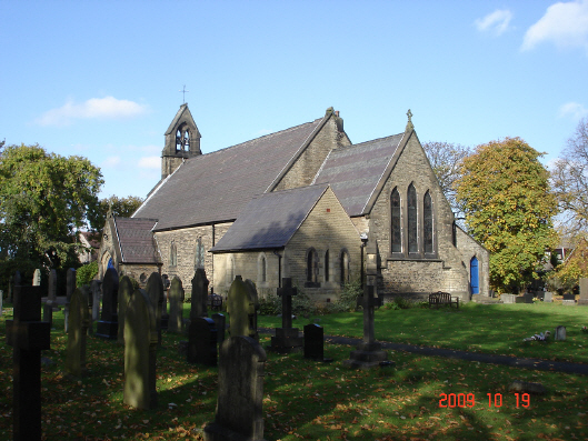
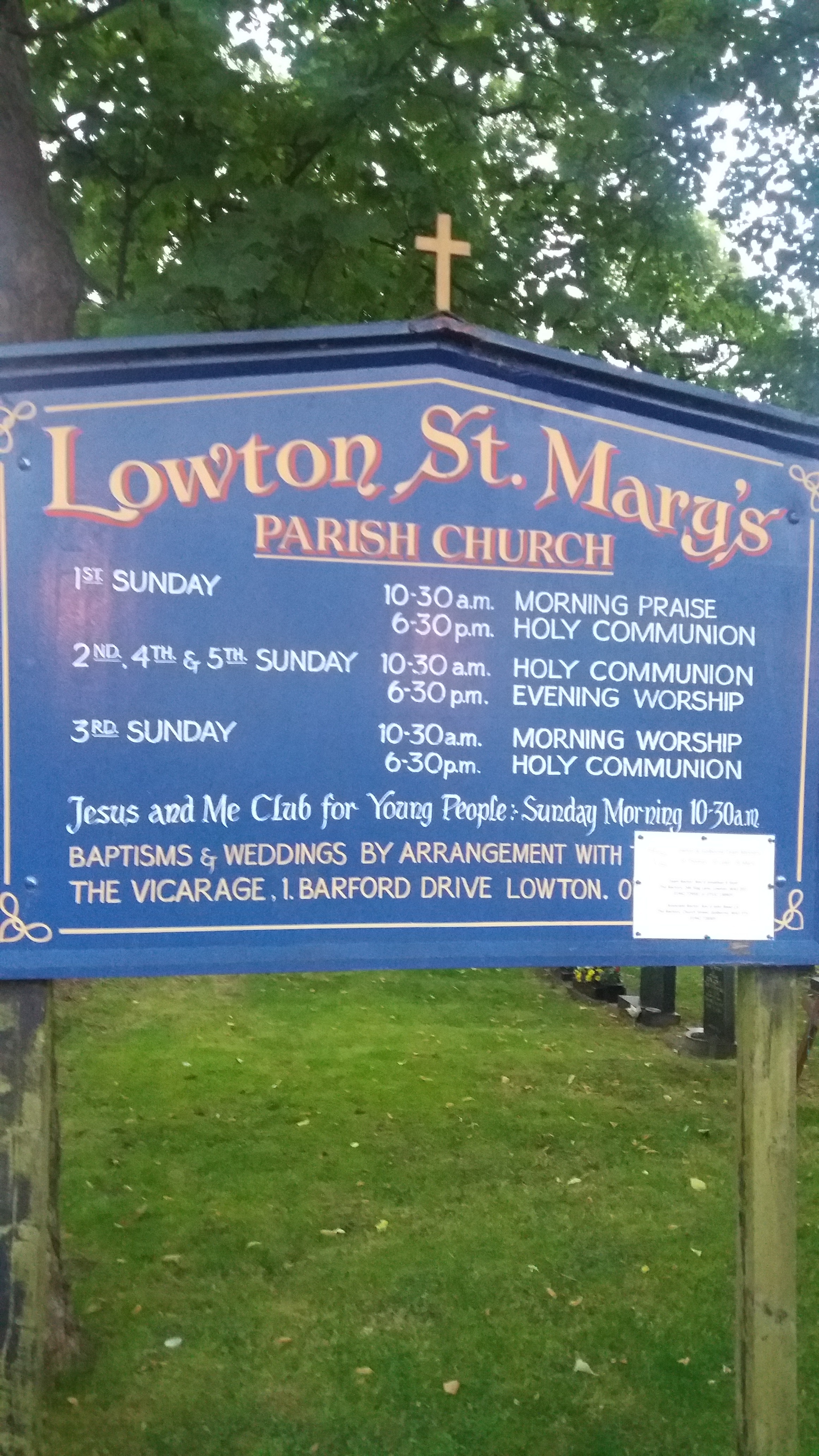
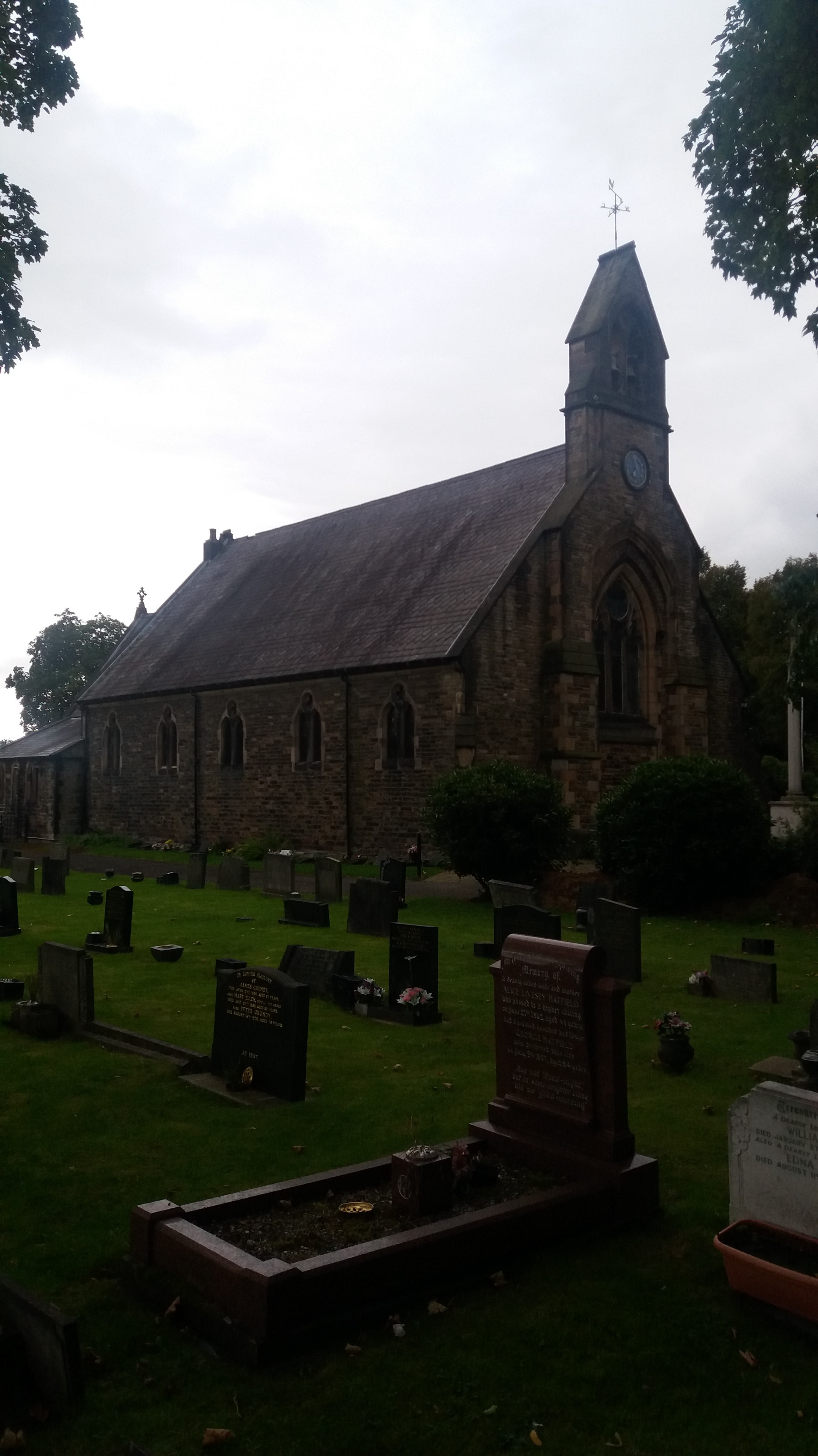
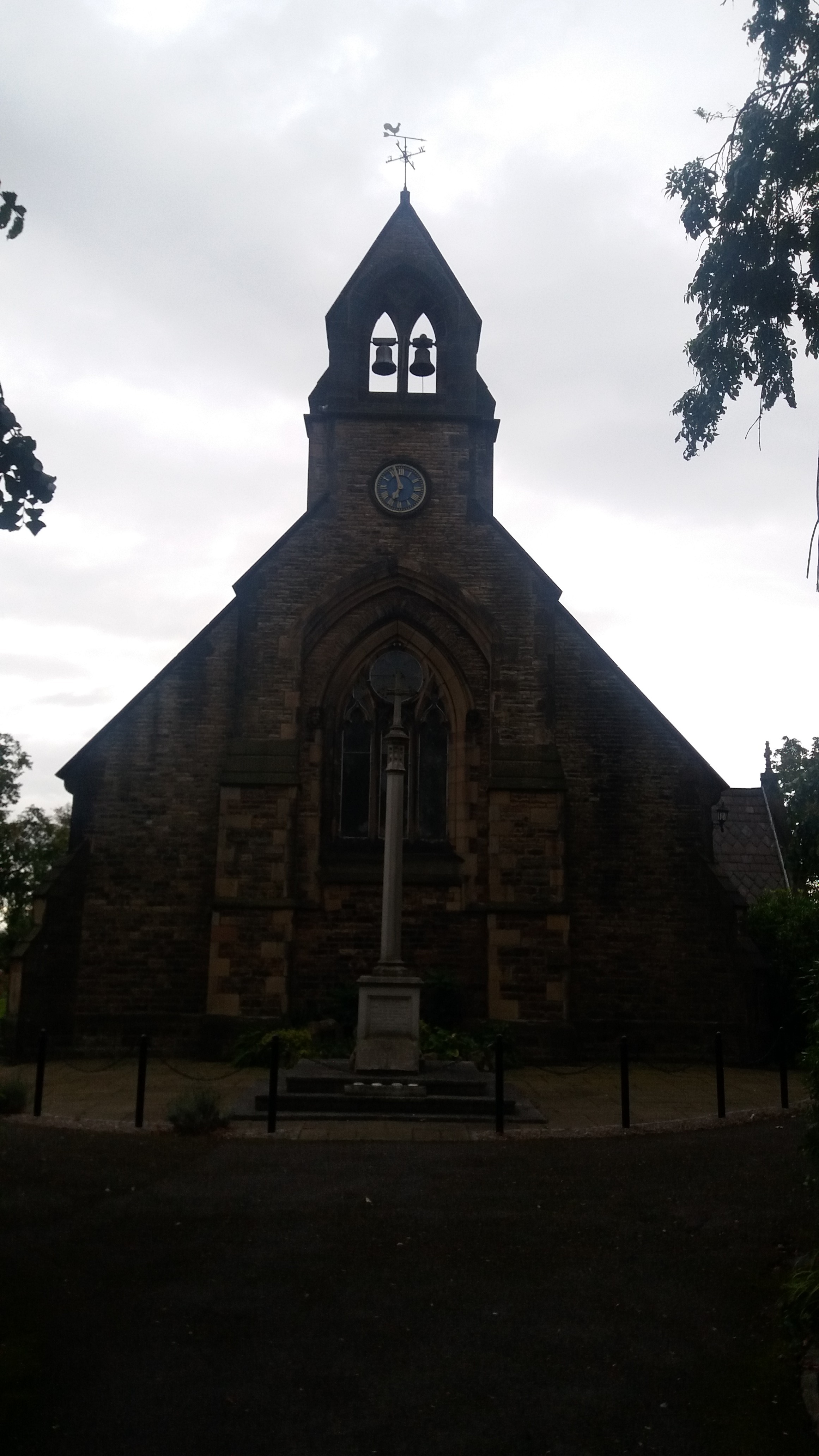
| Description | : | Lord Bishop of Chester who Consecrated and opened the Church of Lowton St. Mary on Thursday, 21st November 1861, and the Deed of Consecration bears his signature. Witnesses to the signing of the Deed were F. G. Hopwood, Rector of Winwick, Thomas Foster, Rector of Lowton St. Luke's, and John Whiteley, Rector of Newton. |
frequently asked questions (FAQ):
-
Where is St. Mary's Parish Churchyard?
St. Mary's Parish Churchyard is located at Newton Rd Lowton St Mary's, Metropolitan Borough of Wigan ,Greater Manchester , WA3 1ENEngland.
-
St. Mary's Parish Churchyard cemetery's updated grave count on graveviews.com?
0 memorials
-
Where are the coordinates of the St. Mary's Parish Churchyard?
Latitude: 53.4763450
Longitude: -2.5512350
Nearby Cemetories:
1. St. Luke's Churchyard
Lowton Common, Metropolitan Borough of Wigan, England
Coordinate: 53.4752100, -2.5805770
2. St. Thomas' Churchyard
Golborne, Metropolitan Borough of Wigan, England
Coordinate: 53.4837560, -2.5917430
3. All Saints Roman Catholic Churchyard
Golborne, Metropolitan Borough of Wigan, England
Coordinate: 53.4745130, -2.5991750
4. St Thomas Churchyard
Leigh, Metropolitan Borough of Wigan, England
Coordinate: 53.4948600, -2.5073800
5. All Saints Churchyard
Glazebury, Warrington Unitary Authority, England
Coordinate: 53.4698200, -2.4951800
6. Newchurch Parish Church
Culcheth, Warrington Unitary Authority, England
Coordinate: 53.4505900, -2.5105500
7. Christ Church Churchyard
Warrington, Warrington Unitary Authority, England
Coordinate: 53.4376659, -2.5428132
8. St Paul Churchyard
Leigh, Metropolitan Borough of Wigan, England
Coordinate: 53.5146900, -2.5278200
9. St. John the Evangelist Churchyard
Abram, Metropolitan Borough of Wigan, England
Coordinate: 53.5090290, -2.5941470
10. Unitarian Chapel
Croft, Warrington Unitary Authority, England
Coordinate: 53.4345995, -2.5440079
11. St. Peter's Churchyard
Newton-le-Willows, Metropolitan Borough of St Helens, England
Coordinate: 53.4559330, -2.6143730
12. Leigh Cemetery
Leigh, Metropolitan Borough of Wigan, England
Coordinate: 53.4947990, -2.4802490
13. Risley Presbyterian Church Churchyard
Warrington Unitary Authority, England
Coordinate: 53.4322500, -2.5283880
14. Howe Bridge Cemetery and Crematorium
Atherton, Metropolitan Borough of Wigan, England
Coordinate: 53.5197100, -2.5135410
15. St Thomas' Churchyard (Heath Road Extension)
Ashton-In-Makerfield, Metropolitan Borough of Wigan, England
Coordinate: 53.4850470, -2.6345810
16. Newton-le-Willows Cemetery
Newton-le-Willows, Metropolitan Borough of St Helens, England
Coordinate: 53.4471970, -2.6217090
17. St. Mary and St. John RC Churchyard
Newton-le-Willows, Metropolitan Borough of St Helens, England
Coordinate: 53.4559410, -2.6323930
18. St. Oswald Churchyard
Winwick, Warrington Unitary Authority, England
Coordinate: 53.4309200, -2.5972200
19. St Thomas Churchyard
Ashton-In-Makerfield, Metropolitan Borough of Wigan, England
Coordinate: 53.4856362, -2.6402671
20. Atherton Cemetery
Atherton, Metropolitan Borough of Wigan, England
Coordinate: 53.5218990, -2.5015130
21. Emmanuel Wargrave
Newton-le-Willows, Metropolitan Borough of St Helens, England
Coordinate: 53.4454500, -2.6277060
22. All Saints Parish Churchyard
Hindley, Metropolitan Borough of Wigan, England
Coordinate: 53.5341110, -2.5707090
23. Winwick Hospital Churchyard
Warrington Unitary Authority, England
Coordinate: 53.4265000, -2.6050000
24. St. Stephen Church
Astley, Metropolitan Borough of Wigan, England
Coordinate: 53.5016780, -2.4579610

