| Memorials | : | 59 |
| Location | : | Bentworth, East Hampshire District, England |
| Coordinate | : | 51.1579100, -1.0500600 |
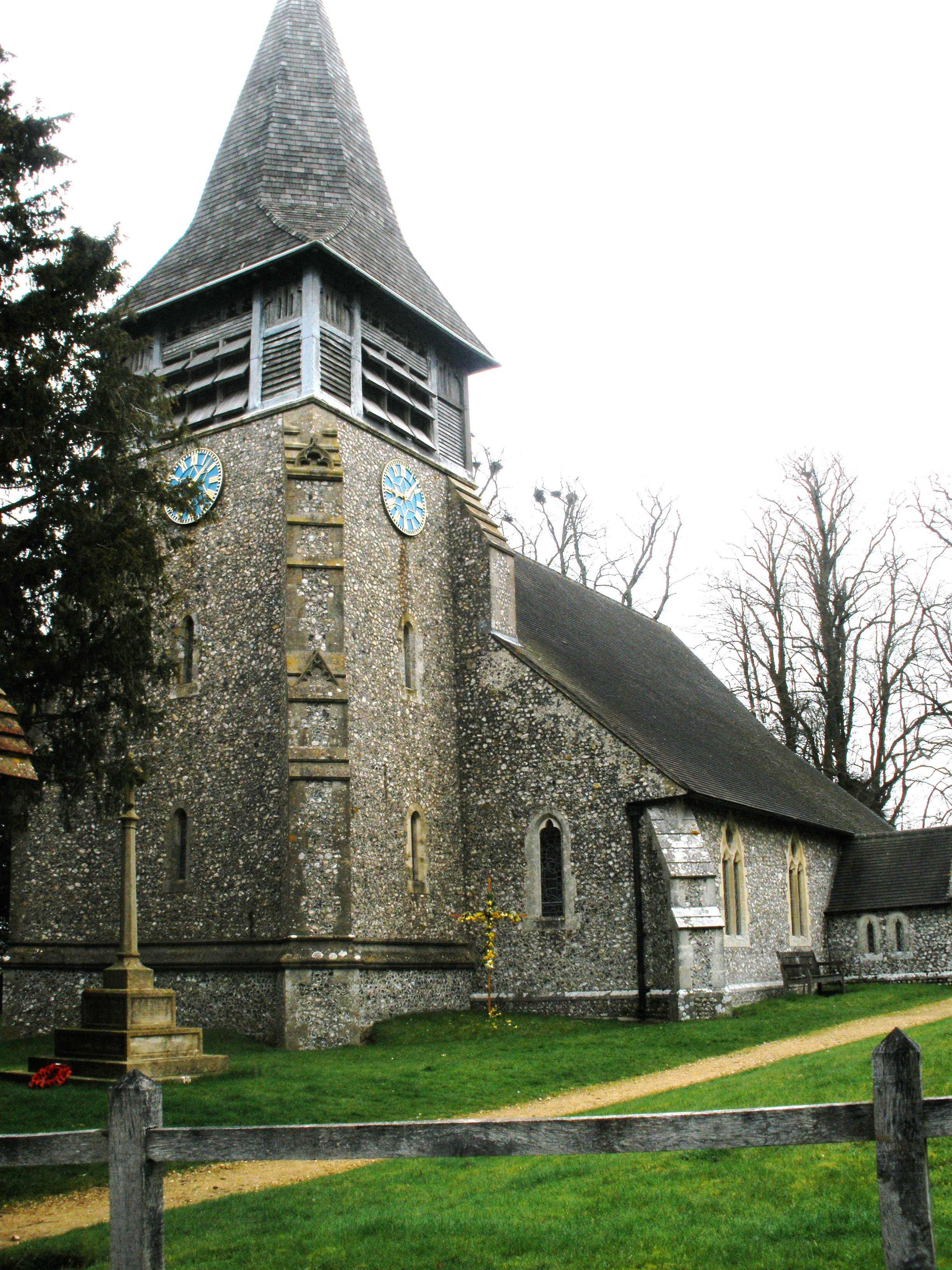
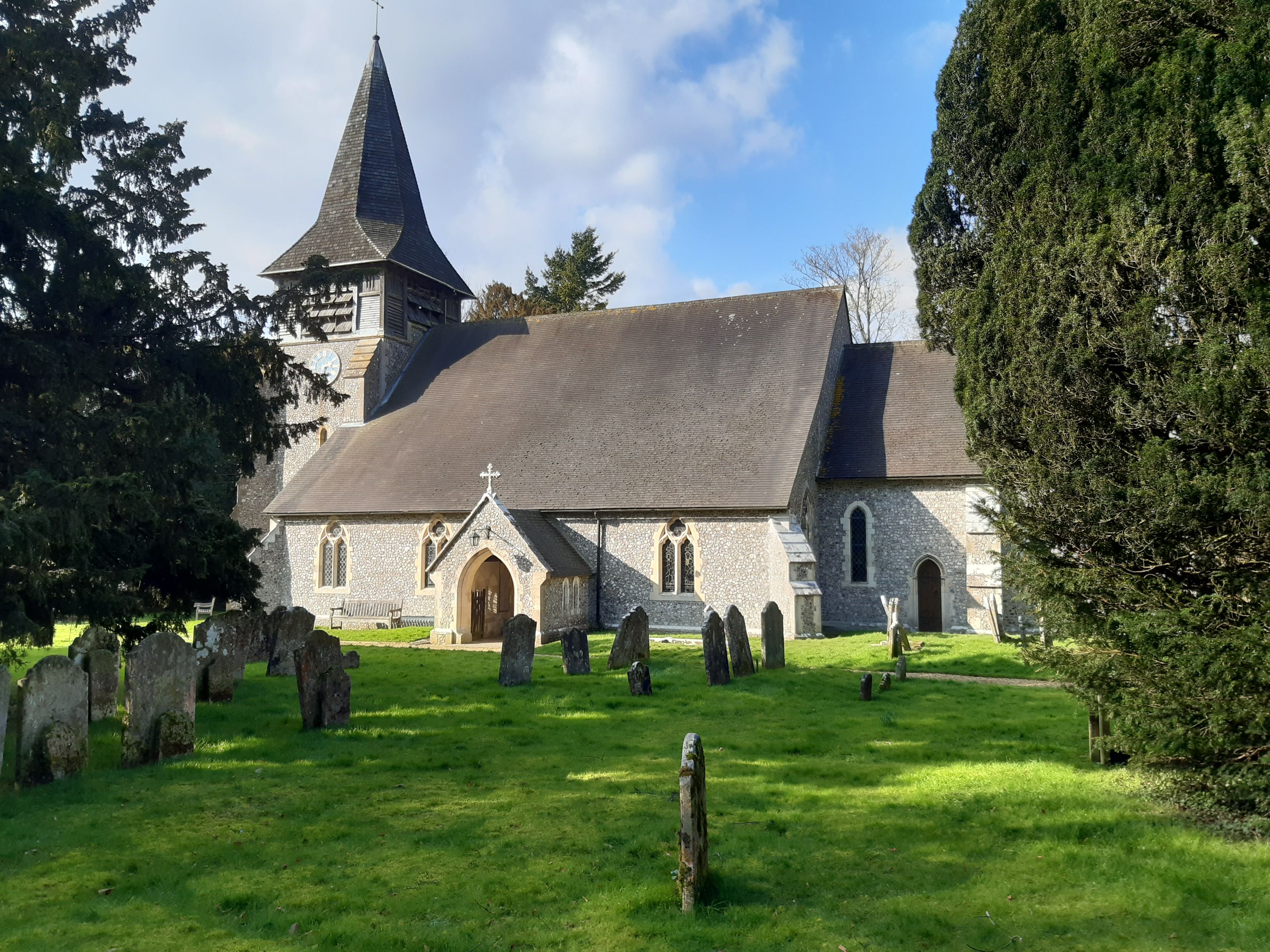
| Description | : | Bentworth is village dating back to Anglo-Saxon times. St Mary's church was built about 1150. Its tower was rebuilt in 1890. The churchyard contains various graves and a war memorial with the names of 14 villagers who fell in the First World War and 9 from the Second World War. |
frequently asked questions (FAQ):
-
Where is St Mary Churchyard?
St Mary Churchyard is located at Church Street Bentworth, East Hampshire District ,Hampshire , GU34 5REEngland.
-
St Mary Churchyard cemetery's updated grave count on graveviews.com?
56 memorials
-
Where are the coordinates of the St Mary Churchyard?
Latitude: 51.1579100
Longitude: -1.0500600
Nearby Cemetories:
1. St Mary Churchyard
Bentworth, East Hampshire District, England
Coordinate: 51.1579900, -1.0499460
2. St Mary Churchyard
Lasham, East Hampshire District, England
Coordinate: 51.1778500, -1.0346000
3. St Peter and St Paul Churchyard
Shalden, East Hampshire District, England
Coordinate: 51.1703300, -1.0097400
4. St Andrew Churchyard
Medstead, East Hampshire District, England
Coordinate: 51.1299560, -1.0657490
5. All Saints Churchyard
Bradley, Basingstoke and Deane Borough, England
Coordinate: 51.1719500, -1.0923600
6. Medstead Cemetery
Medstead, East Hampshire District, England
Coordinate: 51.1271700, -1.0620900
7. St. James' Churchyard
Wield, East Hampshire District, England
Coordinate: 51.1446800, -1.1027700
8. Alton Cemetery
Alton, East Hampshire District, England
Coordinate: 51.1540450, -0.9763080
9. Quaker Meeting House and Burial Ground
Alton, East Hampshire District, England
Coordinate: 51.1519303, -0.9758392
10. St. Lawrence Churchyard
Alton, East Hampshire District, England
Coordinate: 51.1511970, -0.9759380
11. Chawton Cemetery
Chawton, East Hampshire District, England
Coordinate: 51.1269000, -0.9926700
12. St Nicholas Churchyard
Chawton, East Hampshire District, England
Coordinate: 51.1282000, -0.9897880
13. St Mary Churchyard
Herriard, Basingstoke and Deane Borough, England
Coordinate: 51.2093000, -1.0515700
14. St. Mary the Virgin Churchyard
Preston Candover, Basingstoke and Deane Borough, England
Coordinate: 51.1699530, -1.1336090
15. St Martin Churchyard
Ellisfield, Basingstoke and Deane Borough, England
Coordinate: 51.2084970, -1.0868310
16. St. Mary the Virgin Old Churchyard
Preston Candover, Basingstoke and Deane Borough, England
Coordinate: 51.1688476, -1.1380713
17. Holy Rood Churchyard
Holybourne, East Hampshire District, England
Coordinate: 51.1657120, -0.9535570
18. All Saints Churchyard
Farringdon, East Hampshire District, England
Coordinate: 51.1135700, -0.9829400
19. St. Mary's Churchyard
Nutley, Basingstoke and Deane Borough, England
Coordinate: 51.1965110, -1.1291030
20. St Lawrence Churchyard
Weston Patrick, Basingstoke and Deane Borough, England
Coordinate: 51.2170740, -1.0121040
21. All Saints Churchyard
Bighton, City of Winchester, England
Coordinate: 51.1064610, -1.1297250
22. Froyle Cemetery
Froyle, East Hampshire District, England
Coordinate: 51.1941910, -0.9479140
23. All Saints Churchyard
Tunworth, Basingstoke and Deane Borough, England
Coordinate: 51.2312600, -1.0367400
24. St Nicholas Churchyard
West Worldham, East Hampshire District, England
Coordinate: 51.1275100, -0.9420600


