| Memorials | : | 0 |
| Location | : | Allerdale Borough, England |
| Coordinate | : | 54.6163200, -3.5588400 |
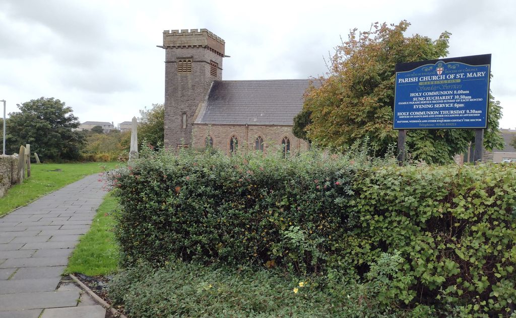
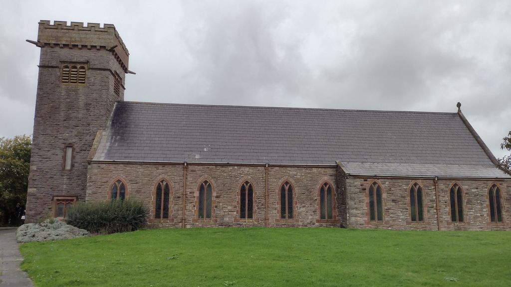
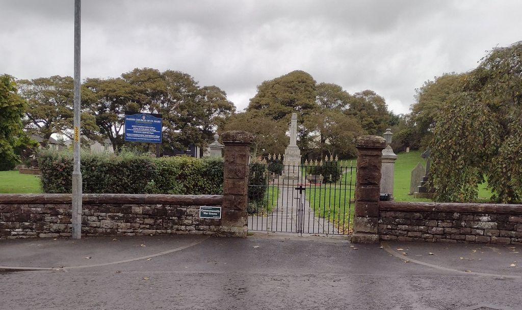
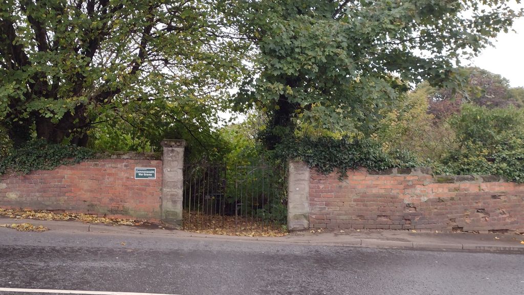
| Description | : | A fine Sandstone Church built on a foundation from 1177. The church has been rebuilt twice, firstly in 1634, and then early in the nineteenth century an increasing population led to a decision to enlarge it and a new chancel was built in 1825. St Mary's is the Anglican Church for Salterbeck, Harrington and High Harrington in West Cumbria. The original cemetery was within the grounds of the church but when this became full, land was purchased directly opposite the church and this is known as St. Mary Church Cemetery Extension. |
frequently asked questions (FAQ):
-
Where is St. Mary - Harrington?
St. Mary - Harrington is located at Church Road, Harrington, Workington. Allerdale Borough ,Cumbria , CA14 5PNEngland.
-
St. Mary - Harrington cemetery's updated grave count on graveviews.com?
0 memorials
-
Where are the coordinates of the St. Mary - Harrington?
Latitude: 54.6163200
Longitude: -3.5588400
Nearby Cemetories:
1. Salterbeck Cemetery
Workington, Allerdale Borough, England
Coordinate: 54.6221220, -3.5659930
2. Distington Parish Church
Distington, Copeland Borough, England
Coordinate: 54.5975250, -3.5428840
3. Harrington Road Cemetery
Workington, Allerdale Borough, England
Coordinate: 54.6380140, -3.5512390
4. Distington Hall Crematorium
Distington, Copeland Borough, England
Coordinate: 54.5997900, -3.5260050
5. St. John's Churchyard
Workington, Allerdale Borough, England
Coordinate: 54.6413935, -3.5442752
6. St Michael's Church
Workington, Allerdale Borough, England
Coordinate: 54.6457000, -3.5553000
7. Saint Bridget's Churchyard
Moresby, Copeland Borough, England
Coordinate: 54.5741510, -3.5757490
8. St Peter's Churchyard
Camerton, Allerdale Borough, England
Coordinate: 54.6562240, -3.4969760
9. Saint Lukes Churchyard
Little Clifton, Allerdale Borough, England
Coordinate: 54.6483200, -3.4679900
10. St. James Parish Churchyard
Whitehaven, Copeland Borough, England
Coordinate: 54.5506840, -3.5835850
11. St Oswald Churchyard
Dean, Allerdale Borough, England
Coordinate: 54.6148500, -3.4403080
12. St. Nicholas Churchyard
Whitehaven, Copeland Borough, England
Coordinate: 54.5481030, -3.5876680
13. Holy Trinity Churchyard
Whitehaven, Copeland Borough, England
Coordinate: 54.5458410, -3.5870660
14. Flimby Cemetery
Flimby, Allerdale Borough, England
Coordinate: 54.6844750, -3.5163970
15. St Nicholas' Churchyard
Flimby, Allerdale Borough, England
Coordinate: 54.6854920, -3.5158820
16. St. Michael's Churchyard
Arlecdon, Copeland Borough, England
Coordinate: 54.5650520, -3.4674990
17. Christ Church Churchyard
Whitehaven, Copeland Borough, England
Coordinate: 54.5431590, -3.5904980
18. Hensingham Cemetery
Whitehaven, Copeland Borough, England
Coordinate: 54.5393790, -3.5647590
19. St. John‘s Old Churchyard
Hensingham, Copeland Borough, England
Coordinate: 54.5366130, -3.5685310
20. Whitehaven Cemetery
Whitehaven, Copeland Borough, England
Coordinate: 54.5341988, -3.5859001
21. St. Paul's Churchyard
Frizington, Copeland Borough, England
Coordinate: 54.5387380, -3.4965600
22. St Joseph's Roman Catholic Cemetery
Frizington, Copeland Borough, England
Coordinate: 54.5403370, -3.4863890
23. St Columba Churchyard
Broughton Moor, Allerdale Borough, England
Coordinate: 54.6866710, -3.4696330
24. Christ Churchyard
Great Broughton, Allerdale Borough, England
Coordinate: 54.6713960, -3.4356630


