
| Memorials | : | 0 |
| Location | : | Burgate, Mid Suffolk District, England |
| Coordinate | : | 52.3389250, 1.0551270 |
| Description | : | Burgate is a village and civil parish in the Hartismere district, itself in the Mid Suffolk district of the county of Suffolk, England, about 5 miles south-west of Diss (which is in Norfolk). |
frequently asked questions (FAQ):
-
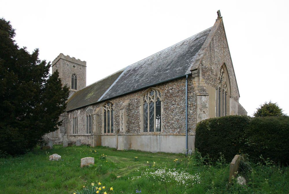
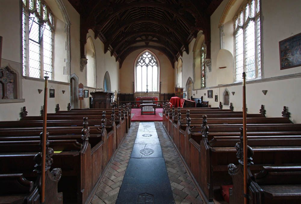
Where is St. Mary of Pity Churchyard?
St. Mary of Pity Churchyard is located at Sycamore View Burgate, Mid Suffolk District ,Suffolk , IP22 1QEEngland.
-
St. Mary of Pity Churchyard cemetery's updated grave count on graveviews.com?
0 memorials
-
Where are the coordinates of the St. Mary of Pity Churchyard?
Latitude: 52.3389250
Longitude: 1.0551270
Nearby Cemetories:
1. St Mary the Virgin Churchyard
Mellis, Mid Suffolk District, England
Coordinate: 52.3268950, 1.0725720
2. St. Botolph's Church Burial Ground
Botesdale, Mid Suffolk District, England
Coordinate: 52.3428830, 1.0061950
3. Botesdale Methodist Church Churchyard
Botesdale, Mid Suffolk District, England
Coordinate: 52.3430420, 1.0028410
4. St. Mary the Virgin Churchyard
Redgrave, Mid Suffolk District, England
Coordinate: 52.3632900, 1.0196800
5. Saint Mary Churchyard
Gislingham, Mid Suffolk District, England
Coordinate: 52.3050760, 1.0441380
6. St Mary Churchyard
Thornham Parva, Mid Suffolk District, England
Coordinate: 52.3113910, 1.0926010
7. St. Mary's Churchyard (Inferior)
Rickinghall, Mid Suffolk District, England
Coordinate: 52.3363130, 0.9912010
8. St Mary Churchyard
Rickinghall, Mid Suffolk District, England
Coordinate: 52.3363130, 0.9910550
9. St Peter Churchyard
Palgrave, Mid Suffolk District, England
Coordinate: 52.3634190, 1.1059170
10. St Mary Magdalene Churchyard
Thornham Magna, Mid Suffolk District, England
Coordinate: 52.3006270, 1.0843850
11. Unitarian Chapel Cemetery
Palgrave, Mid Suffolk District, England
Coordinate: 52.3693130, 1.1086820
12. St. Remigius Churchyard
Roydon, South Norfolk District, England
Coordinate: 52.3815610, 1.0784680
13. St. John the Baptist Churchyard
Bressingham, South Norfolk District, England
Coordinate: 52.3853850, 1.0489290
14. Bressingham Cemetery
Bressingham, South Norfolk District, England
Coordinate: 52.3854520, 1.0486290
15. Croft Lane Baptist Church Burial Ground
Diss, South Norfolk District, England
Coordinate: 52.3771070, 1.1025490
16. Diss War Memorial
Diss, South Norfolk District, England
Coordinate: 52.3773380, 1.1088530
17. St. Mary's Churchyard
Hinderclay, Mid Suffolk District, England
Coordinate: 52.3521190, 0.9749790
18. Saint Mary Churchyard
Diss, South Norfolk District, England
Coordinate: 52.3772370, 1.1097880
19. All Saints Churchyard
Stuston, Mid Suffolk District, England
Coordinate: 52.3571980, 1.1332590
20. Eye Cemetery
Eye, Mid Suffolk District, England
Coordinate: 52.3188270, 1.1371000
21. All Saints Churchyard
Stoke Ash, Mid Suffolk District, England
Coordinate: 52.2912030, 1.0998050
22. Stoke Ash Baptist Church Cemetery
Stoke Ash, Mid Suffolk District, England
Coordinate: 52.2902910, 1.1003490
23. Diss Cemetery
Diss, South Norfolk District, England
Coordinate: 52.3839060, 1.1115880
24. St. Mary's Churchyard
Brome, Mid Suffolk District, England
Coordinate: 52.3443800, 1.1475990