| Memorials | : | 0 |
| Location | : | Ewelme, South Oxfordshire District, England |
| Coordinate | : | 51.6177310, -1.0674850 |
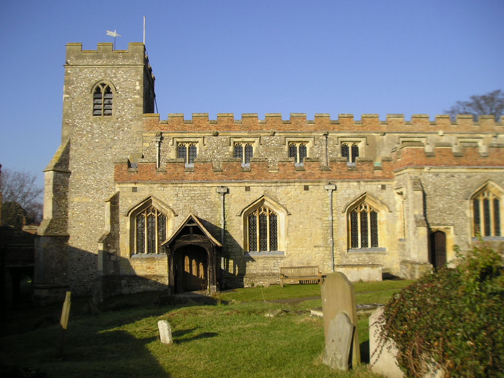
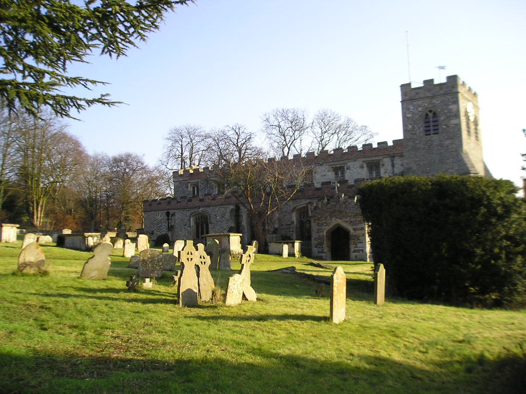
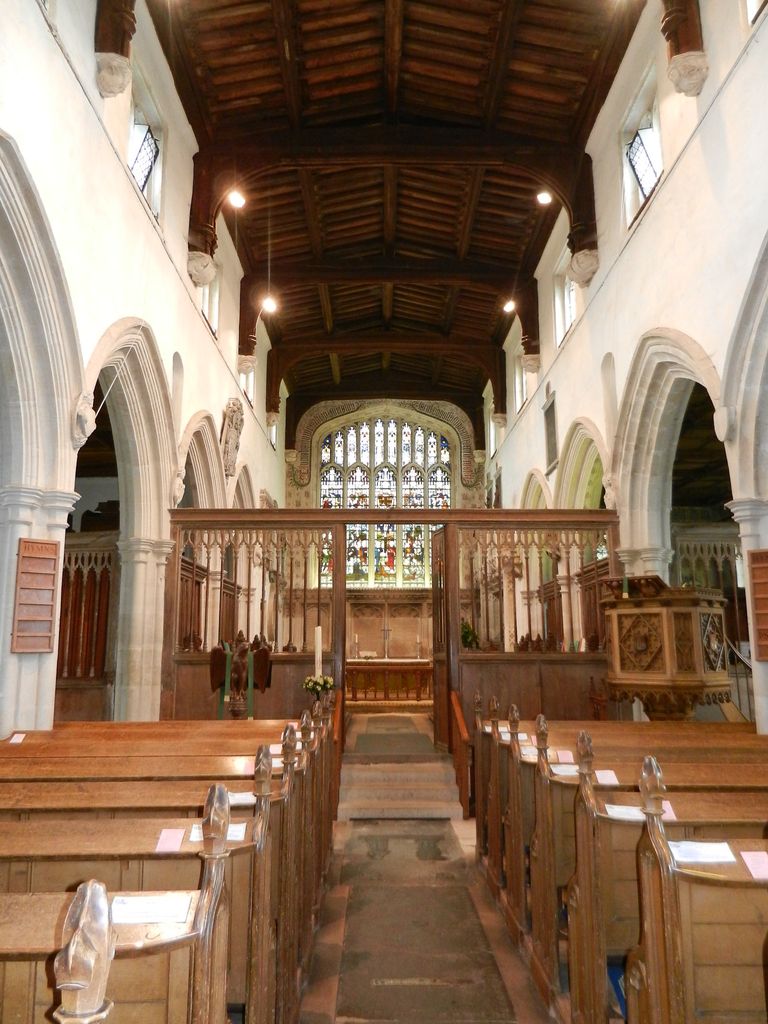
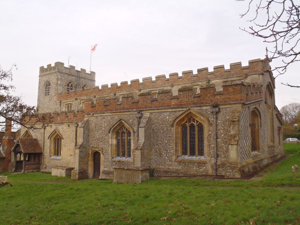
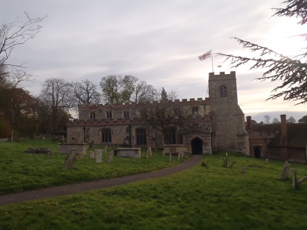
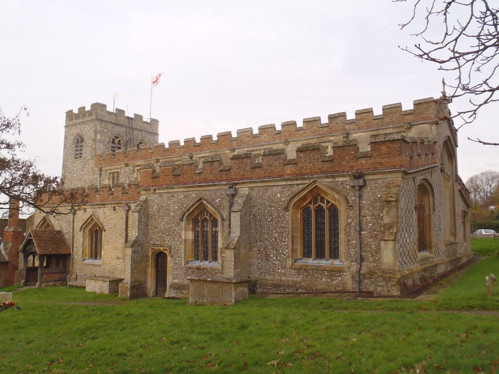
| Description | : | Built on an ancient site, the tower of the church is 14th century although the remainder of the church dates from the 15th century. Restoration and alteration since then has been comparatively minor. Thomas Chaucer, Governor of Wallingford Castle, five times Speaker of the House of Commons, and his wife Matilda de Burghersh are buried in the church that adjoins the almshouses. Thomas was the son of Geoffrey Chaucer, the poet, and Philippa de Roet, whose sister married John of Gaunt, son of Edward III. The tomb chest of Thomas and that of his wife are topped with memorial brasses... Read More |
frequently asked questions (FAQ):
-
Where is St. Mary the Virgin Churchyard?
St. Mary the Virgin Churchyard is located at Ewelme, South Oxfordshire District ,Oxfordshire ,England.
-
St. Mary the Virgin Churchyard cemetery's updated grave count on graveviews.com?
0 memorials
-
Where are the coordinates of the St. Mary the Virgin Churchyard?
Latitude: 51.6177310
Longitude: -1.0674850
Nearby Cemetories:
1. Benson War Memorial
Benson, South Oxfordshire District, England
Coordinate: 51.6207890, -1.1108700
2. St. Helen Churchyard Extension
Benson, South Oxfordshire District, England
Coordinate: 51.6201400, -1.1121200
3. St. Helen's Churchyard
Benson, South Oxfordshire District, England
Coordinate: 51.6200200, -1.1127400
4. St Nicholas Churchyard
Britwell Salome, South Oxfordshire District, England
Coordinate: 51.6376983, -1.0262075
5. Brightwell Baldwin St Bartholomews Churchyard
Brightwell Baldwin, South Oxfordshire District, England
Coordinate: 51.6500670, -1.0569610
6. St. Botolph's New Graveyard
Swyncombe, South Oxfordshire District, England
Coordinate: 51.6064829, -1.0167999
7. St. Botolph Old Cemetery
Swyncombe, South Oxfordshire District, England
Coordinate: 51.6065347, -1.0157358
8. St Mary Magdalene Churchyard
Crowmarsh Gifford, South Oxfordshire District, England
Coordinate: 51.5992169, -1.1139564
9. Wallingford Cemetery
Wallingford, South Oxfordshire District, England
Coordinate: 51.6058200, -1.1232000
10. Saint Peter's Churchyard
Wallingford, South Oxfordshire District, England
Coordinate: 51.6005819, -1.1215970
11. All Hallows Graveyard
Wallingford, South Oxfordshire District, England
Coordinate: 51.6020520, -1.1242267
12. Holy Rood Churchyard
Cuxham, South Oxfordshire District, England
Coordinate: 51.6516250, -1.0376070
13. St. Mary-le-More Churchyard
Wallingford, South Oxfordshire District, England
Coordinate: 51.5993878, -1.1249488
14. St. Leonard's Churchyard
Wallingford, South Oxfordshire District, England
Coordinate: 51.5972711, -1.1230712
15. Holy Trinity Churchyard
Nuffield, South Oxfordshire District, England
Coordinate: 51.5810040, -1.0378960
16. St. Leonard's Churchyard
Watlington, South Oxfordshire District, England
Coordinate: 51.6474030, -1.0117420
17. Friends Burying Ground
Warborough, South Oxfordshire District, England
Coordinate: 51.6374080, -1.1354510
18. St. John the Baptist Church (Defunct)
Mongwell, South Oxfordshire District, England
Coordinate: 51.5860980, -1.1233580
19. Watlington War Memorial
Watlington, South Oxfordshire District, England
Coordinate: 51.6456450, -1.0065781
20. St Mary's Church Cemetery
Chalgrove, South Oxfordshire District, England
Coordinate: 51.6641000, -1.0802000
21. St Laurence Churchyard
Warborough, South Oxfordshire District, England
Coordinate: 51.6383330, -1.1358310
22. St. Mary the Virgin Cemetery
Ipsden, South Oxfordshire District, England
Coordinate: 51.5674164, -1.0866686
23. St Peter Churchyard
Easington, South Oxfordshire District, England
Coordinate: 51.6684300, -1.0443070
24. St Mary Churchyard
Pyrton, South Oxfordshire District, England
Coordinate: 51.6558520, -1.0076830

