
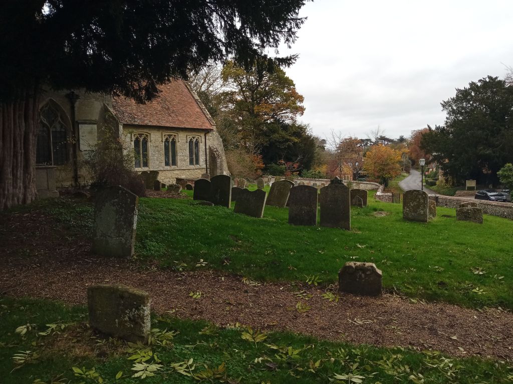
| Memorials | : | 5 |
| Location | : | Brightwell Baldwin, South Oxfordshire District, England |
| Coordinate | : | 51.6500670, -1.0569610 |
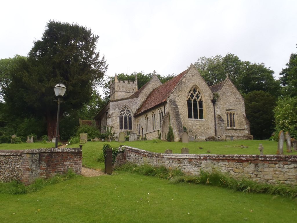
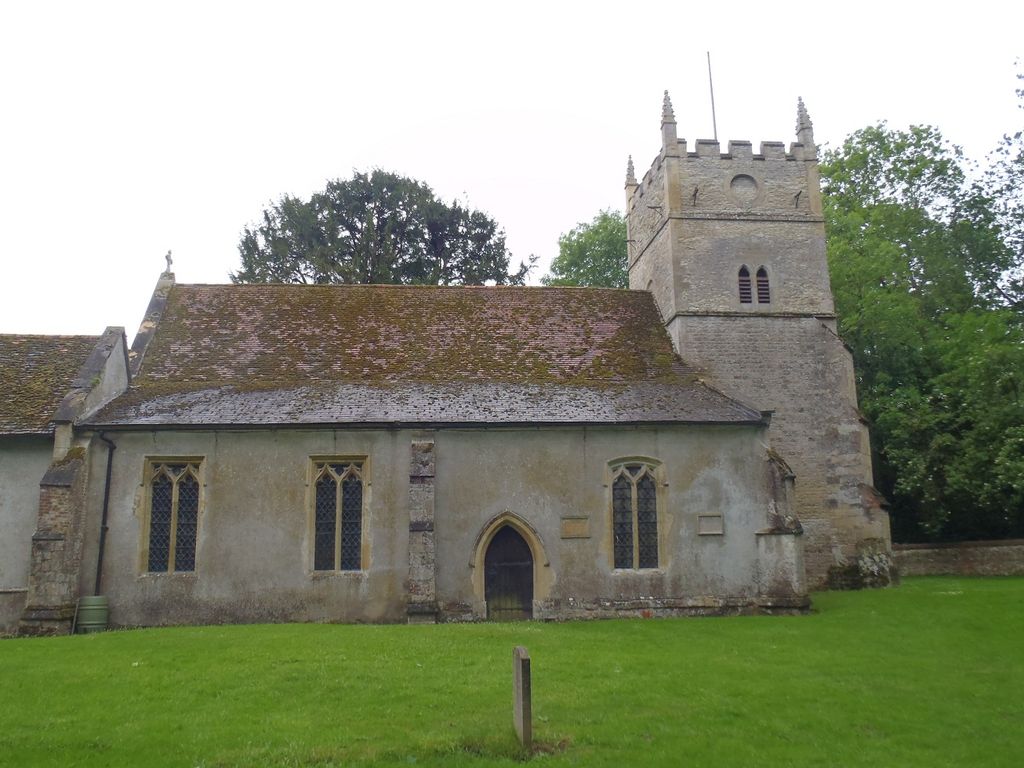
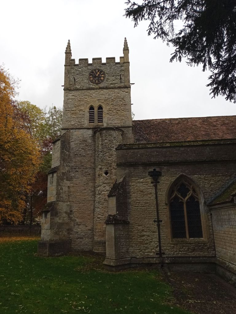
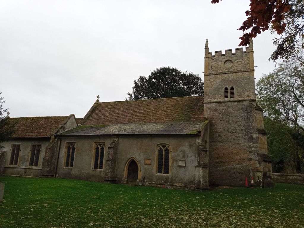
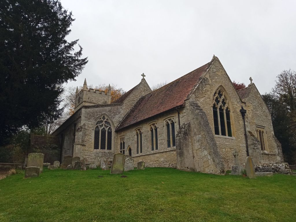
| Description | : | The Church of England parish church of Saint Bartholomew was built in the 14th century in the Decorated Gothic style. The chancel includes the remains of a 13th century lancet window, a remnant of an earlier church building on the site. The Perpendicular Gothic east window and west tower were added in the 15th century. The bell tower has a ring of six bells. The tenor bell was cast in the 15th century and another of the bells was cast in 1637.The remaining four were cast by Mears and Stainbank in 1911. |
frequently asked questions (FAQ):
-
Where is Brightwell Baldwin St Bartholomews Churchyard?
Brightwell Baldwin St Bartholomews Churchyard is located at Brightwell Baldwin, South Oxfordshire District ,Oxfordshire ,England.
-
Brightwell Baldwin St Bartholomews Churchyard cemetery's updated grave count on graveviews.com?
5 memorials
-
Where are the coordinates of the Brightwell Baldwin St Bartholomews Churchyard?
Latitude: 51.6500670
Longitude: -1.0569610
Nearby Cemetories:
1. Holy Rood Churchyard
Cuxham, South Oxfordshire District, England
Coordinate: 51.6516250, -1.0376070
2. St Peter Churchyard
Easington, South Oxfordshire District, England
Coordinate: 51.6684300, -1.0443070
3. St Mary's Church Cemetery
Chalgrove, South Oxfordshire District, England
Coordinate: 51.6641000, -1.0802000
4. St Nicholas Churchyard
Britwell Salome, South Oxfordshire District, England
Coordinate: 51.6376983, -1.0262075
5. St. Leonard's Churchyard
Watlington, South Oxfordshire District, England
Coordinate: 51.6474030, -1.0117420
6. St Mary Churchyard
Pyrton, South Oxfordshire District, England
Coordinate: 51.6558520, -1.0076830
7. Watlington War Memorial
Watlington, South Oxfordshire District, England
Coordinate: 51.6456450, -1.0065781
8. St. Mary the Virgin Churchyard
Ewelme, South Oxfordshire District, England
Coordinate: 51.6177310, -1.0674850
9. All Saints Churchyard
Shirburn, South Oxfordshire District, England
Coordinate: 51.6577000, -0.9945000
10. St Giles Churchyard
Newington, South Oxfordshire District, England
Coordinate: 51.6638800, -1.1207600
11. Benson War Memorial
Benson, South Oxfordshire District, England
Coordinate: 51.6207890, -1.1108700
12. St. Mary Magdalene
Stoke Talmage, South Oxfordshire District, England
Coordinate: 51.6878240, -1.0183240
13. St. Helen Churchyard Extension
Benson, South Oxfordshire District, England
Coordinate: 51.6201400, -1.1121200
14. St. Helen's Churchyard
Benson, South Oxfordshire District, England
Coordinate: 51.6200200, -1.1127400
15. St. Andrew's Churchyard
Wheatfield, South Oxfordshire District, England
Coordinate: 51.6879720, -1.0050930
16. St. Botolph's New Graveyard
Swyncombe, South Oxfordshire District, England
Coordinate: 51.6064829, -1.0167999
17. Friends Burying Ground
Warborough, South Oxfordshire District, England
Coordinate: 51.6374080, -1.1354510
18. St Laurence Churchyard
Warborough, South Oxfordshire District, England
Coordinate: 51.6383330, -1.1358310
19. St. Botolph Old Cemetery
Swyncombe, South Oxfordshire District, England
Coordinate: 51.6065347, -1.0157358
20. St Leonard and St Catherine
Drayton St Leonard, South Oxfordshire District, England
Coordinate: 51.6640020, -1.1387005
21. St John the Baptist Churchyard
Stadhampton, South Oxfordshire District, England
Coordinate: 51.6848390, -1.1279600
22. St. Mary's Churchyard
Adwell, South Oxfordshire District, England
Coordinate: 51.6906560, -0.9938380
23. Wallingford Cemetery
Wallingford, South Oxfordshire District, England
Coordinate: 51.6058200, -1.1232000
24. St James Churchyard
Little Milton, South Oxfordshire District, England
Coordinate: 51.7019280, -1.1072800