
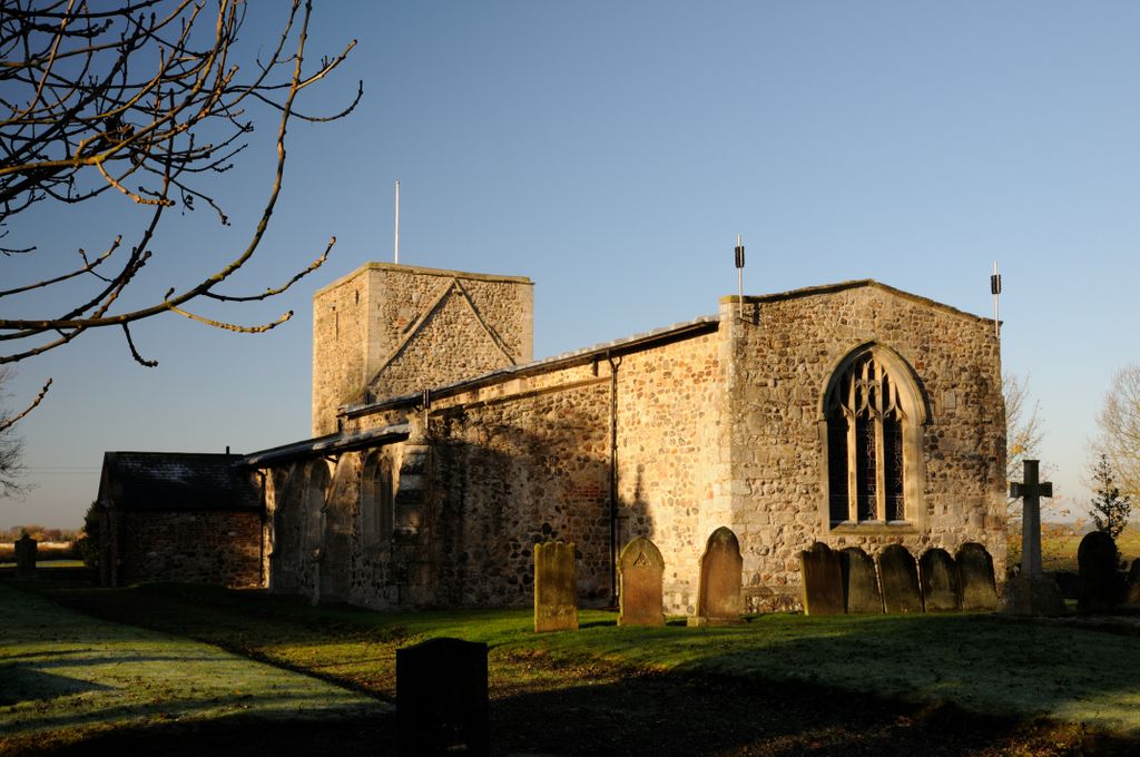
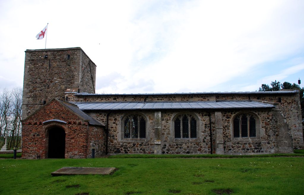
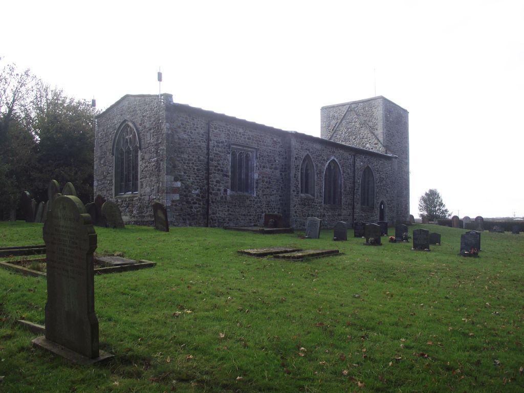
| Memorials | : | 0 |
| Location | : | Garton, East Riding of Yorkshire Unitary Authority, England |
| Coordinate | : | 53.7998850, -0.0727840 |
frequently asked questions (FAQ):
-
Where is St Michael Churchyard?
St Michael Churchyard is located at 28 Park Avenue. Garton, East Riding of Yorkshire Unitary Authority ,East Riding of Yorkshire , HU19 2JUEngland.
-
St Michael Churchyard cemetery's updated grave count on graveviews.com?
0 memorials
-
Where are the coordinates of the St Michael Churchyard?
Latitude: 53.7998850
Longitude: -0.0727840

Nearby Cemetories:
1. St Margaret Churchyard
Hilston, East Riding of Yorkshire Unitary Authority, England
Coordinate: 53.7824600, -0.0452000
2. St. Bartholomew Churchyard
Aldbrough, East Riding of Yorkshire Unitary Authority, England
Coordinate: 53.8297390, -0.1107480
3. St Peter Churchyard
Humbleton, East Riding of Yorkshire Unitary Authority, England
Coordinate: 53.7953180, -0.1396210
4. St Lawrence Churchyard
Elstronwick, East Riding of Yorkshire Unitary Authority, England
Coordinate: 53.7722500, -0.1268400
5. St. Peter and St. Paul Churchyard
Burton Pidsea, East Riding of Yorkshire Unitary Authority, England
Coordinate: 53.7611900, -0.1022900
6. Aldbrough Cemetery
Aldbrough, East Riding of Yorkshire Unitary Authority, England
Coordinate: 53.8288200, -0.1257900
7. Constable Family Mausoleum
Halsham, East Riding of Yorkshire Unitary Authority, England
Coordinate: 53.7317000, -0.0754680
8. All Saints Churchyard
Halsham, East Riding of Yorkshire Unitary Authority, England
Coordinate: 53.7308200, -0.0790490
9. Burstwick Cemetery
Burstwick, East Riding of Yorkshire Unitary Authority, England
Coordinate: 53.7347400, -0.1405800
10. All Saints Churchyard
Burstwick, East Riding of Yorkshire Unitary Authority, England
Coordinate: 53.7342100, -0.1403200
11. Keyingham Municipal Cemetery
Keyingham, East Riding of Yorkshire Unitary Authority, England
Coordinate: 53.7113730, -0.1073830
12. St Nicholas Churchyard
Keyingham, East Riding of Yorkshire Unitary Authority, England
Coordinate: 53.7111100, -0.1149800
13. St Augustine Churchyard
Hedon, East Riding of Yorkshire Unitary Authority, England
Coordinate: 53.7412750, -0.1996850
14. Hedon Town Cemetery
Hedon, East Riding of Yorkshire Unitary Authority, England
Coordinate: 53.7417400, -0.2051700
15. St Peter Churchyard
Bilton, East Riding of Yorkshire Unitary Authority, England
Coordinate: 53.7778700, -0.2466700
16. St. Nicholas' Churchyard
Hollym, East Riding of Yorkshire Unitary Authority, England
Coordinate: 53.7063300, 0.0359100
17. St. Giles' Churchyard
Goxhill, East Riding of Yorkshire Unitary Authority, England
Coordinate: 53.8860480, -0.1981080
18. Edenfield Cemetery
Hornsea, East Riding of Yorkshire Unitary Authority, England
Coordinate: 53.8991362, -0.1755450
19. Eastern Cemetery
Kingston upon Hull, Kingston upon Hull Unitary Authority, England
Coordinate: 53.7565610, -0.2639000
20. Southgate Cemetery
Hornsea, East Riding of Yorkshire Unitary Authority, England
Coordinate: 53.9082500, -0.1706000
21. Marfleet Lane Jewish Cemetery
Kingston upon Hull, Kingston upon Hull Unitary Authority, England
Coordinate: 53.7489900, -0.2670840
22. St Giles Churchyard
Marfleet, Kingston upon Hull Unitary Authority, England
Coordinate: 53.7492700, -0.2674200
23. St. Nicholas Churchyard
Hornsea, East Riding of Yorkshire Unitary Authority, England
Coordinate: 53.9108000, -0.1731280
24. Delhi Street Jewish Cemetery
Kingston upon Hull, Kingston upon Hull Unitary Authority, England
Coordinate: 53.7485900, -0.2793900