
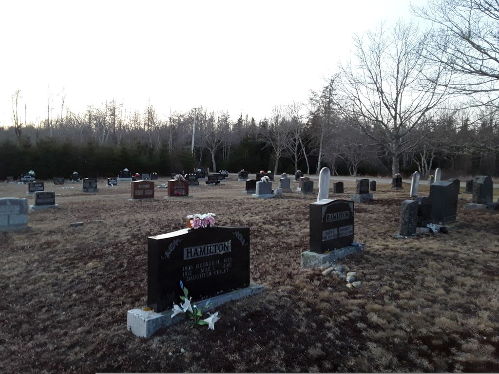
| Memorials | : | 22 |
| Location | : | Carleton Village, Shelburne County, Canada |
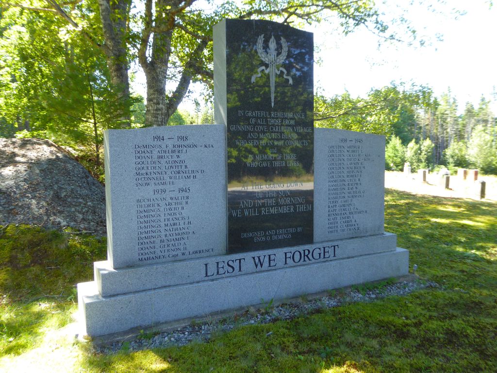
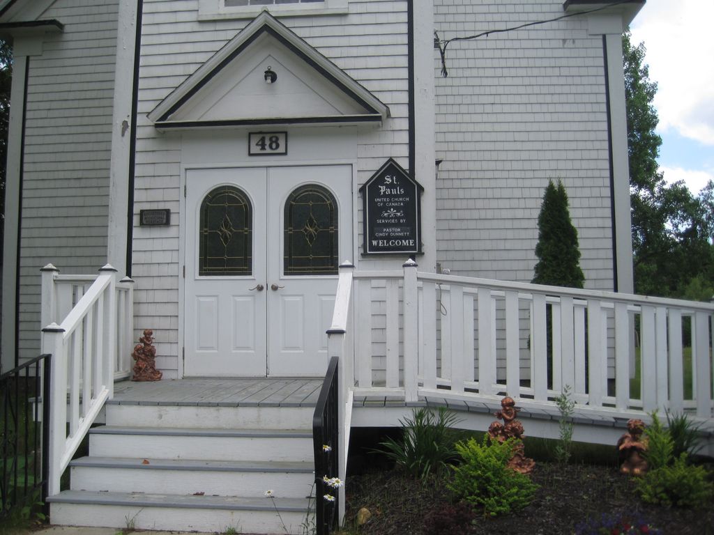
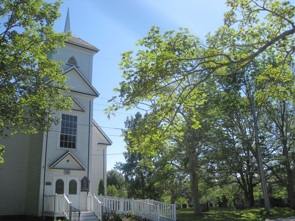
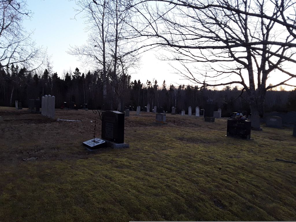
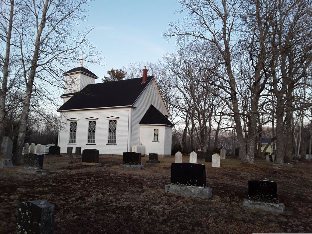
| Description | : | Located on Church Road, off of Shore Road, in Carleton Village, Nova Scotia, Canada. "The land for the church and burial ground were deeded to the Trustees of the Presbyterian Church in 1895. In 1918 an extension was deeded" Mrs Dorothy (Hagar) Freeman. It has subsequently been deeded to the community, under the name Carleton Village Community Association. "Cemetery Records of Shelburne County. Volume 5. Inventory of Grave Markers. Recorded by Christa Bruce & Mark Scott. Compliled by Patricia Terry. With additional content provided by research of Mrs Dorothy Freeman. |
frequently asked questions (FAQ):
-
Where is St. Paul's United Church Cemetery?
St. Paul's United Church Cemetery is located at No GPS information available Add GPS45 Church Road Carleton Village, Shelburne County ,Nova Scotia ,Canada.
-
St. Paul's United Church Cemetery cemetery's updated grave count on graveviews.com?
21 memorials
Nearby Cemetories:
1. Allendale Cemetery
Allendale, Shelburne County, Canada
Coordinate: 43.7449600, -65.3797700
2. Atwood's Brook Cemetery(new)
Atwoods Brook, Shelburne County, Canada
Coordinate: 43.7382800, -65.3892000
3. Atwoods Brook Cemetery - Old
Atwoods Brook, Shelburne County, Canada
4. Barrington River Cemetery
Barrington, Shelburne County, Canada
Coordinate: 43.5563700, -65.4534960
5. Hillside Cemetery
Barrington, Shelburne County, Canada
Coordinate: 43.5540850, -65.4438020
6. Obediah Wilson Family Plot
Barrington, Shelburne County, Canada
7. Old Methodist (United Church) Burial Ground
Barrington, Shelburne County, Canada
Coordinate: 43.5335700, -65.7277500
8. Wilson Family Plot
Barrington, Shelburne County, Canada
Coordinate: 43.5572300, -65.7392110
9. Anglican Cemetery
Barrington Passage, Shelburne County, Canada
Coordinate: 43.4842510, -65.6117500
10. Forest Hill Cemetery
Barrington Passage, Shelburne County, Canada
Coordinate: 43.5740390, -65.7711530
11. United Baptist Church Cemetery
Barrington Passage, Shelburne County, Canada
12. Corker Cemetery
Beaverdam Lake, Shelburne County, Canada
Coordinate: 43.7142400, -65.3595400
13. Black Burial Ground
Birchtown, Shelburne County, Canada
Coordinate: 43.7449600, -65.3797700
14. Mizpah Cemetery
Birchtown, Shelburne County, Canada
Coordinate: 43.7382800, -65.3892000
15. Crowell Family Cemetery
Brass Hill, Shelburne County, Canada
16. Hillside Cemetery
Cape Negro, Shelburne County, Canada
Coordinate: 43.5563700, -65.4534960
17. Seaview Cemetery
Cape Negro, Shelburne County, Canada
Coordinate: 43.5540850, -65.4438020
18. Centerville Church Cemetery
Shelburne County, Canada
19. Central Woods Harbour Cemetery
Central Woods Harbour, Shelburne County, Canada
Coordinate: 43.5335700, -65.7277500
20. Old Nickerson Family Graveyard
Central Woods Harbour, Shelburne County, Canada
Coordinate: 43.5572300, -65.7392110
21. Centreville Cemetery
Centreville, Shelburne County, Canada
Coordinate: 43.4842510, -65.6117500
22. Green Grove Cemetery
Charlesville, Shelburne County, Canada
Coordinate: 43.5740390, -65.7711530
23. Old Wilson Cemetery
Charlesville, Shelburne County, Canada
24. Anglican Cemetery
Churchover, Shelburne County, Canada
Coordinate: 43.7142400, -65.3595400