
| Memorials | : | 732 |
| Location | : | Upper Riccarton, Christchurch City, New Zealand |
| Phone | : | 03 348 5653 |
| Website | : | stpeterschurch.nz/ |
| Coordinate | : | -43.5317570, 172.5701330 |
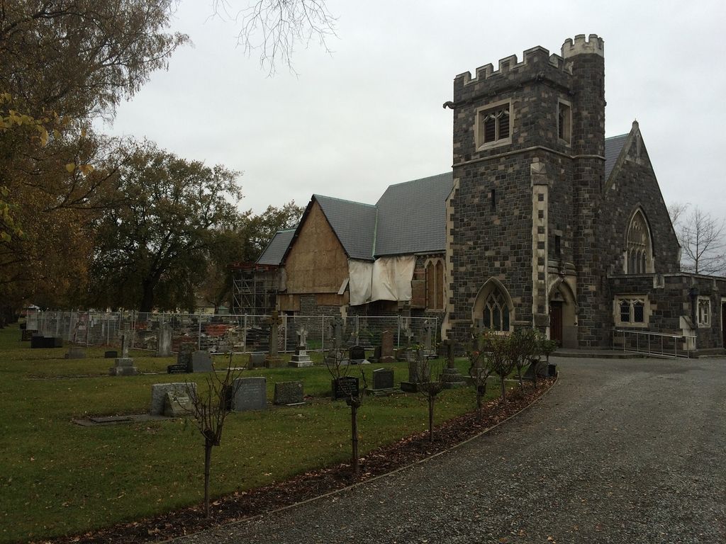
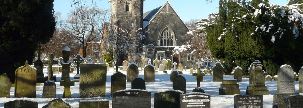
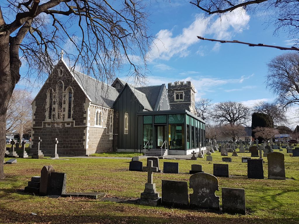
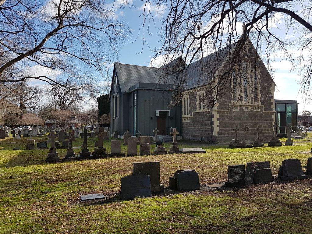
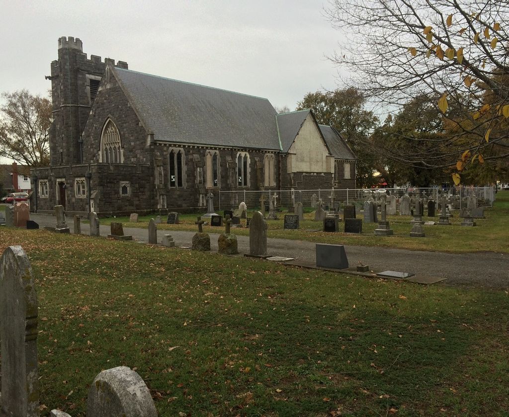
| Description | : | In 1851 G. A. Selwyn, Bishop of New Zealand, licensed Octavius Mathias, Vicar of St. Michael’s, to be in charge of Riccarton. In 1852, for 600 pounds, Mathias purchased Rural Section 160 covering 200 acres. He conveyed 20 acres to the Anglican Church for St. Peter’s church, a vicarage and a Sunday School. Land was reserved for a burial ground and glebe. The cemetery predated the parish. English cleric John Owen entrusted Mathias with money and Mathias leased the Desert Station on the Waimakariri. Owen sent his son out as manager but George, 16, drowned. On 27 January 1857, Mathias took... Read More |
frequently asked questions (FAQ):
-
Where is St Peter's Anglican Churchyard?
St Peter's Anglican Churchyard is located at 23 Yaldhurst Road Upper Riccarton, Christchurch City ,Canterbury , 8042New Zealand.
-
St Peter's Anglican Churchyard cemetery's updated grave count on graveviews.com?
732 memorials
-
Where are the coordinates of the St Peter's Anglican Churchyard?
Latitude: -43.5317570
Longitude: 172.5701330
Nearby Cemetories:
1. Avonhead Memorial Cemetery
Avonhead, Christchurch City, New Zealand
Coordinate: -43.5095390, 172.5503920
2. Mount Magdala Cemetery
Halswell, Christchurch City, New Zealand
Coordinate: -43.5622700, 172.5672600
3. Waimairi Cemetery
Burnside, Christchurch City, New Zealand
Coordinate: -43.4997760, 172.5773860
4. Addington Cemetery
Addington, Christchurch City, New Zealand
Coordinate: -43.5434880, 172.6235790
5. St Paul's Anglican Church Cemetery
Papanui, Christchurch City, New Zealand
Coordinate: -43.4966540, 172.6067210
6. St. Mary's Anglican Church Cemetery
Halswell, Christchurch City, New Zealand
Coordinate: -43.5794830, 172.5686440
7. Sydenham Cemetery
Sydenham, Christchurch City, New Zealand
Coordinate: -43.5582330, 172.6254900
8. St James Anglican Church
Harewood, Christchurch City, New Zealand
Coordinate: -43.4788400, 172.5579800
9. Blessed Sacrament Cathedral
Christchurch, Christchurch City, New Zealand
Coordinate: -43.5384250, 172.6458880
10. Barbadoes Street Cemetery
Christchurch, Christchurch City, New Zealand
Coordinate: -43.5230370, 172.6458760
11. All Saint's Churchyard
Prebbleton, Selwyn District, New Zealand
Coordinate: -43.5781040, 172.5131430
12. Avonside Anglican Cemetery
Avonside, Christchurch City, New Zealand
Coordinate: -43.5265780, 172.6585100
13. Harewood Memorial Gardens & Crematorium
Harewood, Christchurch City, New Zealand
Coordinate: -43.4642810, 172.5845430
14. Yaldhurst Cemetery
Yaldhurst, Christchurch City, New Zealand
Coordinate: -43.5109640, 172.4765980
15. Prebbleton Cemetery
Prebbleton, Selwyn District, New Zealand
Coordinate: -43.5887200, 172.5053500
16. St Saviours Churchyard
Templeton, Christchurch City, New Zealand
Coordinate: -43.5501420, 172.4714620
17. Shands Road Cemetery
Prebbleton, Selwyn District, New Zealand
Coordinate: -43.5792540, 172.4888630
18. Linwood Cemetery
Linwood, Christchurch City, New Zealand
Coordinate: -43.5299220, 172.6828180
19. Bromley Cemetery
Bromley, Christchurch City, New Zealand
Coordinate: -43.5384980, 172.6862960
20. Woolston Cemetery
Woolston, Christchurch City, New Zealand
Coordinate: -43.5559770, 172.6825880
21. Memorial Park Cemetery
Bromley, Christchurch City, New Zealand
Coordinate: -43.5291840, 172.6877410
22. Canterbury Provincial Memorial
Bromley, Christchurch City, New Zealand
Coordinate: -43.5329620, 172.6896830
23. Canterbury Memorial Gardens and Crematorium
Bromley, Christchurch City, New Zealand
Coordinate: -43.5420790, 172.6893340
24. Ruru Lawn Cemetery
Bromley, Christchurch City, New Zealand
Coordinate: -43.5322470, 172.6918010