
| Memorials | : | 0 |
| Location | : | Wilburton, East Cambridgeshire District, England |
| Coordinate | : | 52.3528000, 0.1712800 |
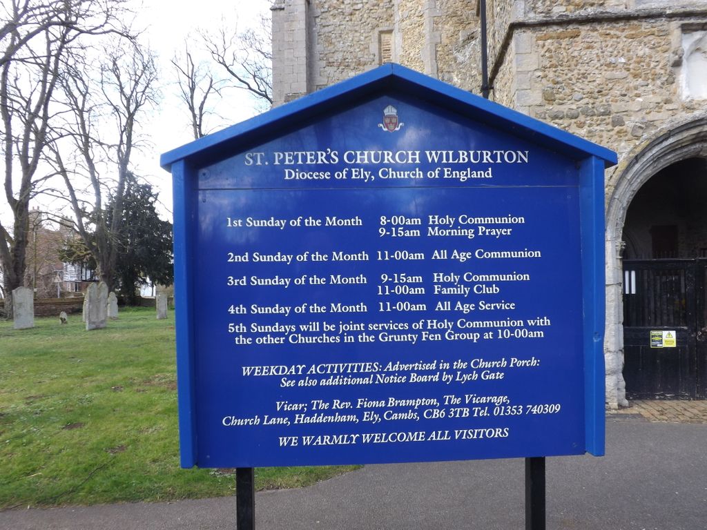
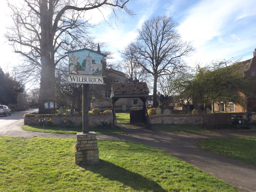
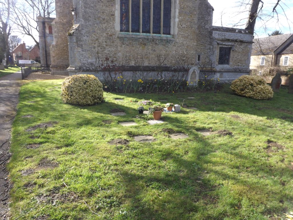
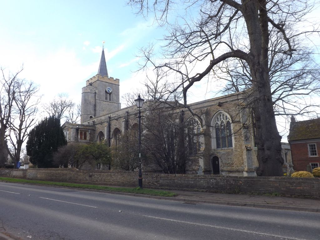
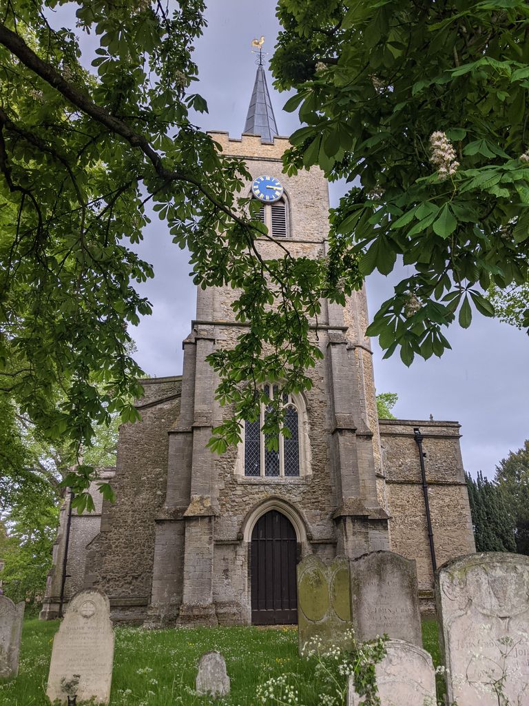
| Description | : | St Peter's is an island church, on High Street and Church Lane.Wilburton is a small village situated in Cambridgeshire. It is approximately 6 miles south west of Ely. It is on the important medieval route from Earith to Stretham, and extending south to the River Great Ouse. As much of the land in the region is fenland, the village’s position on the ridge between Stretham and Haddenham at the southern end of the Isle of Ely was important in its growth and success. Listed as Wilburhtun in 970 and Wilbertone in the Domesday Book, the name “Wilburton” means “Farmstead or village of... Read More |
frequently asked questions (FAQ):
-
Where is St. Peter's Churchyard?
St. Peter's Churchyard is located at High Street/Church Lane Wilburton, East Cambridgeshire District ,Cambridgeshire , CB6 3RQEngland.
-
St. Peter's Churchyard cemetery's updated grave count on graveviews.com?
0 memorials
-
Where are the coordinates of the St. Peter's Churchyard?
Latitude: 52.3528000
Longitude: 0.1712800
Nearby Cemetories:
1. Wilburton Cemetery
Wilburton, East Cambridgeshire District, England
Coordinate: 52.3525000, 0.1694500
2. Haddenham Cemetery
Haddenham, East Cambridgeshire District, England
Coordinate: 52.3589600, 0.1519500
3. Holy Trinity Churchyard
Haddenham, East Cambridgeshire District, England
Coordinate: 52.3592350, 0.1482920
4. Dissenters' Graveyard
Haddenham, East Cambridgeshire District, England
Coordinate: 52.3582900, 0.1470200
5. Haddenham Closed Cemetery
Haddenham, East Cambridgeshire District, England
Coordinate: 52.3592500, 0.1465100
6. St. James Churchyard
Stretham, East Cambridgeshire District, England
Coordinate: 52.3487070, 0.2186110
7. St. Peter's Churchyard
Wentworth, East Cambridgeshire District, England
Coordinate: 52.3851271, 0.1741611
8. Stretham Cemetery
Stretham, East Cambridgeshire District, England
Coordinate: 52.3500011, 0.2241533
9. St. Andrew's Churchyard
Witchford, East Cambridgeshire District, England
Coordinate: 52.3866200, 0.2083300
10. St. Andrew's Churchyard
Sutton, East Cambridgeshire District, England
Coordinate: 52.3899851, 0.1261606
11. Little Thetford Cemetery
Little Thetford, East Cambridgeshire District, England
Coordinate: 52.3660355, 0.2444110
12. Witcham Village Cemetery
Witcham, East Cambridgeshire District, England
Coordinate: 52.4015837, 0.1476457
13. All Saints Churchyard
Cottenham, South Cambridgeshire District, England
Coordinate: 52.2965320, 0.1322440
14. St. Mary Churchyard
Mepal, East Cambridgeshire District, England
Coordinate: 52.4087700, 0.1159990
15. St. Peter ad Vincula Churchyard
Coveney, East Cambridgeshire District, England
Coordinate: 52.4173217, 0.1889106
16. St Mary Churchyard
Ely, East Cambridgeshire District, England
Coordinate: 52.3985600, 0.2596250
17. Ely Cathedral
Ely, East Cambridgeshire District, England
Coordinate: 52.3985443, 0.2637040
18. Cottenham Dissenters Cemetery
Cottenham, South Cambridgeshire District, England
Coordinate: 52.2868100, 0.1201200
19. All Saints Churchyard
Rampton, South Cambridgeshire District, England
Coordinate: 52.2924430, 0.0934033
20. All Saints Churchyard
Rampton, South Cambridgeshire District, England
Coordinate: 52.2922100, 0.0929300
21. Waterbeach Cemetery
Waterbeach, South Cambridgeshire District, England
Coordinate: 52.2735800, 0.1888600
22. City of Ely Cemetery
Ely, East Cambridgeshire District, England
Coordinate: 52.4037130, 0.2731480
23. All Saints Churchyard
Landbeach, South Cambridgeshire District, England
Coordinate: 52.2664100, 0.1623000
24. Waterbeach Baptist Church
Waterbeach, South Cambridgeshire District, England
Coordinate: 52.2652204, 0.1913064