
| Memorials | : | 0 |
| Location | : | Mepal, East Cambridgeshire District, England |
| Coordinate | : | 52.4087700, 0.1159990 |
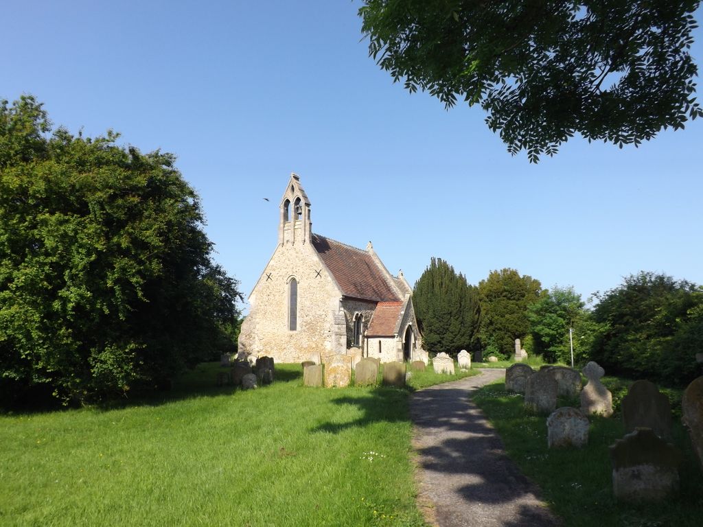
| Description | : | Mepal [pronounced miːpəl] is a village in Cambridgeshire, England, part of the East Cambridgeshire district, and is located just north of the A142 road between Ely and Chatteris. Listed as Mepahala at the start of the 13th century, the village's name means "Nook of land of a man called Meapa. First recorded at the start of the 13th century Mepal's history has always been tied up with that of The Fens being less than ten metres above sea level. One of the smaller villages of the Isle of Ely, Mepal lies at the western end of the Isle on what was... Read More |
frequently asked questions (FAQ):
-
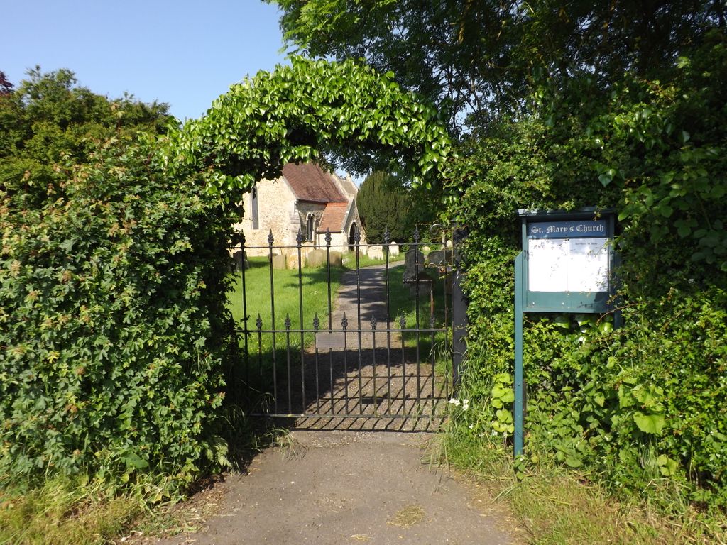
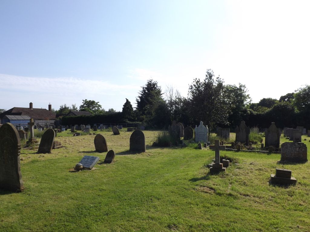
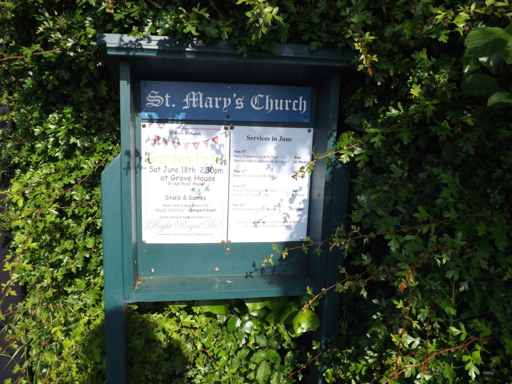
Where is St. Mary Churchyard?
St. Mary Churchyard is located at Mepal, East Cambridgeshire District ,Cambridgeshire ,England.
-
St. Mary Churchyard cemetery's updated grave count on graveviews.com?
0 memorials
-
Where are the coordinates of the St. Mary Churchyard?
Latitude: 52.4087700
Longitude: 0.1159990
Nearby Cemetories:
1. St. Andrew's Churchyard
Sutton, East Cambridgeshire District, England
Coordinate: 52.3899851, 0.1261606
2. Witcham Village Cemetery
Witcham, East Cambridgeshire District, England
Coordinate: 52.4015837, 0.1476457
3. St. Peter's Churchyard
Wentworth, East Cambridgeshire District, England
Coordinate: 52.3851271, 0.1741611
4. St. Peter ad Vincula Churchyard
Coveney, East Cambridgeshire District, England
Coordinate: 52.4173217, 0.1889106
5. Haddenham Closed Cemetery
Haddenham, East Cambridgeshire District, England
Coordinate: 52.3592500, 0.1465100
6. Holy Trinity Churchyard
Haddenham, East Cambridgeshire District, England
Coordinate: 52.3592350, 0.1482920
7. Dissenters' Graveyard
Haddenham, East Cambridgeshire District, England
Coordinate: 52.3582900, 0.1470200
8. Haddenham Cemetery
Haddenham, East Cambridgeshire District, England
Coordinate: 52.3589600, 0.1519500
9. Parochial Cemetery
Chatteris, Fenland District, England
Coordinate: 52.4571990, 0.0582040
10. St. Andrew's Churchyard
Witchford, East Cambridgeshire District, England
Coordinate: 52.3866200, 0.2083300
11. St. Peter & St. Paul Churchyard
Chatteris, Fenland District, England
Coordinate: 52.4547000, 0.0510900
12. Meeks Cemetery
Chatteris, Fenland District, England
Coordinate: 52.4579050, 0.0530000
13. Wilburton Cemetery
Wilburton, East Cambridgeshire District, England
Coordinate: 52.3525000, 0.1694500
14. St. Peter's Churchyard
Wilburton, East Cambridgeshire District, England
Coordinate: 52.3528000, 0.1712800
15. Graveyard of St. Helen's Old Church
Colne, Huntingdonshire District, England
Coordinate: 52.3661989, 0.0058234
16. St. Nicholas' Churchyard
Manea, Fenland District, England
Coordinate: 52.4813910, 0.1737894
17. St. Leonard Church Cemetery
Little Downham, East Cambridgeshire District, England
Coordinate: 52.4346700, 0.2475600
18. St. Mary's Churchyard
Bluntisham, Huntingdonshire District, England
Coordinate: 52.3510300, 0.0135590
19. St. James Churchyard
Stretham, East Cambridgeshire District, England
Coordinate: 52.3487070, 0.2186110
20. Baptist Church Cemetery
Bluntisham, Huntingdonshire District, England
Coordinate: 52.3525450, 0.0075530
21. St Mary Churchyard
Ely, East Cambridgeshire District, England
Coordinate: 52.3985600, 0.2596250
22. Stretham Cemetery
Stretham, East Cambridgeshire District, England
Coordinate: 52.3500011, 0.2241533
23. Little Thetford Cemetery
Little Thetford, East Cambridgeshire District, England
Coordinate: 52.3660355, 0.2444110
24. Ely Cathedral
Ely, East Cambridgeshire District, England
Coordinate: 52.3985443, 0.2637040