
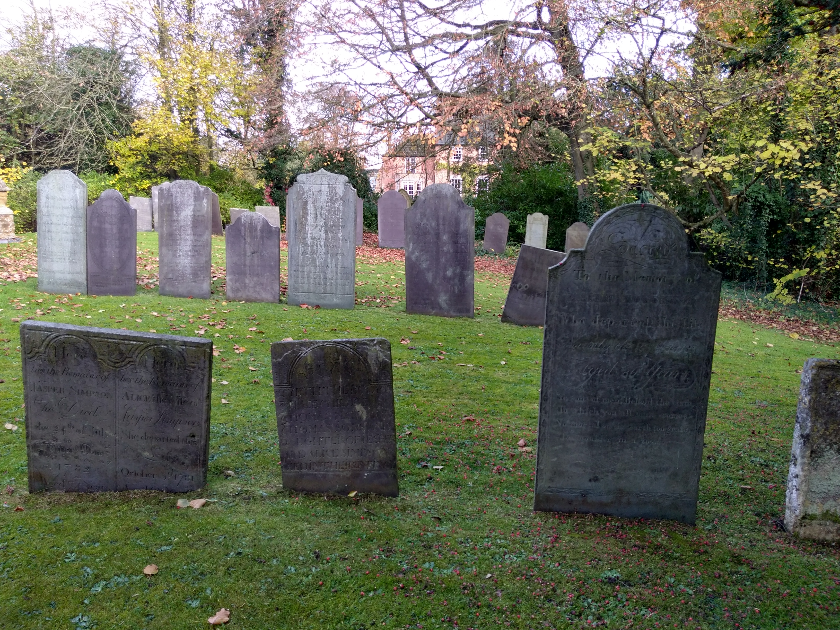
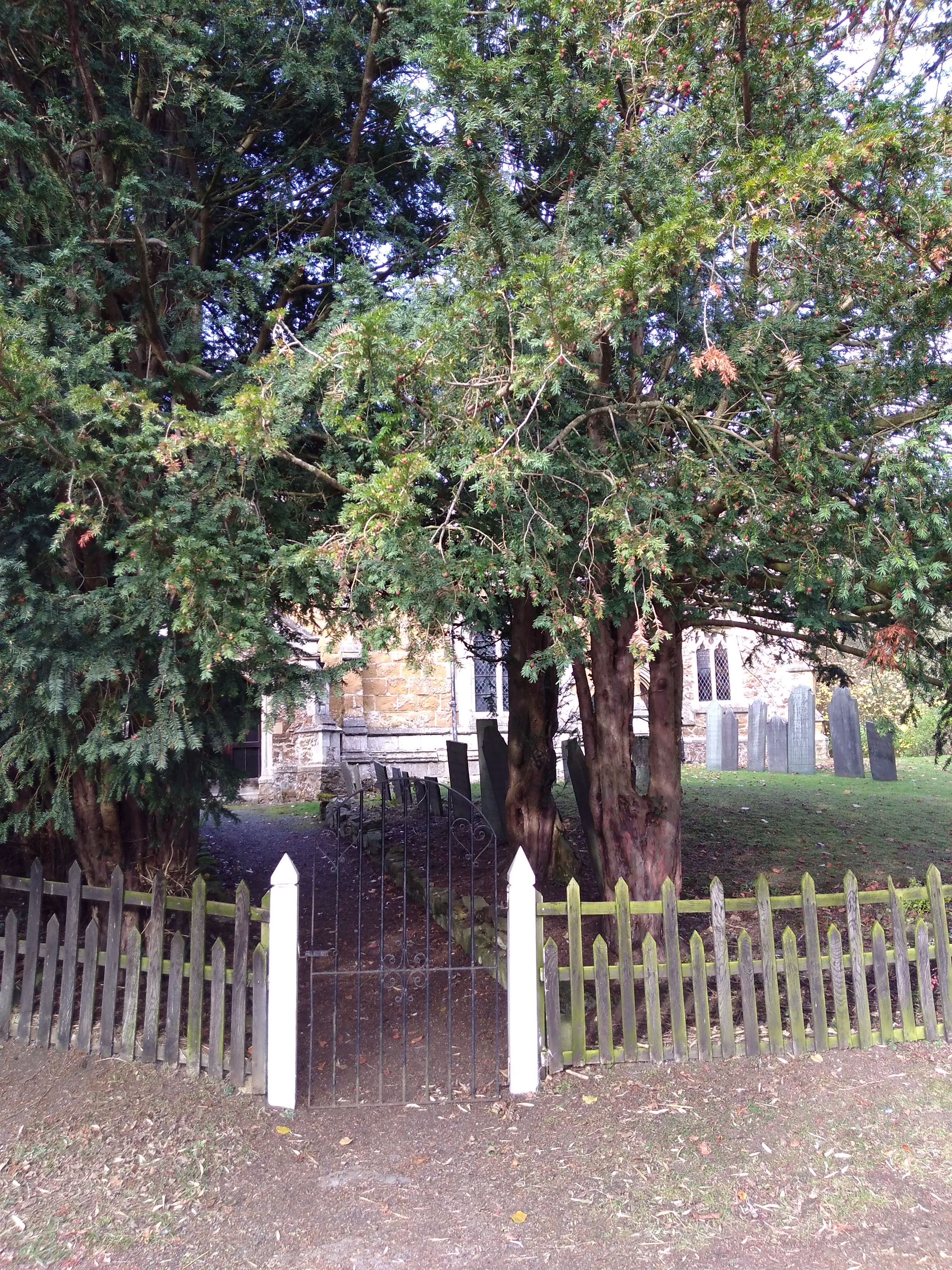
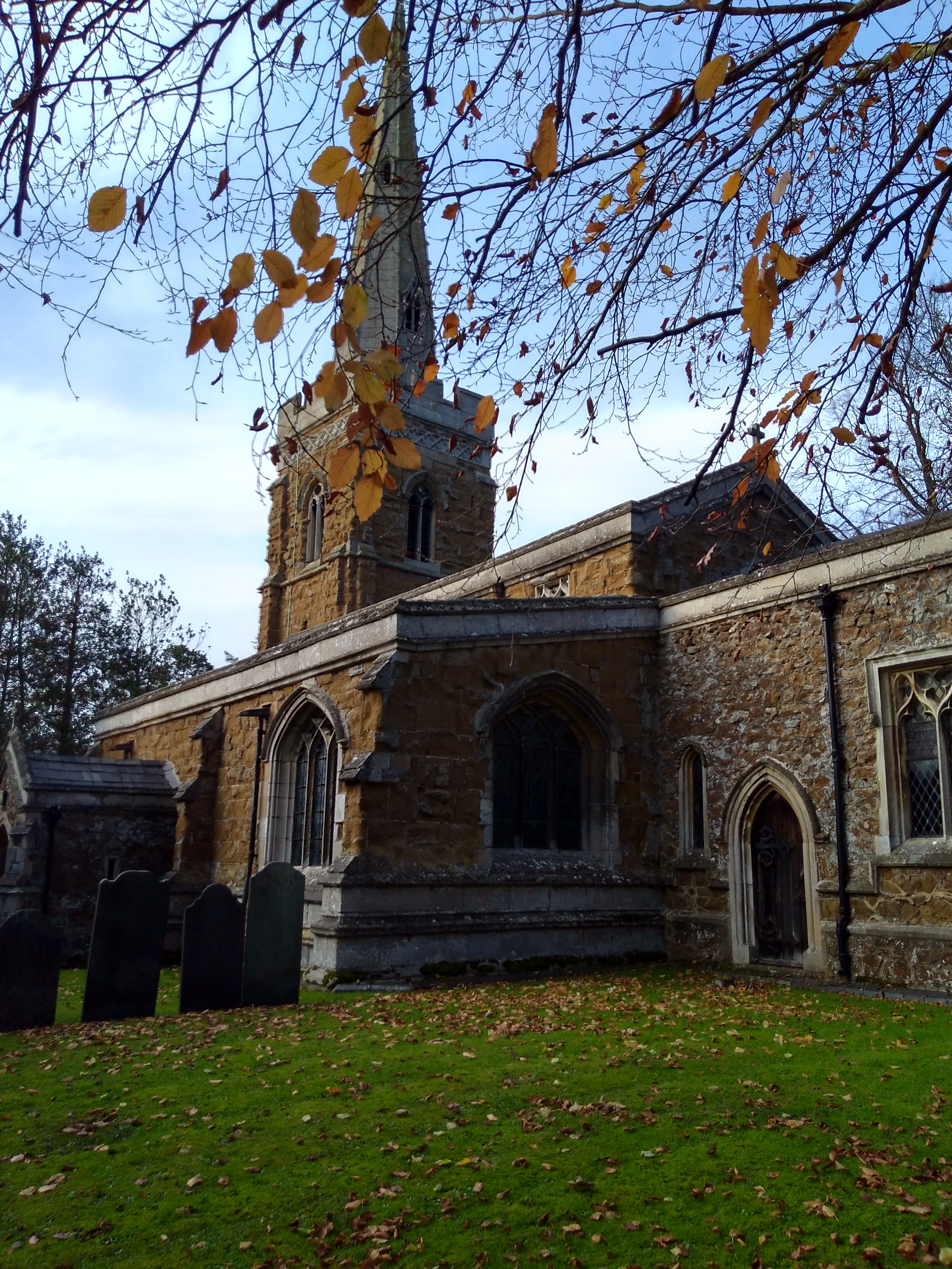
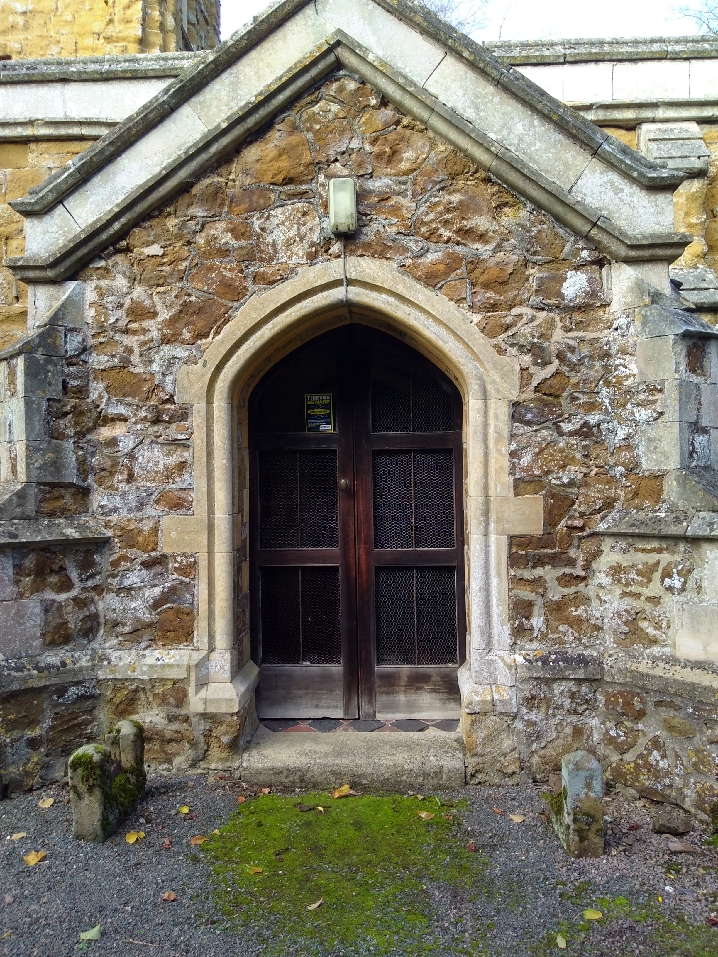
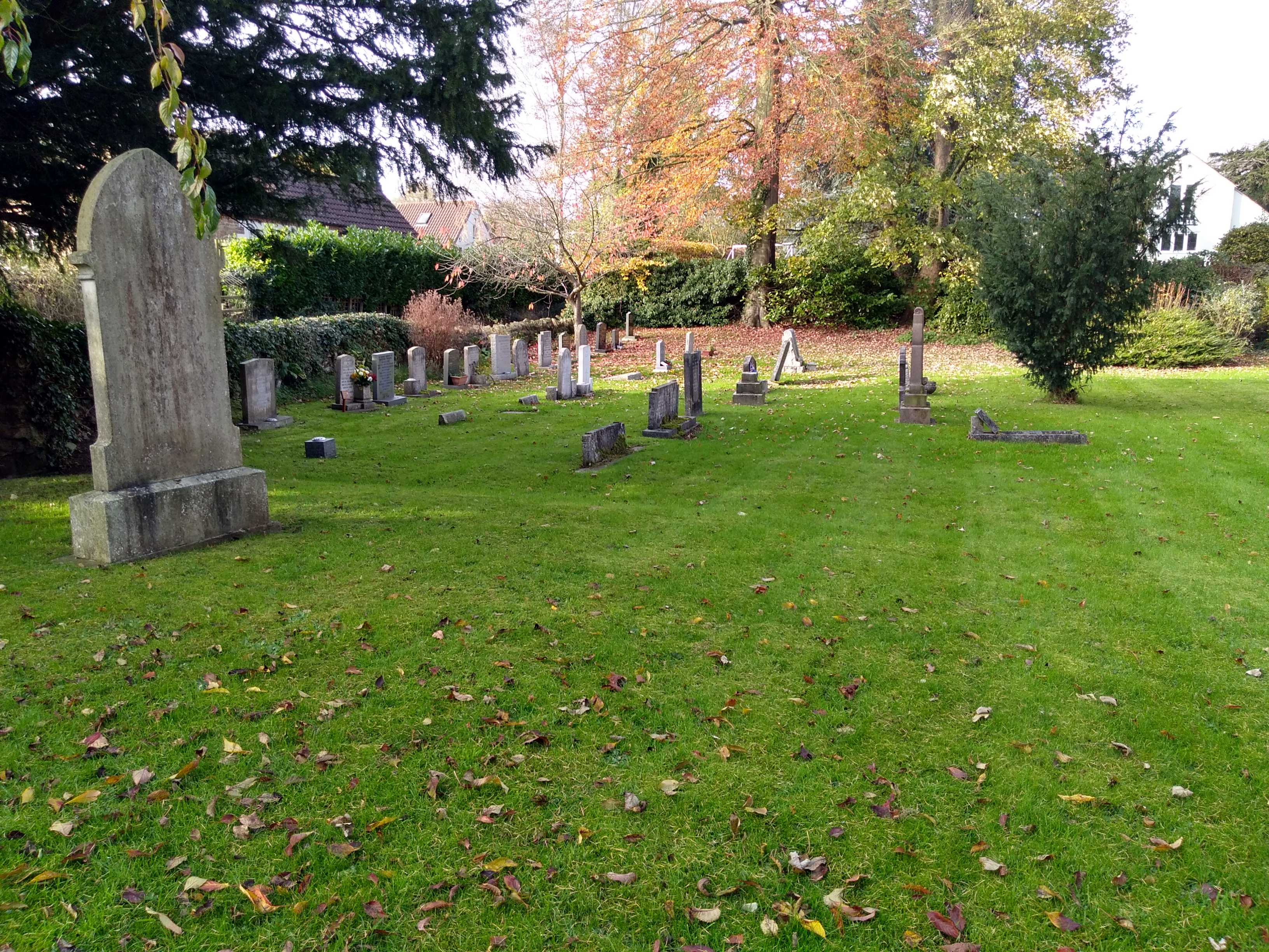
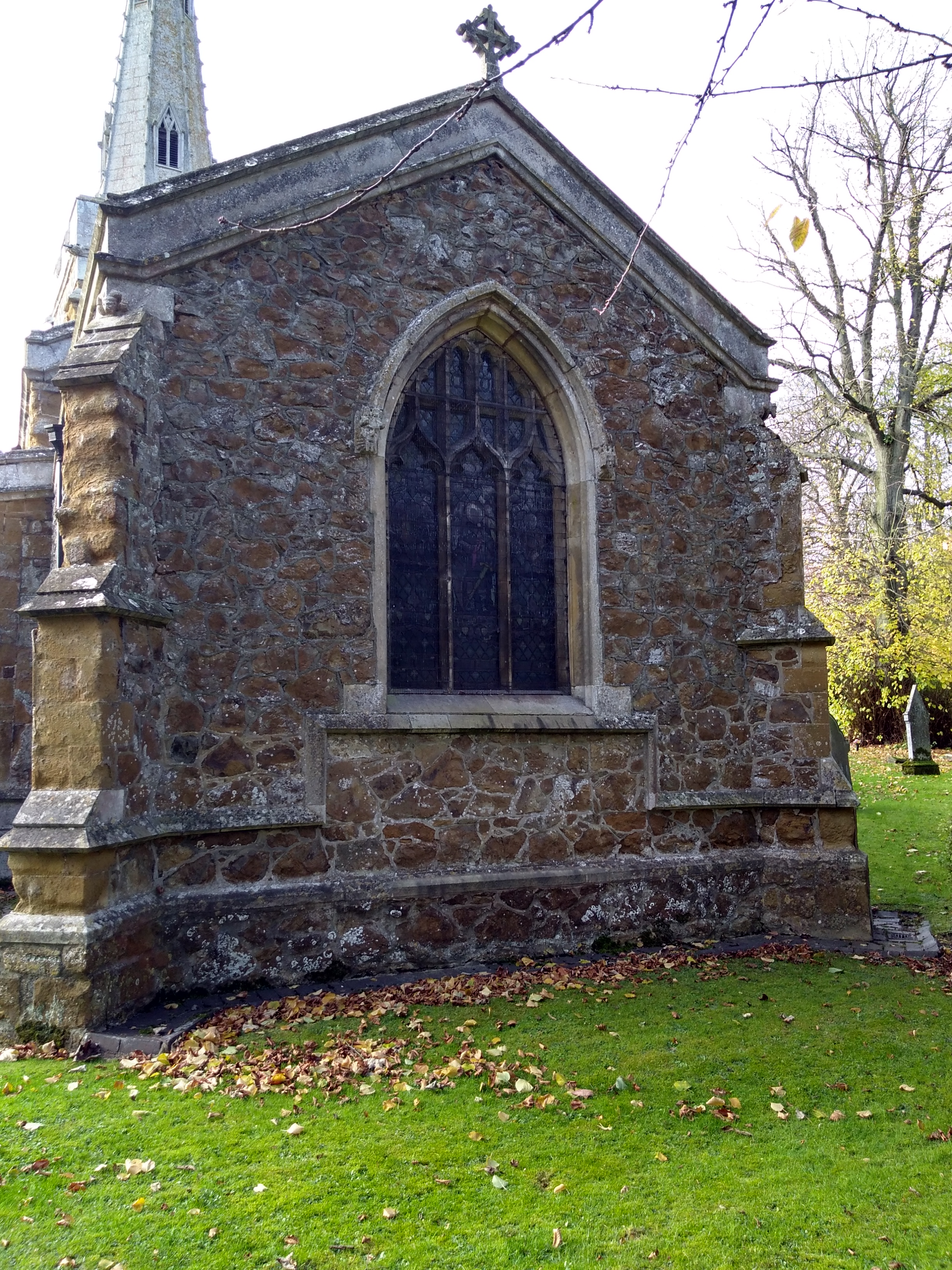
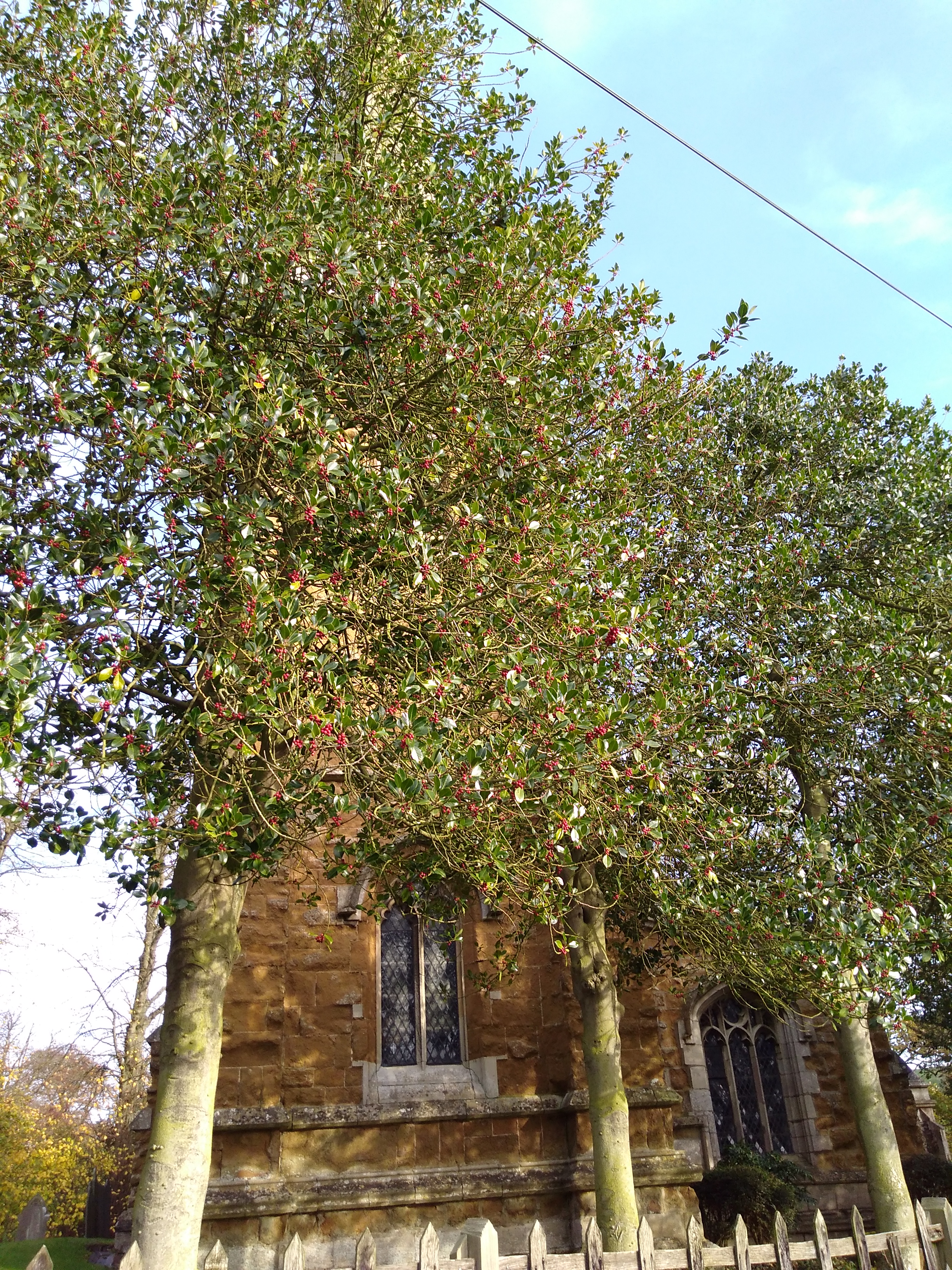
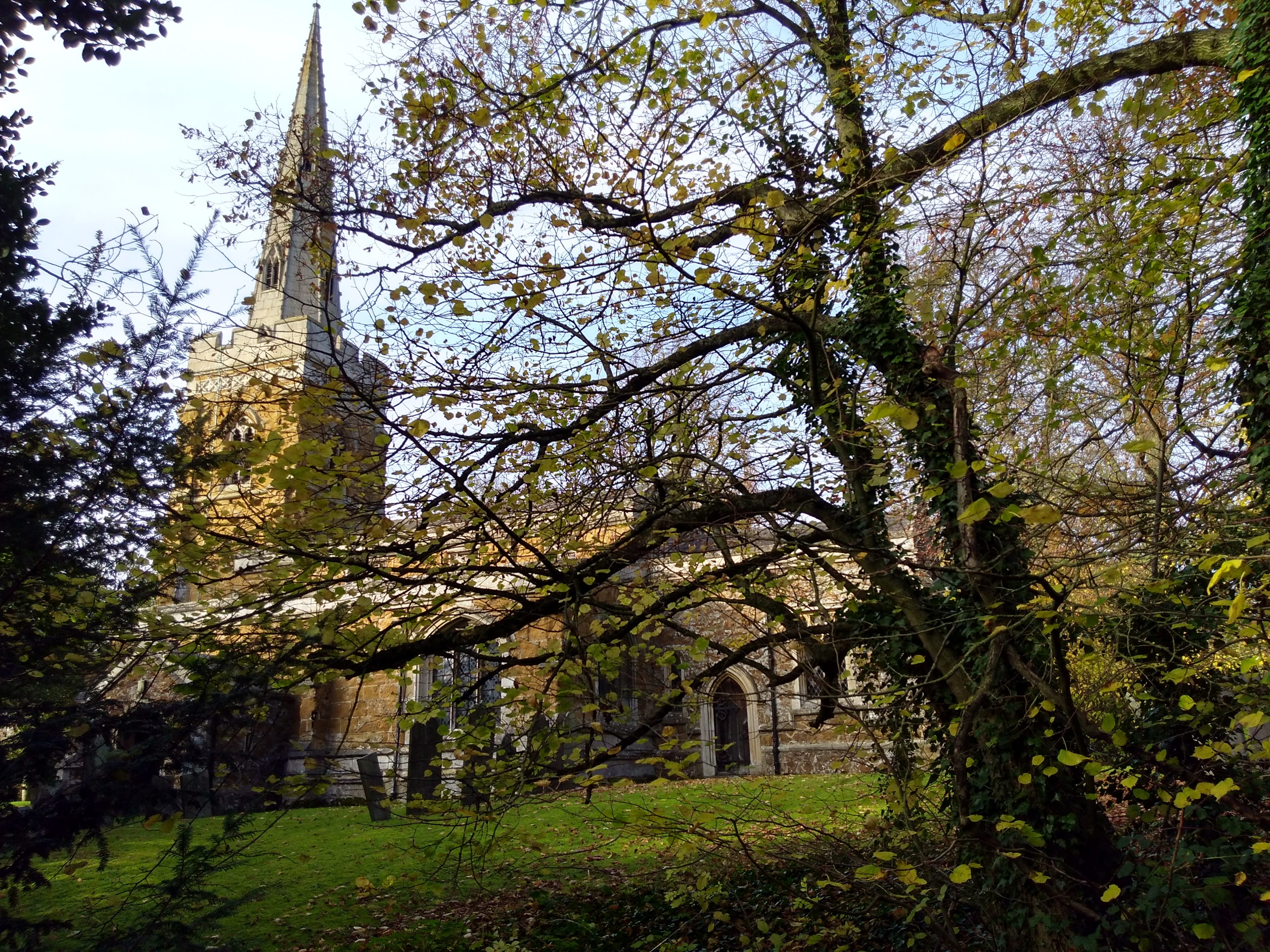
| Memorials | : | 100 |
| Location | : | Saxelbye, Melton Borough, England |
| Coordinate | : | 52.7817900, -0.9626700 |
frequently asked questions (FAQ):
-
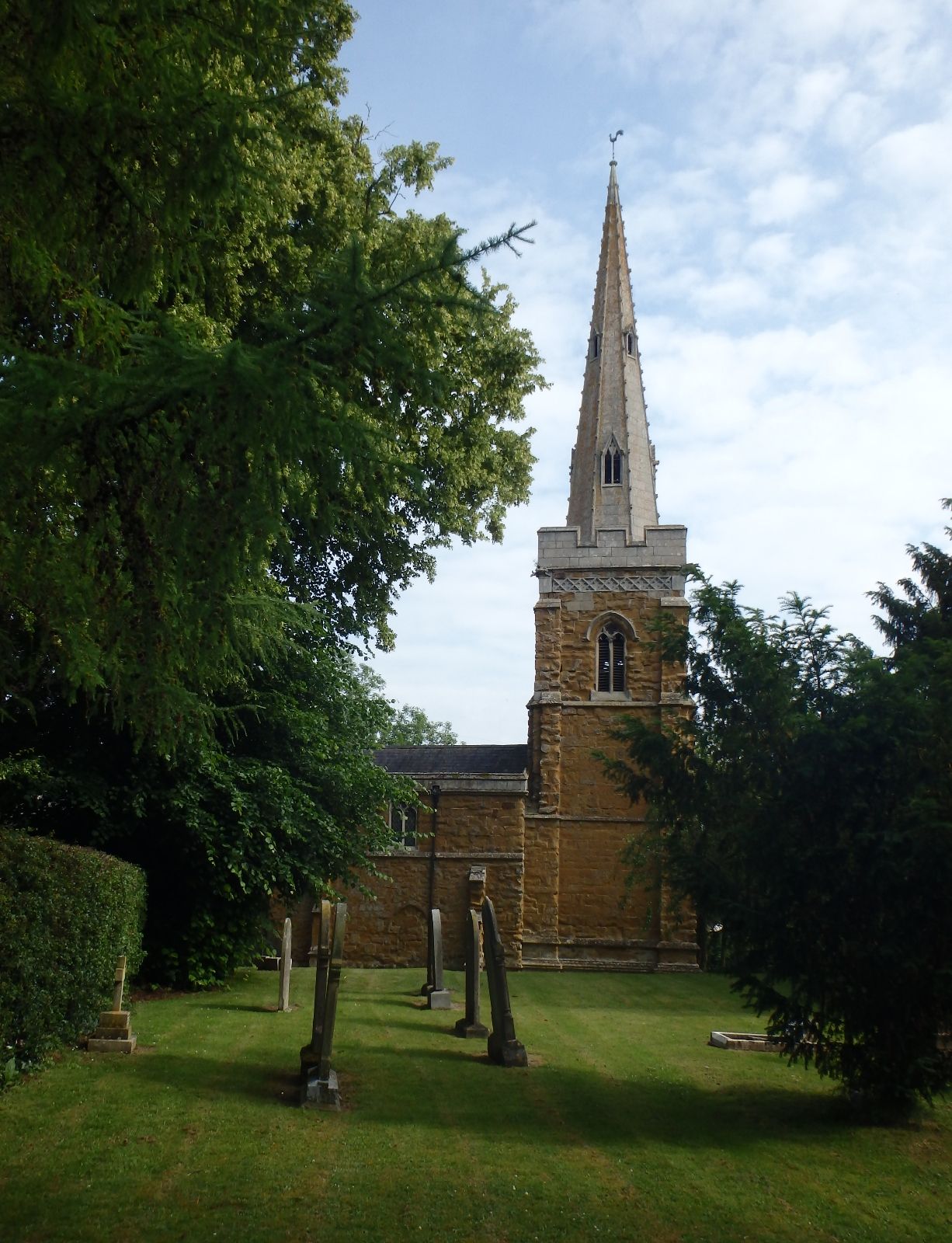
Where is St Peter's Churchyard?
St Peter's Churchyard is located at Saxelbye, Melton Borough ,Leicestershire ,England.
-
St Peter's Churchyard cemetery's updated grave count on graveviews.com?
1 memorials
-
Where are the coordinates of the St Peter's Churchyard?
Latitude: 52.7817900
Longitude: -0.9626700
Nearby Cemetories:
1. St John the Baptist Churchyard
Grimston, Melton Borough, England
Coordinate: 52.7902720, -0.9850350
2. Asfordby Loughborough Road Cemetery
Asfordby, Melton Borough, England
Coordinate: 52.7654300, -0.9626900
3. All Saints Churchyard
Asfordby, Melton Borough, England
Coordinate: 52.7635100, -0.9523300
4. St. Bartolomew's Churchyard, Welby
Melton Mowbray, Melton Borough, England
Coordinate: 52.7814860, -0.9263090
5. St. Michael's Churchyard
Wartnaby, Melton Borough, England
Coordinate: 52.8012220, -0.9447660
6. St James Churchyard
Ab Kettleby, Melton Borough, England
Coordinate: 52.7985680, -0.9273270
7. St Thomas of Canterbury Churchyard Extension
Frisby on the Wreake, Melton Borough, England
Coordinate: 52.7537270, -0.9698390
8. St Peter Churchyard
Kirby Bellars, Melton Borough, England
Coordinate: 52.7569830, -0.9376920
9. St Thomas of Canterbury Churchyard
Frisby on the Wreake, Melton Borough, England
Coordinate: 52.7531250, -0.9706940
10. St John the Baptist Churchyard
Old Dalby, Melton Borough, England
Coordinate: 52.8053510, -1.0017970
11. Old Dalby Main Road Cemetery
Old Dalby, Melton Borough, England
Coordinate: 52.8084650, -1.0007670
12. Frisby on the Wreake Parish Council Burial Ground
Frisby on the Wreake, Melton Borough, England
Coordinate: 52.7480480, -0.9801370
13. All Saints Church
Melton Borough, England
Coordinate: 52.7728570, -1.0209240
14. All Saints Churchyard
Melton Mowbray, Melton Borough, England
Coordinate: 52.7728700, -1.0209400
15. St. Leonards Churchyard Sysonby
Melton Mowbray, Melton Borough, England
Coordinate: 52.7633900, -0.9076000
16. Grange Lane Churchyard Extension, Sysonby
Melton Mowbray, Melton Borough, England
Coordinate: 52.7627410, -0.9077140
17. All Saints Churchyard
Hoby, Melton Borough, England
Coordinate: 52.7496100, -1.0101660
18. All Saints Churchyard
Rotherby, Melton Borough, England
Coordinate: 52.7423100, -1.0013400
19. St Mary the Virgin Churchyard
Nether Broughton, Melton Borough, England
Coordinate: 52.8289780, -0.9687040
20. Melton Mowbray Old Cemetery
Melton Mowbray, Melton Borough, England
Coordinate: 52.7662520, -0.8859770
21. St Luke's Churchyard
Upper Broughton, Rushcliffe Borough, England
Coordinate: 52.8293700, -0.9870900
22. St Mary Churchyard
Melton Mowbray, Melton Borough, England
Coordinate: 52.7635680, -0.8858380
23. St Michael and All Angels Churchyard, Brooksby Hall
Melton Mowbray, Melton Borough, England
Coordinate: 52.7375450, -1.0076900
24. St. John the Baptist Catholic Churchyard
Melton Mowbray, Melton Borough, England
Coordinate: 52.7648338, -0.8812819