
| Memorials | : | 7 |
| Location | : | Asterby, East Lindsey District, England |
| Coordinate | : | 53.2975600, -0.1050000 |
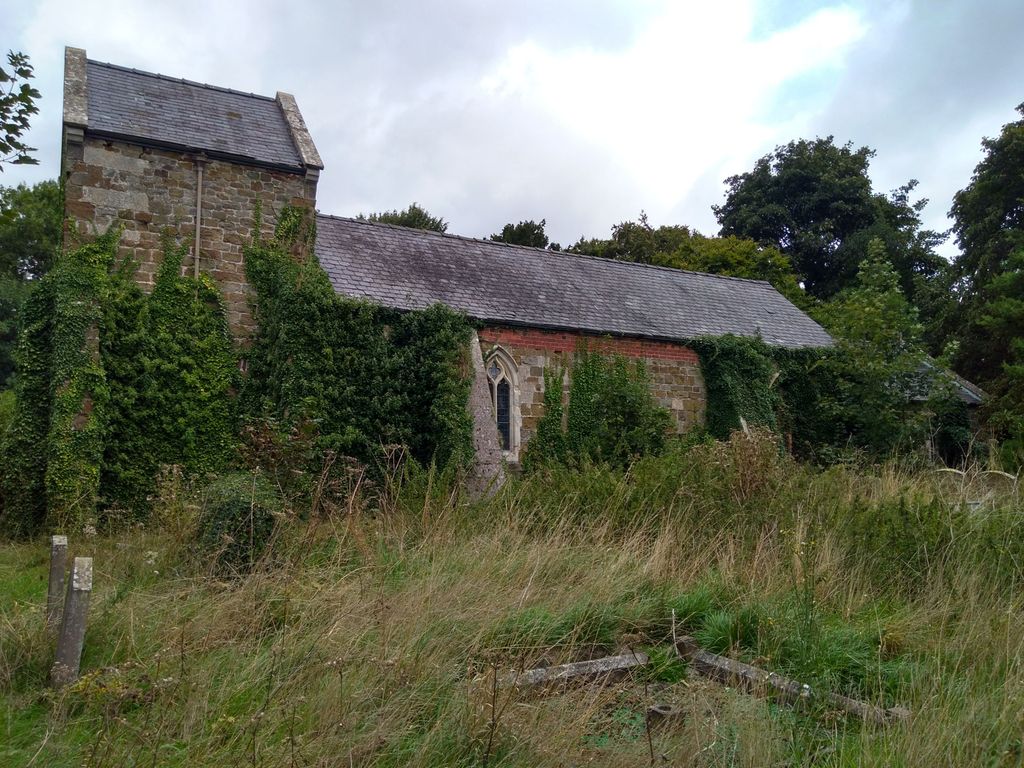
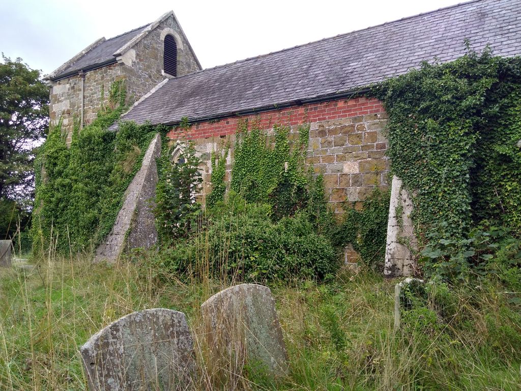
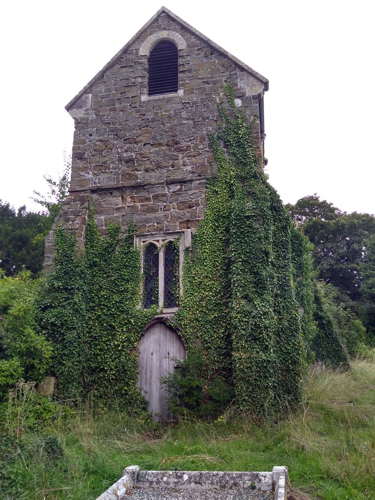
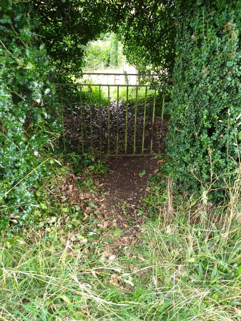
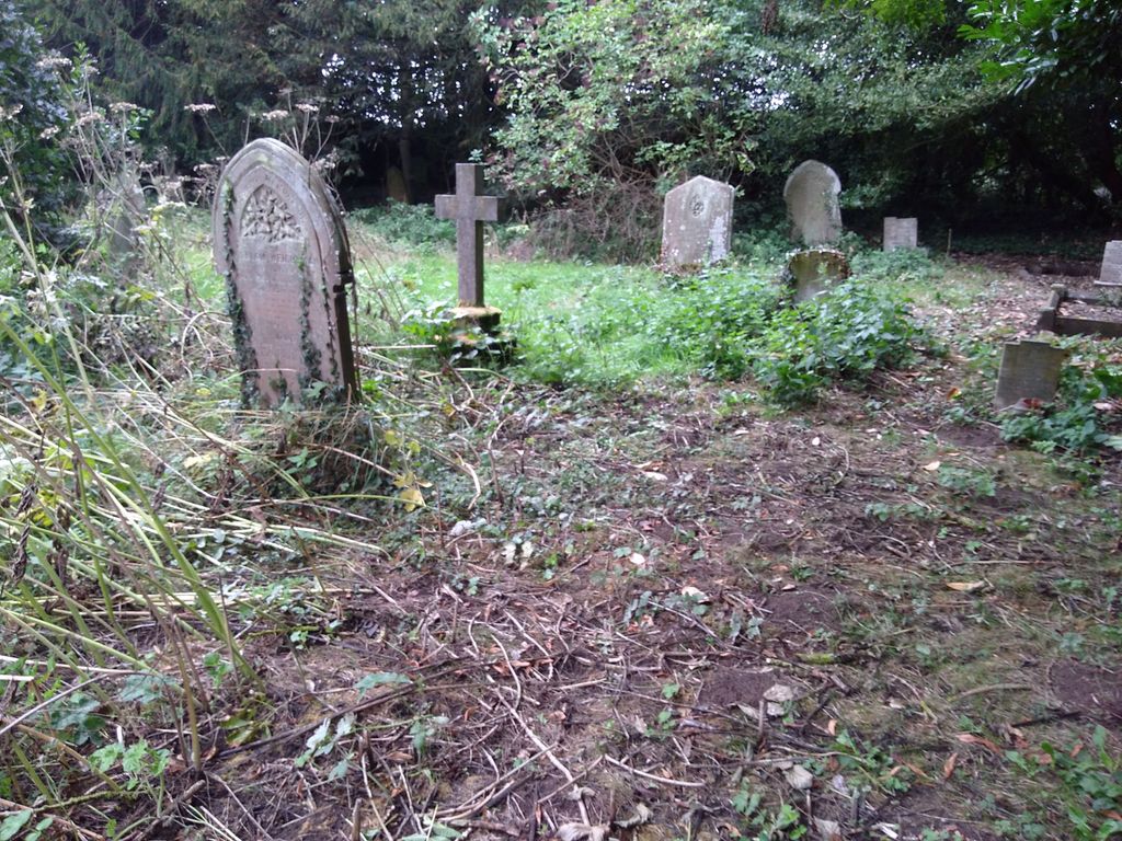
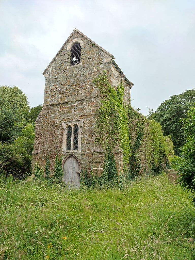
| Description | : | Asterby church, which was dedicated to St Peter, is no longer open to the public, having been sold into private ownership. The churchyard burial ground is open to the public, and is used for local burials. It dates from the 14th century, with alterations around 1900 by W. Mortimer and Son |
frequently asked questions (FAQ):
-
Where is St. Peter's Churchyard?
St. Peter's Churchyard is located at Asterby End Asterby, East Lindsey District ,Lincolnshire , LN11 9UFEngland.
-
St. Peter's Churchyard cemetery's updated grave count on graveviews.com?
7 memorials
-
Where are the coordinates of the St. Peter's Churchyard?
Latitude: 53.2975600
Longitude: -0.1050000
Nearby Cemetories:
1. All Saints Old Churchyard
Goulceby, East Lindsey District, England
Coordinate: 53.2976700, -0.1228900
2. All Saints Churchyard
Goulceby, East Lindsey District, England
Coordinate: 53.2976400, -0.1229300
3. Station Road Cemetery
Donington on Bain, East Lindsey District, England
Coordinate: 53.3270700, -0.1429600
4. St. Andrew's Churchyard
Donington on Bain, East Lindsey District, England
Coordinate: 53.3294810, -0.1475658
5. St. Peter and St. Paul's Churchyard
Belchford, East Lindsey District, England
Coordinate: 53.2599830, -0.0616480
6. All Saints Churchyard
Great Sturton, East Lindsey District, England
Coordinate: 53.2730000, -0.1789600
7. St. Margaret's Churchyard
Hemingby, East Lindsey District, England
Coordinate: 53.2524100, -0.1469300
8. All Saints Churchyard
Legbourne, East Lindsey District, England
Coordinate: 53.3390478, -0.0525820
9. St. Julian's Churchyard
Benniworth, East Lindsey District, England
Coordinate: 53.3192500, -0.1859000
10. St. Helen's Churchyard
Biscathorpe, East Lindsey District, England
Coordinate: 53.3464850, -0.1538460
11. St. Helen's Churchyard
Louth, East Lindsey District, England
Coordinate: 53.3464700, -0.1539300
12. St. Swithin's Churchyard
Baumber, East Lindsey District, England
Coordinate: 53.2530300, -0.1699400
13. St. Peter's Churchyard
Gayton le Wold, East Lindsey District, England
Coordinate: 53.3562320, -0.1431270
14. St. Andrew's Churchyard
Fulletby, East Lindsey District, England
Coordinate: 53.2416800, -0.0560500
15. All Saints Churchyard
Haugham, East Lindsey District, England
Coordinate: 53.3127100, 0.0033400
16. St. Helen Churchyard
Burgh on Bain, East Lindsey District, England
Coordinate: 53.3604060, -0.1644810
17. St. Helen's Churchyard
Edlington, East Lindsey District, England
Coordinate: 53.2260200, -0.1536400
18. St. Stephen's Churchyard
Hatton, East Lindsey District, England
Coordinate: 53.2758321, -0.2357834
19. St Peters Churchyard
Low Toynton, East Lindsey District, England
Coordinate: 53.2166100, -0.0914000
20. St. Michael's Churchyard
Burwell, East Lindsey District, England
Coordinate: 53.2968800, 0.0325800
21. St. Mary's Churchyard
Hainton, East Lindsey District, England
Coordinate: 53.3433440, -0.2290450
22. Louth Cemetery
Louth, East Lindsey District, England
Coordinate: 53.3604820, -0.0038070
23. All Saints Churchyard
Greetham with Somersby, East Lindsey District, England
Coordinate: 53.2185110, -0.0418221
24. St. Mary's Churchyard
East Barkwith, East Lindsey District, England
Coordinate: 53.3175900, -0.2514400