
| Memorials | : | 224 |
| Location | : | Hainton, East Lindsey District, England |
| Coordinate | : | 53.3433440, -0.2290450 |
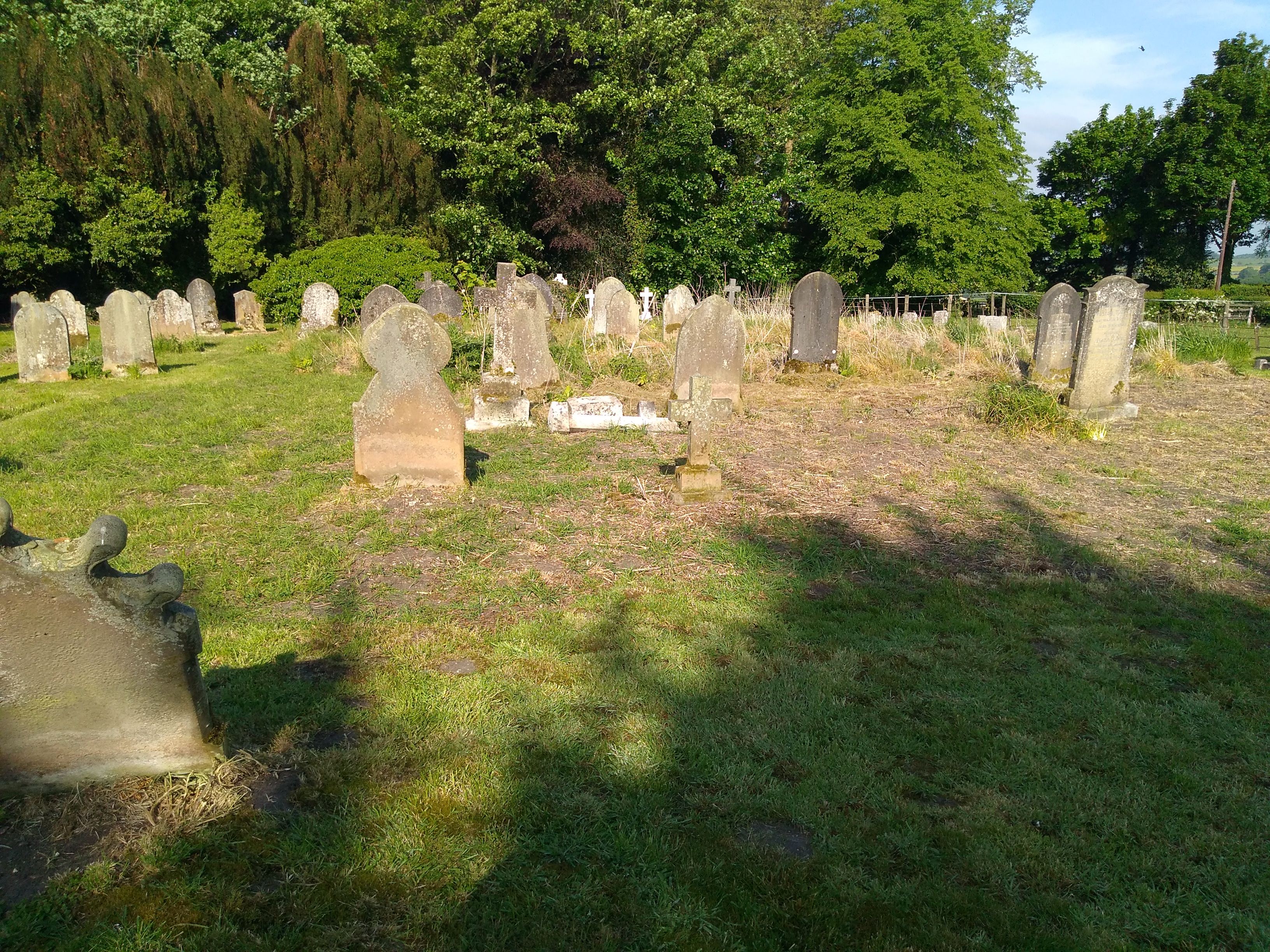
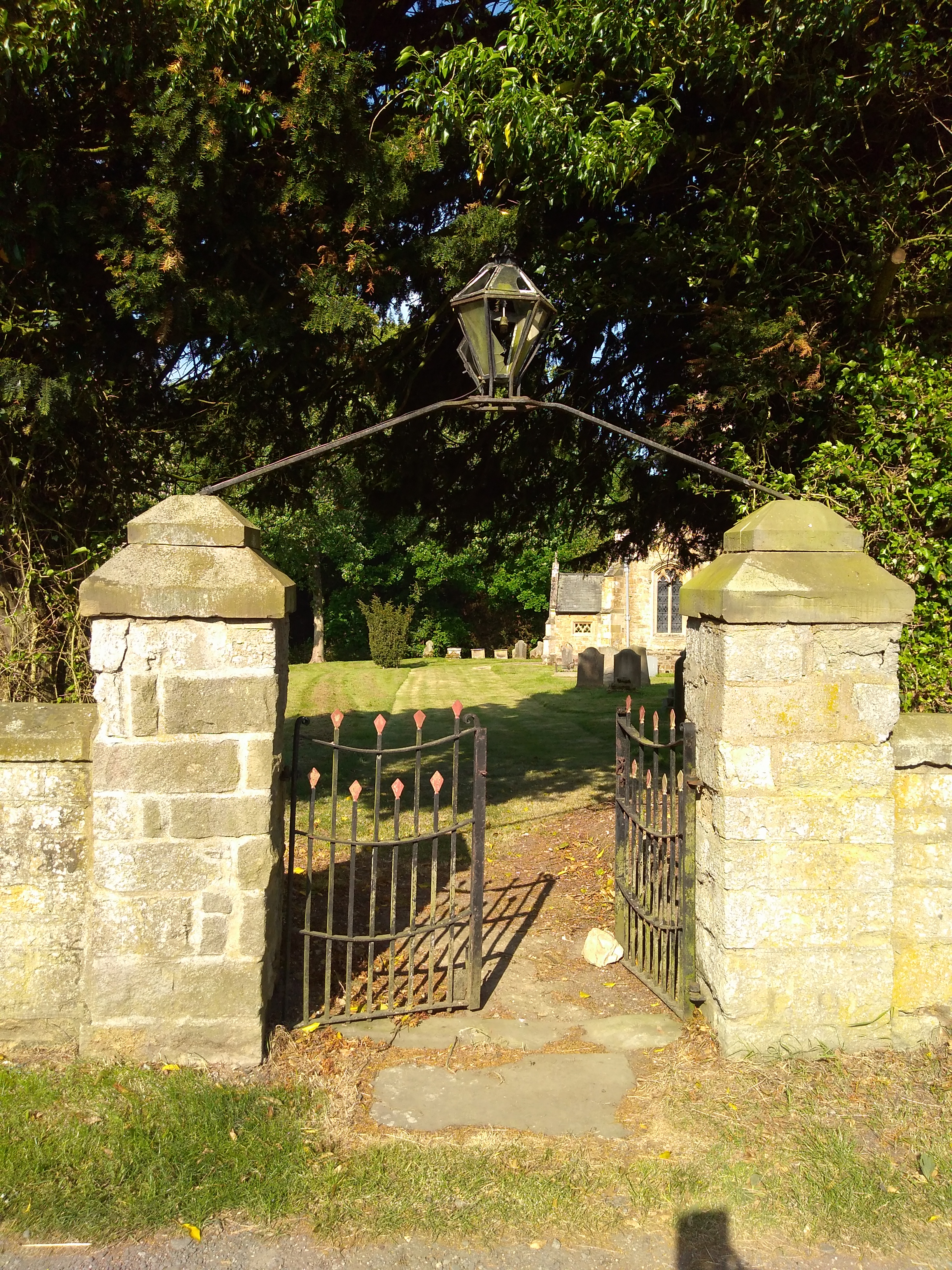
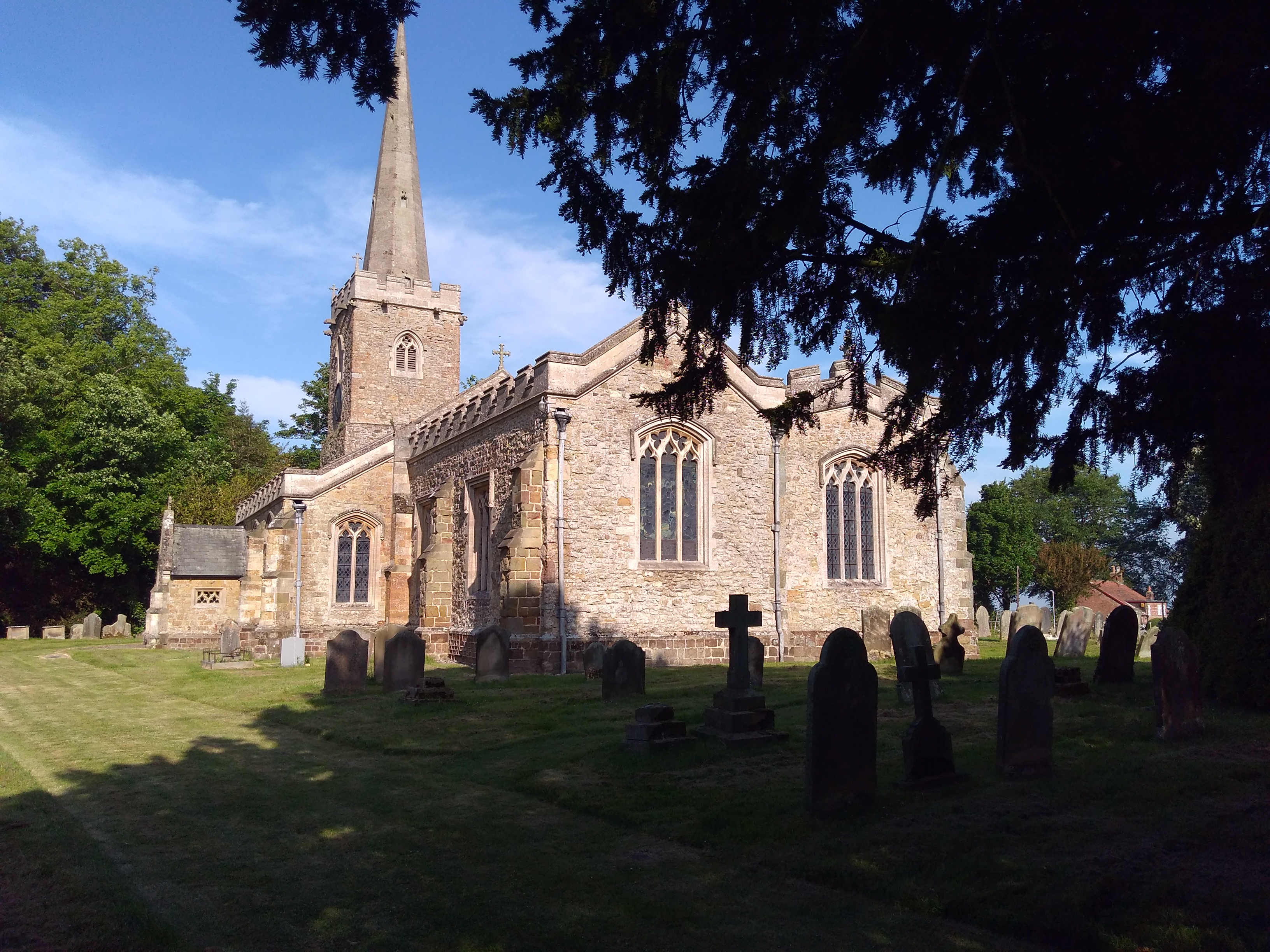
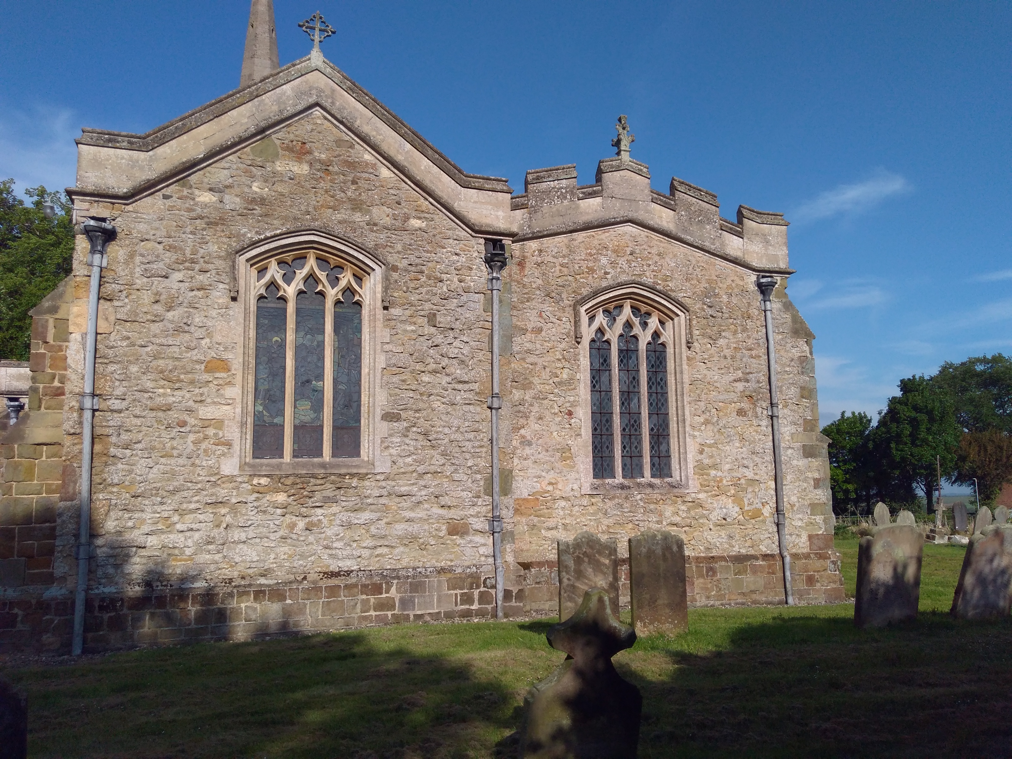
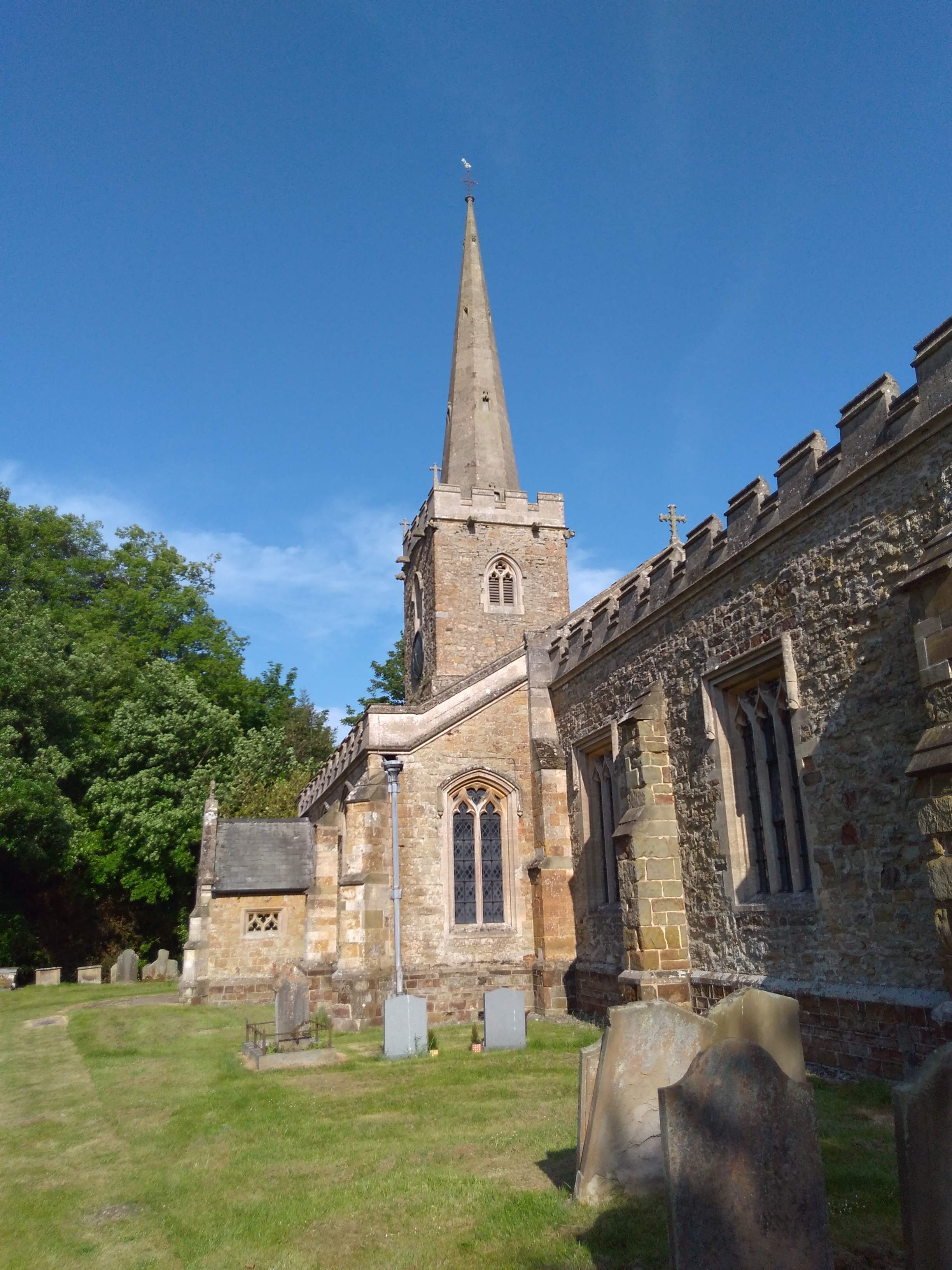
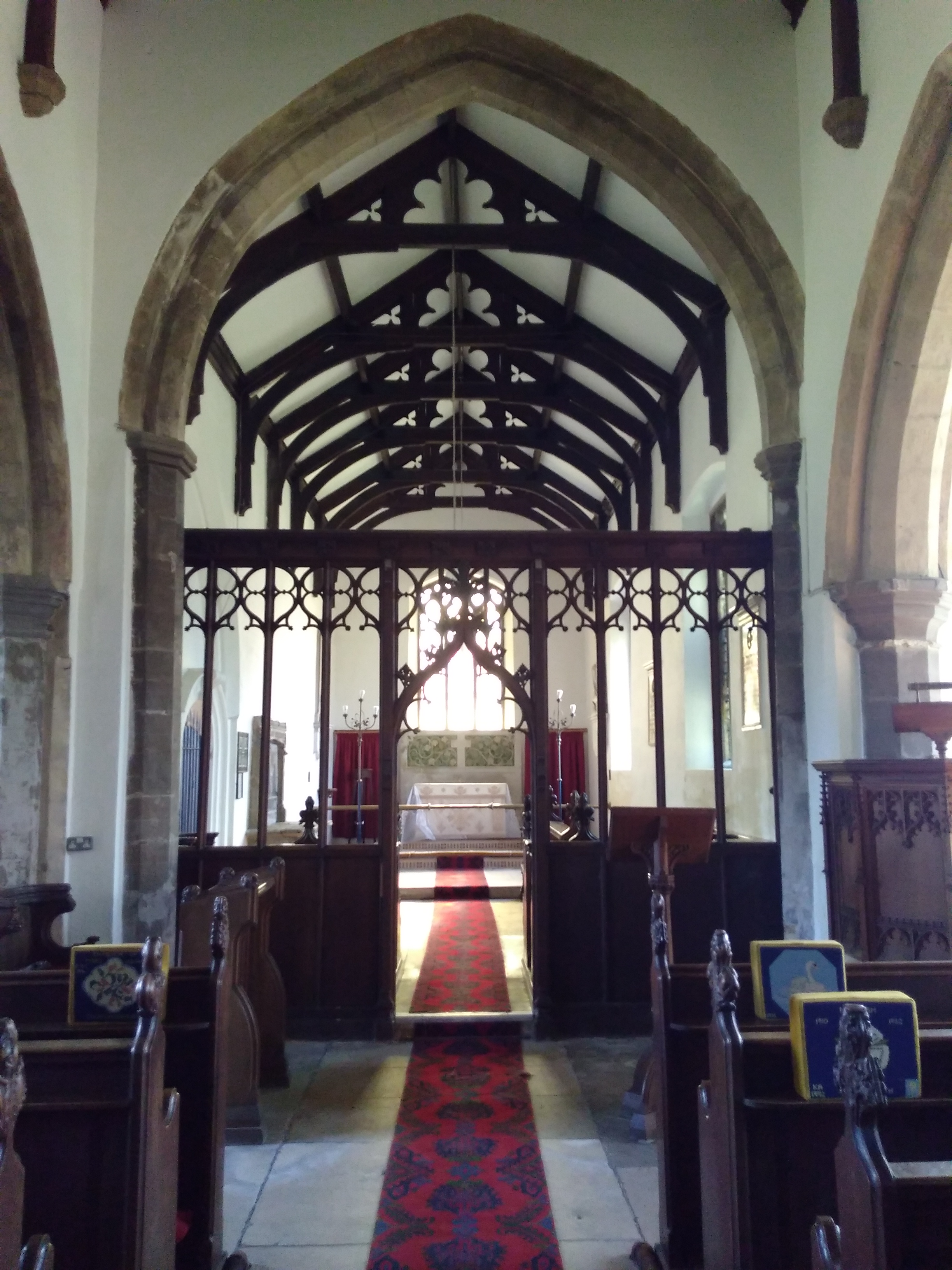
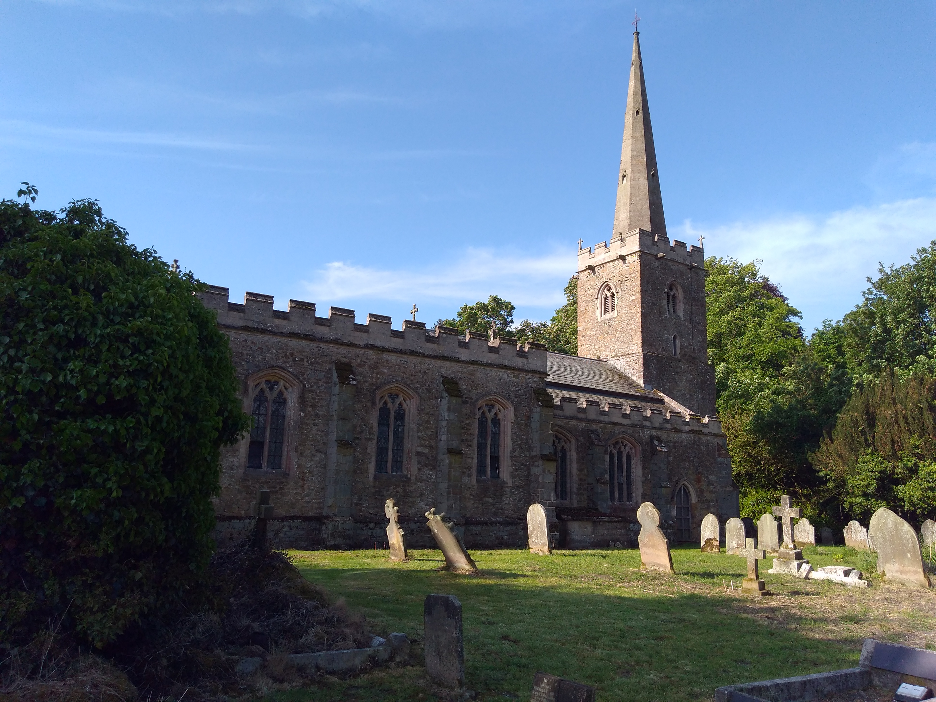
| Description | : | An Anglican parish church, dedicated to St Mary and originating in the 11th century, changes in the 13th and refurbishment in the 14th, and restored by Edward James Willson in 1848. The seat of the Heveage Family. |
frequently asked questions (FAQ):
-
Where is St. Mary's Churchyard?
St. Mary's Churchyard is located at Church Lane Hainton, East Lindsey District ,Lincolnshire ,England.
-
St. Mary's Churchyard cemetery's updated grave count on graveviews.com?
224 memorials
-
Where are the coordinates of the St. Mary's Churchyard?
Latitude: 53.3433440
Longitude: -0.2290450
Nearby Cemetories:
1. All Saints Churchyard
Sixhills, West Lindsey District, England
Coordinate: 53.3679800, -0.2426600
2. St. Mary's Churchyard
East Barkwith, East Lindsey District, England
Coordinate: 53.3175900, -0.2514400
3. St. Julian's Churchyard
Benniworth, East Lindsey District, England
Coordinate: 53.3192500, -0.1859000
4. St. Thomas the Apostle Churchyard
North Willingham, West Lindsey District, England
Coordinate: 53.3786700, -0.2524900
5. St. Helen Churchyard
Burgh on Bain, East Lindsey District, England
Coordinate: 53.3604060, -0.1644810
6. St. Helen's Churchyard
Louth, East Lindsey District, England
Coordinate: 53.3464700, -0.1539300
7. St. Helen's Churchyard
Biscathorpe, East Lindsey District, England
Coordinate: 53.3464850, -0.1538460
8. St Mary & St Peters Churchyard
Ludford, East Lindsey District, England
Coordinate: 53.3868330, -0.1963460
9. St. Andrew's Churchyard
Donington on Bain, East Lindsey District, England
Coordinate: 53.3294810, -0.1475658
10. St. Peter's Churchyard
Gayton le Wold, East Lindsey District, England
Coordinate: 53.3562320, -0.1431270
11. Station Road Cemetery
Donington on Bain, East Lindsey District, England
Coordinate: 53.3270700, -0.1429600
12. All Saints Churchyard
Holton-cum-Beckering, West Lindsey District, England
Coordinate: 53.3167370, -0.3257753
13. St. John The Baptist Churchyard
Lissington, West Lindsey District, England
Coordinate: 53.3363600, -0.3359800
14. St. Cornelius Churchyard
Linwood, West Lindsey District, England
Coordinate: 53.3626176, -0.3361707
15. St. Stephen's Churchyard
Hatton, East Lindsey District, England
Coordinate: 53.2758321, -0.2357834
16. Market Rasen Cemetery
Market Rasen, West Lindsey District, England
Coordinate: 53.3830880, -0.3275890
17. St. Giles' Churchyard
Langton by Wragby, East Lindsey District, England
Coordinate: 53.2764400, -0.2777700
18. St. Martin's Churchyard
Kirmond-le-Mire, West Lindsey District, England
Coordinate: 53.4172100, -0.2176900
19. All Saints Churchyard
Great Sturton, East Lindsey District, England
Coordinate: 53.2730000, -0.1789600
20. All Saints Churchyard
Goulceby, East Lindsey District, England
Coordinate: 53.2976400, -0.1229300
21. All Saints Old Churchyard
Goulceby, East Lindsey District, England
Coordinate: 53.2976700, -0.1228900
22. St. Thomas Churchyard
Market Rasen, West Lindsey District, England
Coordinate: 53.3883500, -0.3376700
23. St Faith Church
Kelstern, East Lindsey District, England
Coordinate: 53.3911200, -0.1196310
24. St. Oswald's Churchyard
Rand, West Lindsey District, England
Coordinate: 53.2970600, -0.3404500