| Memorials | : | 0 |
| Location | : | Tunstall, Broadland District, England |
| Coordinate | : | 52.6158200, 1.5689500 |
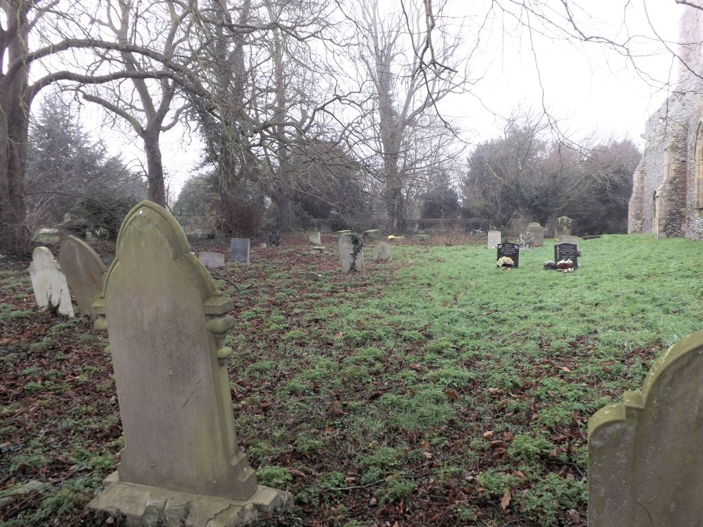
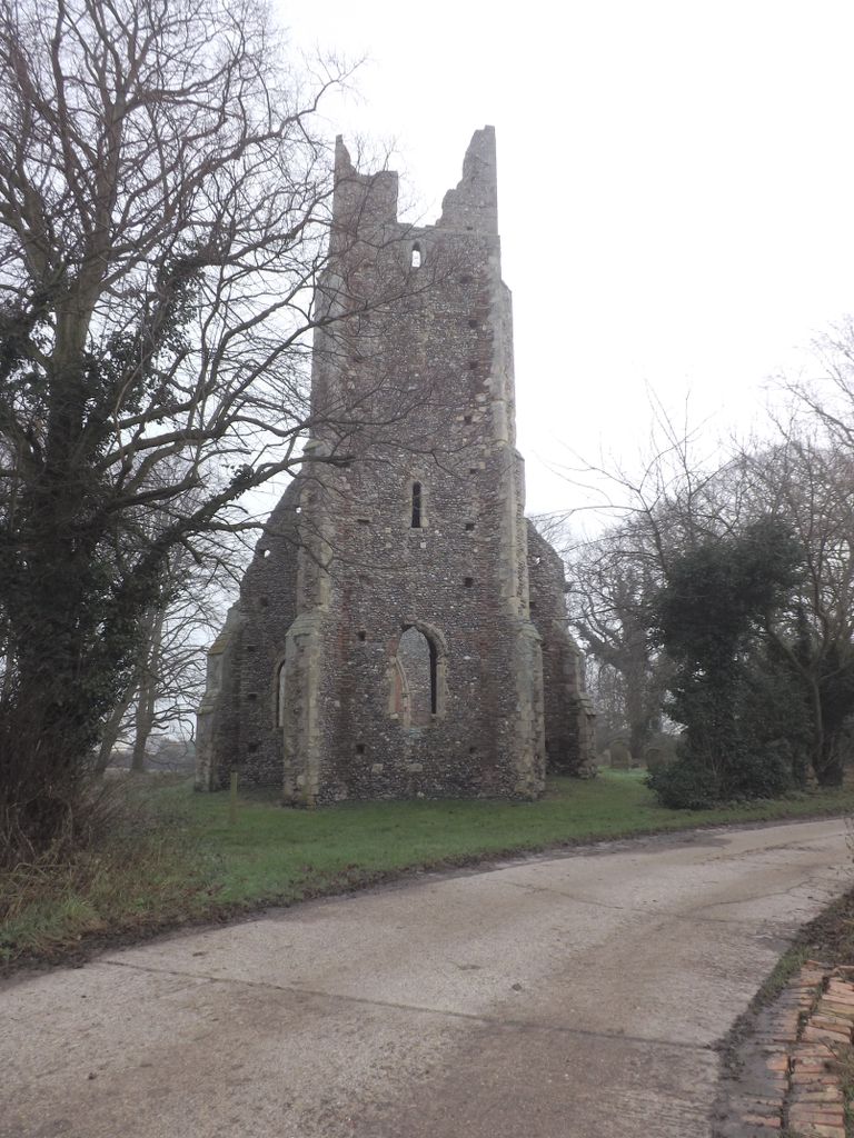
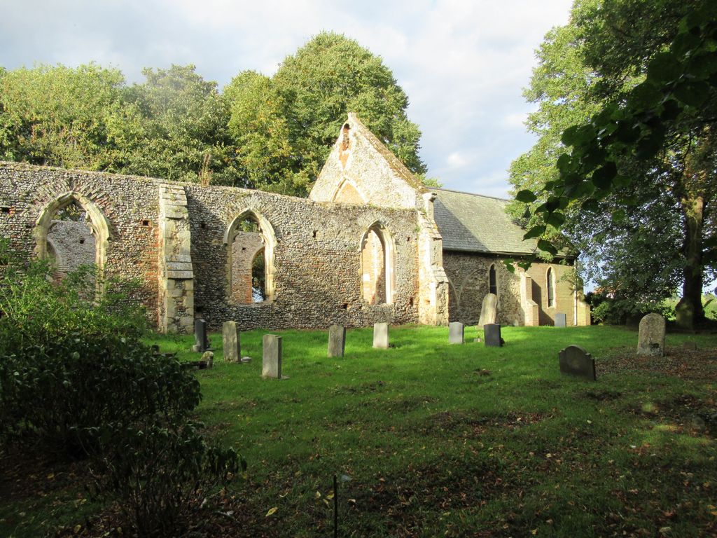
| Description | : | Tunstall is a village within the civil parish of Halvergate in the Broadland district of Norfolk, England. It lies some 14 miles south-east of Norwich alongside the River Bure. The ruinous mediaeval parish church of St Peter and St Paul is a grade II listed building. Although repaired 1705 and extended in 1853, only the chancel is now usable The building is listed under the Planning (Listed Buildings and Conservation Areas) Act 1990 as amended for its special architectural or historic interest. Constructed of flint with brick and stone dressings. Chancel roofed with slate. Ruined west tower and nave. |
frequently asked questions (FAQ):
-
Where is St. Peter's Churchyard?
St. Peter's Churchyard is located at Tunstall, Broadland District ,Norfolk ,England.
-
St. Peter's Churchyard cemetery's updated grave count on graveviews.com?
0 memorials
-
Where are the coordinates of the St. Peter's Churchyard?
Latitude: 52.6158200
Longitude: 1.5689500
Nearby Cemetories:
1. Ss Peter and Paul Churchyard
Halvergate, Broadland District, England
Coordinate: 52.6037400, 1.5688100
2. St. Mary's Churchyard, Moulton
Beighton, Broadland District, England
Coordinate: 52.6044880, 1.5465020
3. All Saints Churchyard
Freethorpe, Broadland District, England
Coordinate: 52.5938200, 1.5557200
4. St. Andrew's Churchyard
Wickhampton, Broadland District, England
Coordinate: 52.5927910, 1.5819000
5. St Edmund Churchyard
Acle, Broadland District, England
Coordinate: 52.6368650, 1.5473330
6. All Saints Churchyard
Beighton, Broadland District, England
Coordinate: 52.6198800, 1.5244000
7. St. Andrew's Churchyard
Stokesby, Great Yarmouth Borough, England
Coordinate: 52.6380280, 1.5986790
8. Freethorpe Methodist Churchyard
Freethorpe, Broadland District, England
Coordinate: 52.5879310, 1.5537940
9. Acle Cemetery
Acle, Broadland District, England
Coordinate: 52.6432300, 1.5474060
10. St. Edmund's Churchyard
Broadland District, England
Coordinate: 52.5932110, 1.5299120
11. St Edmund
Broadland District, England
Coordinate: 52.5930000, 1.5290000
12. St. Edmund's Church Cemetery
Southwood, Broadland District, England
Coordinate: 52.5918620, 1.5306067
13. St. Edmund's Churchyard
South Burlingham, Broadland District, England
Coordinate: 52.6199020, 1.5034420
14. St. Botolph's Churchyard
Limpenhoe, Broadland District, England
Coordinate: 52.5811500, 1.5340800
15. St. Margaret's Churchyard
Upton with Fishley, Broadland District, England
Coordinate: 52.6542110, 1.5371070
16. St. Peter and St. Paul Churchyard
Runham, Great Yarmouth Borough, England
Coordinate: 52.6395200, 1.6344400
17. St. Margaret Churchyard
Cantley, Broadland District, England
Coordinate: 52.5826600, 1.5137200
18. St. Mary's Churchyard
Hassingham, Broadland District, England
Coordinate: 52.5958770, 1.4963330
19. St John the Baptist Churchyard
Reedham, Broadland District, England
Coordinate: 52.5660500, 1.5807900
20. St. Peter's Churchyard
Lingwood, Broadland District, England
Coordinate: 52.6274580, 1.4866730
21. All Saints Churchyard
Billockby, Great Yarmouth Borough, England
Coordinate: 52.6653020, 1.5921800
22. St Andrew Burial Ground
North Burlingham, Broadland District, England
Coordinate: 52.6371215, 1.4878464
23. St. Nicholas' Churchyard
Buckenham, Broadland District, England
Coordinate: 52.5995590, 1.4770110
24. St Margaret Churchyard
Fleggburgh, Great Yarmouth Borough, England
Coordinate: 52.6685840, 1.6146150


