
| Memorials | : | 0 |
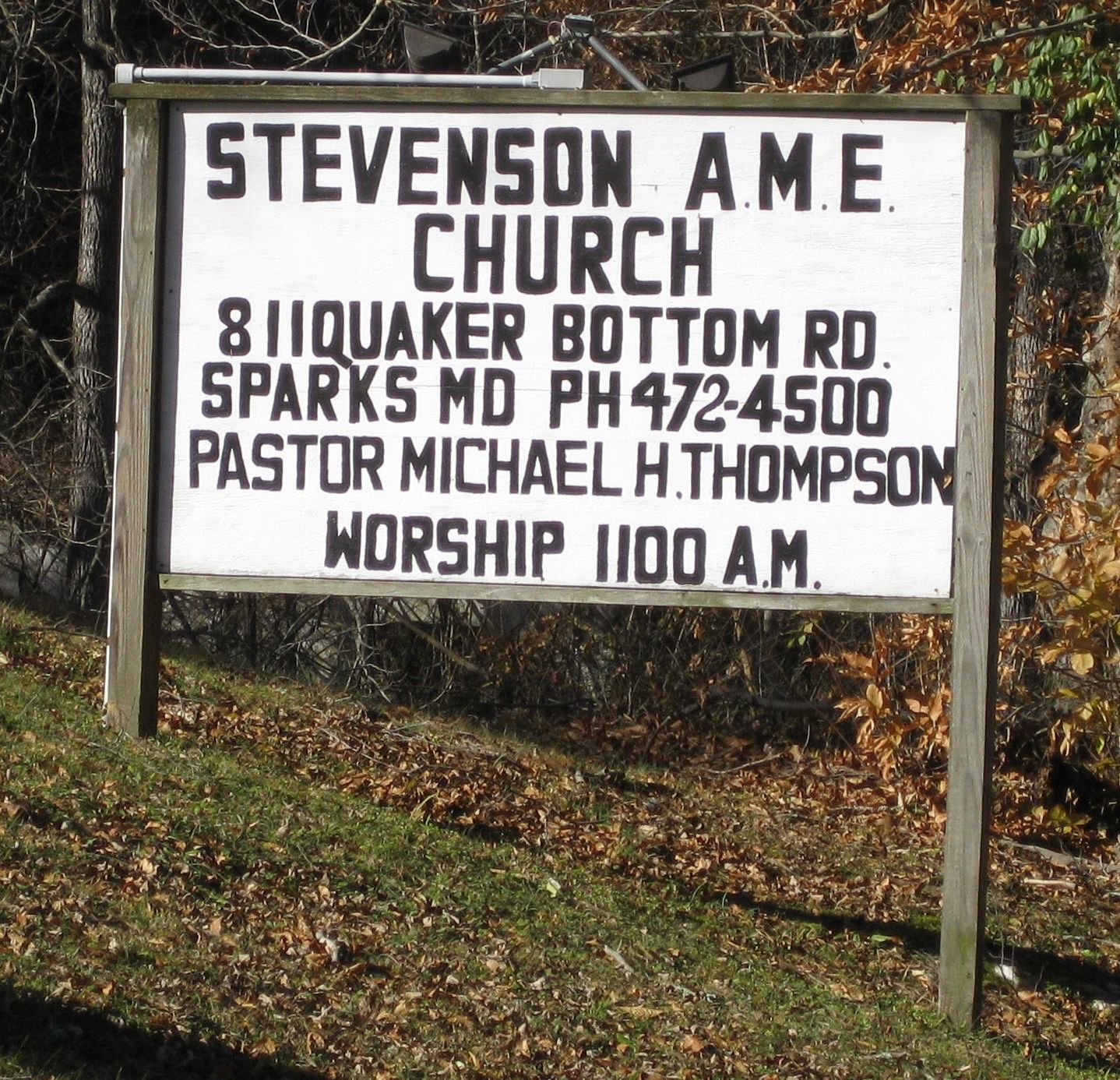
| Location | : | Sparks, Baltimore County, USA |
| Coordinate | : | 39.5296670, -76.6518610 |
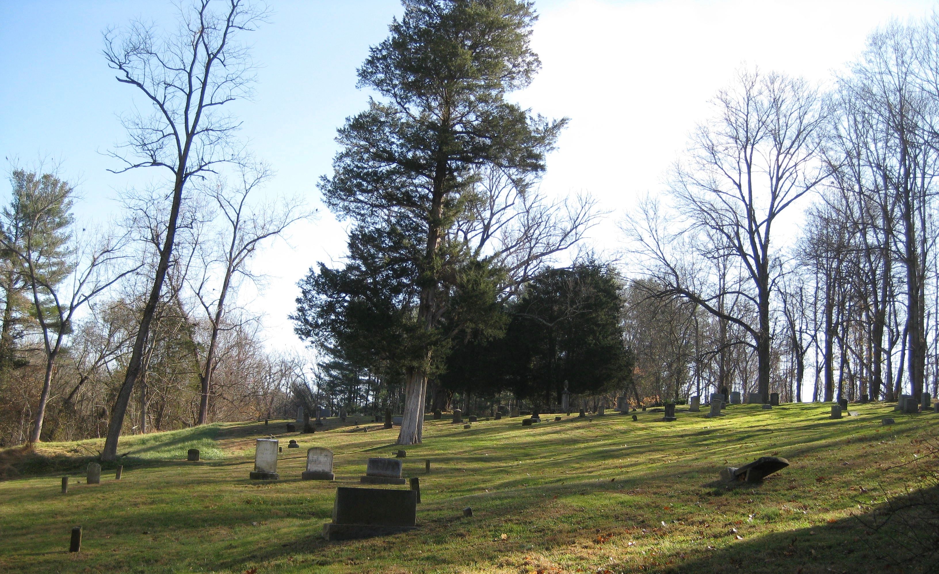
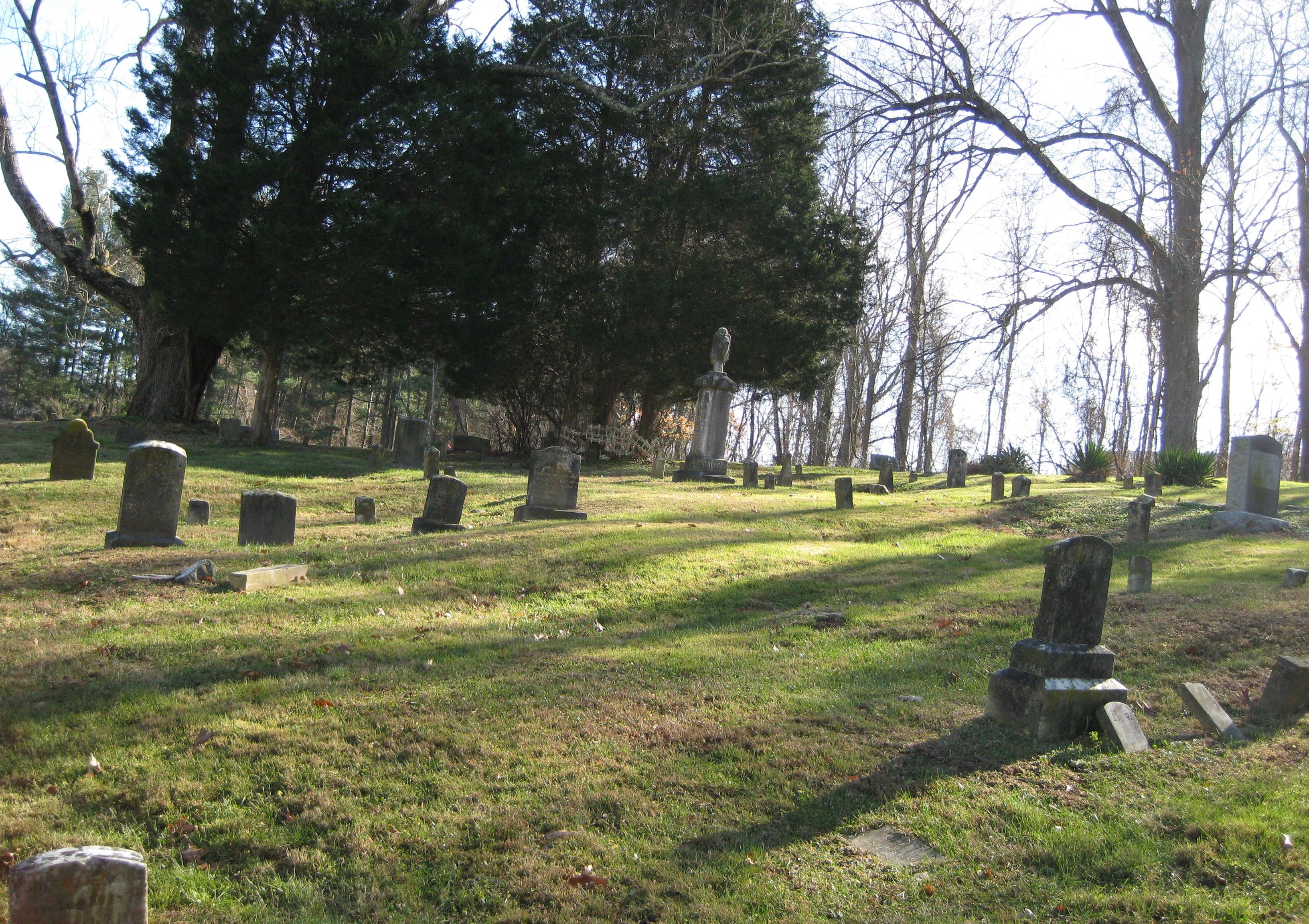
| Description | : | The African American community of Sparks centered around the Stephenson A.M.E. Chapel (BA-427). The church is an outgrowth of a cemetery established on the property in 1855 by Azahel Stephenson. The cemetery associated with Stephenson Chapel is sited directly to the south (rear) of the church building. Many of the headstones date from the 1880s prior to the construction of the church. The graves are not strictly organized in rows from front to rear but more haphazardly placed in small rows throughout the parcel. The headstones are made out of both granite and marble. Forms of the headstones... Read More |
frequently asked questions (FAQ):
-
Where is Stevenson AME Church Cemetery?
Stevenson AME Church Cemetery is located at 811 Quaker Bottom Road Sparks, Baltimore County ,Maryland ,USA.
-
Stevenson AME Church Cemetery cemetery's updated grave count on graveviews.com?
0 memorials
-
Where are the coordinates of the Stevenson AME Church Cemetery?
Latitude: 39.5296670
Longitude: -76.6518610
Nearby Cemetories:
1. Gunpowder Friends Meeting House Cemetery
Sparks, Baltimore County, USA
Coordinate: 39.5356300, -76.6710400
2. Bosley United Methodist Church Cemetery
Sparks, Baltimore County, USA
Coordinate: 39.5279400, -76.6734100
3. Jessops United Methodist Church Cemetery
Sparks, Baltimore County, USA
Coordinate: 39.5078011, -76.6408005
4. Immanuel Episcopal Church Cemetery
Sparks, Baltimore County, USA
Coordinate: 39.5533800, -76.6265900
5. Hunt Valley Towne Center
Hunt Valley, Baltimore County, USA
Coordinate: 39.4986763, -76.6553421
6. Ashland Presbyterian Church Cemetery
Cockeysville, Baltimore County, USA
Coordinate: 39.4940800, -76.6430400
7. Price Family Cemetery
Oregon, Baltimore County, USA
Coordinate: 39.4968583, -76.6840278
8. Poplar Grove United Methodist Church Cemetery
Phoenix, Baltimore County, USA
Coordinate: 39.4975200, -76.6097900
9. Sherwood Episcopal Church Cemetery
Cockeysville, Baltimore County, USA
Coordinate: 39.4828600, -76.6438100
10. Old Gunpowder Friends' Burying Ground
Cockeysville, Baltimore County, USA
Coordinate: 39.4824917, -76.6426611
11. Bazil African Methodist Episcopal Church Cemetery
Cockeysville, Baltimore County, USA
Coordinate: 39.4828000, -76.6293600
12. Geist Meeting House Cemetery
Cockeysville, Baltimore County, USA
Coordinate: 39.5045600, -76.7165800
13. Saint Lukes United Methodist Cemetery
Monkton, Baltimore County, USA
Coordinate: 39.5857150, -76.6547090
14. Meredith Family Burying Ground
Monkton, Baltimore County, USA
Coordinate: 39.5786095, -76.6158295
15. Monkton Church Cemetery
Monkton, Baltimore County, USA
Coordinate: 39.5777800, -76.6134300
16. Hereford United Methodist Cemetery
Hereford, Baltimore County, USA
Coordinate: 39.5861500, -76.6540800
17. Black Rock Cemetery
Butler, Baltimore County, USA
Coordinate: 39.5363400, -76.7288600
18. Clynmalira United Methodist Church Cemetery
Monkton, Baltimore County, USA
Coordinate: 39.5379300, -76.5734700
19. Hereford Baptist Church Cemetery
Parkton, Baltimore County, USA
Coordinate: 39.5910200, -76.6658100
20. Cockey Family Cemetery
Cockeysville, Baltimore County, USA
Coordinate: 39.4635010, -76.6426010
21. Ridgely and Talbott Family Cemetery
Baltimore County, USA
Coordinate: 39.4701960, -76.6116200
22. Fairview United Methodist Church Cemetery
Phoenix, Baltimore County, USA
Coordinate: 39.5070100, -76.5685600
23. Saint Joseph Cemetery
Cockeysville, Baltimore County, USA
Coordinate: 39.4622700, -76.6388100
24. Grace Falls Road United Methodist Church Cemetery
Reisterstown, Baltimore County, USA
Coordinate: 39.4771300, -76.7081700