
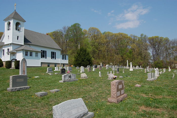
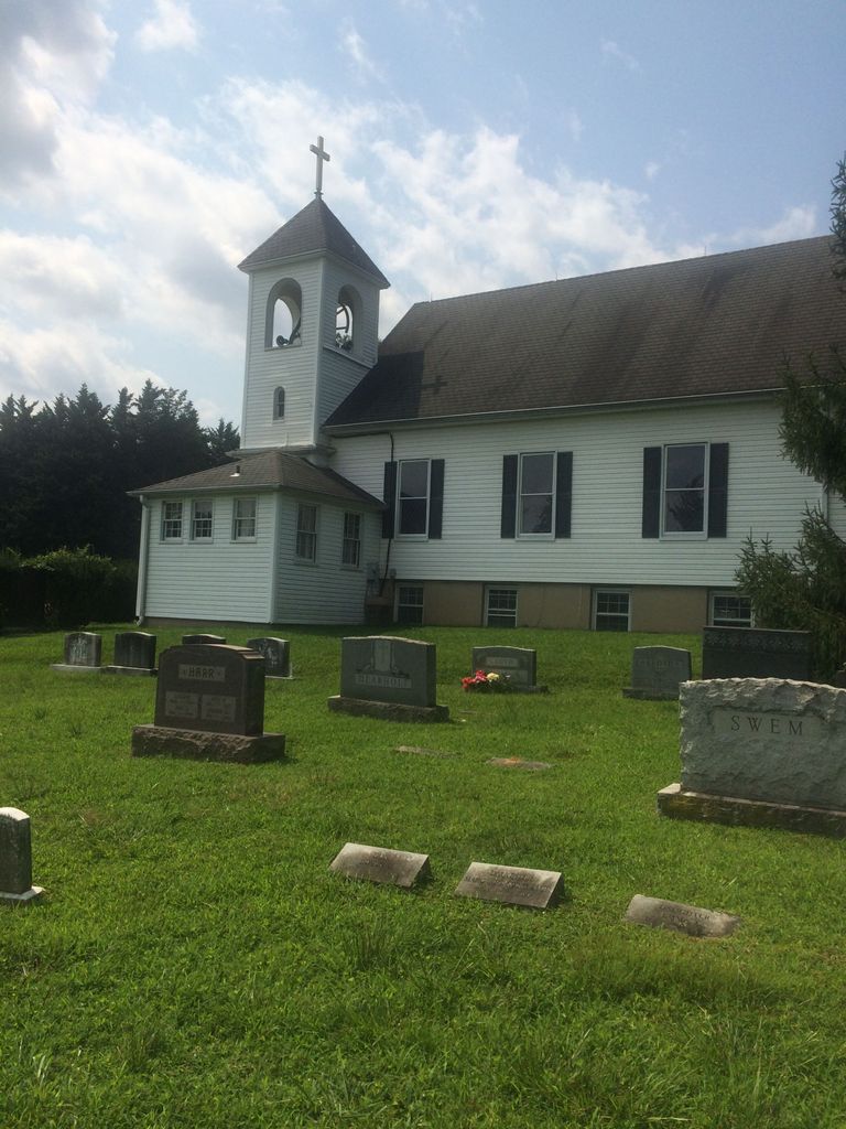
| Memorials | : | 11 |
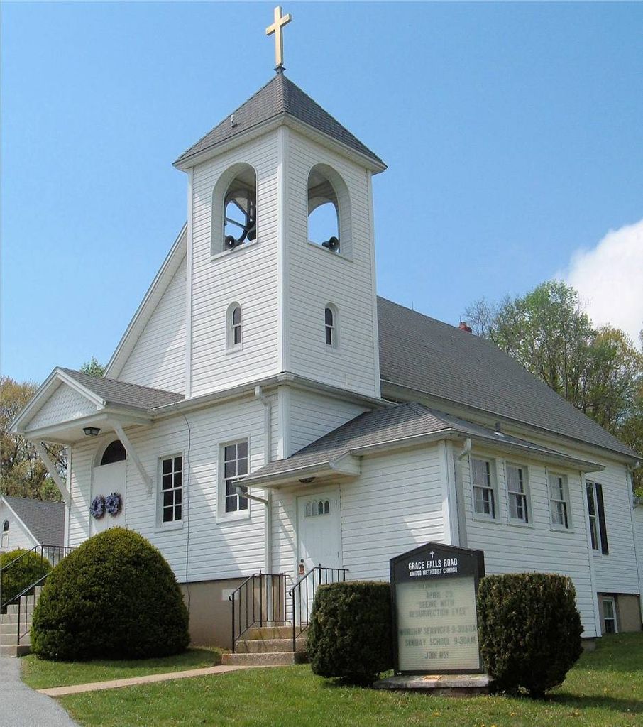
| Location | : | Reisterstown, Baltimore County, USA |
| Coordinate | : | 39.4771300, -76.7081700 |
frequently asked questions (FAQ):
-
Where is Grace Falls Road United Methodist Church Cemetery?
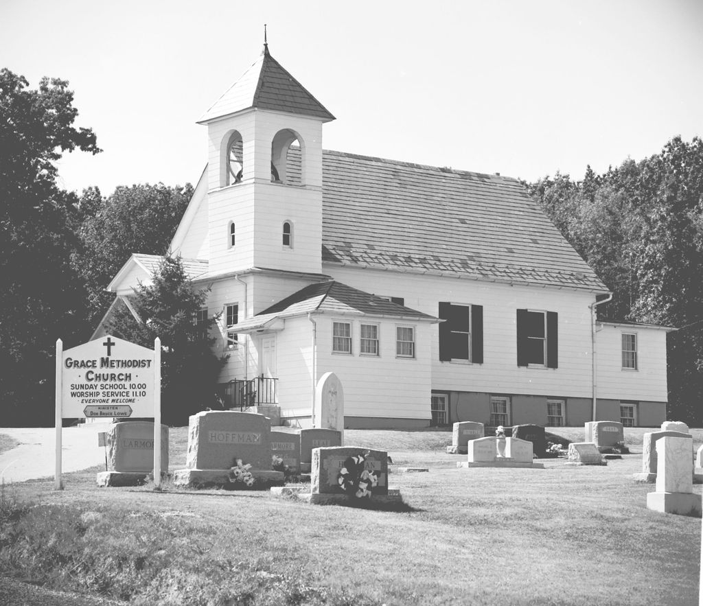
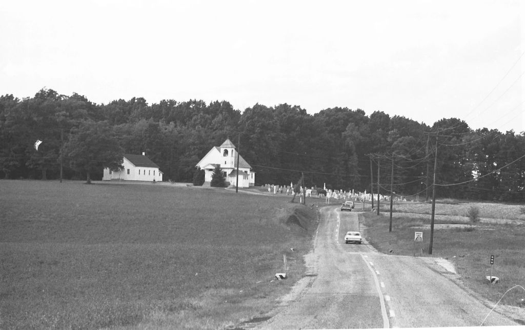
Grace Falls Road United Methodist Church Cemetery is located at 1804 Ridge Road Reisterstown, Baltimore County ,Maryland ,USA.
-
Grace Falls Road United Methodist Church Cemetery cemetery's updated grave count on graveviews.com?
11 memorials
-
Where are the coordinates of the Grace Falls Road United Methodist Church Cemetery?
Latitude: 39.4771300
Longitude: -76.7081700
Nearby Cemetories:
1. Saint Paul's Evangelical Lutheran Church Cemetery
Shawan, Baltimore County, USA
Coordinate: 39.4716830, -76.7174190
2. Baltimore County Graveyard #86
Sparks, Baltimore County, USA
Coordinate: 39.4606500, -76.7146800
3. Price Family Cemetery
Oregon, Baltimore County, USA
Coordinate: 39.4968583, -76.6840278
4. Geist Meeting House Cemetery
Cockeysville, Baltimore County, USA
Coordinate: 39.5045600, -76.7165800
5. Carrolls-Gills United Methodist Church Cemetery
Lutherville, Baltimore County, USA
Coordinate: 39.4465300, -76.7185900
6. Saters Baptist Historical Church Cemetery
Timonium, Baltimore County, USA
Coordinate: 39.4362920, -76.6870810
7. Mays Chapel Cemetery
Timonium, Baltimore County, USA
Coordinate: 39.4503000, -76.6618300
8. Hunt Valley Towne Center
Hunt Valley, Baltimore County, USA
Coordinate: 39.4986763, -76.6553421
9. Sherwood Episcopal Church Cemetery
Cockeysville, Baltimore County, USA
Coordinate: 39.4828600, -76.6438100
10. Old Gunpowder Friends' Burying Ground
Cockeysville, Baltimore County, USA
Coordinate: 39.4824917, -76.6426611
11. Sagamore Farm Grounds
Glyndon, Baltimore County, USA
Coordinate: 39.4912400, -76.7732000
12. Cockey Family Cemetery
Cockeysville, Baltimore County, USA
Coordinate: 39.4635010, -76.6426010
13. Ashland Presbyterian Church Cemetery
Cockeysville, Baltimore County, USA
Coordinate: 39.4940800, -76.6430400
14. Saint Joseph Cemetery
Cockeysville, Baltimore County, USA
Coordinate: 39.4622700, -76.6388100
15. Bosley United Methodist Church Cemetery
Sparks, Baltimore County, USA
Coordinate: 39.5279400, -76.6734100
16. Garrison Forest Veterans Cemetery
Owings Mills, Baltimore County, USA
Coordinate: 39.4407600, -76.7680800
17. Jessops United Methodist Church Cemetery
Sparks, Baltimore County, USA
Coordinate: 39.5078011, -76.6408005
18. Bazil African Methodist Episcopal Church Cemetery
Cockeysville, Baltimore County, USA
Coordinate: 39.4828000, -76.6293600
19. Saint Johns Episcopal Church Cemetery
Reisterstown, Baltimore County, USA
Coordinate: 39.5027600, -76.7800500
20. Black Rock Cemetery
Butler, Baltimore County, USA
Coordinate: 39.5363400, -76.7288600
21. Garrison Forest Cemetery
Owings Mills, Baltimore County, USA
Coordinate: 39.4363000, -76.7674800
22. Har Sinai Cemetery
Owings Mills, Baltimore County, USA
Coordinate: 39.4353900, -76.7683800
23. Nisbet Cemetery
Cockeysville, Baltimore County, USA
Coordinate: 39.4627160, -76.6282660
24. Almshouse Cemetery
Cockeysville, Baltimore County, USA
Coordinate: 39.4596200, -76.6278900