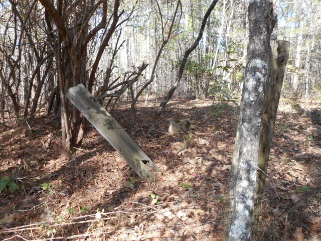
| Memorials | : | 0 |
| Location | : | Noxapater, Winston County, USA |
| Coordinate | : | 32.9689500, -88.9594500 |
frequently asked questions (FAQ):
-
Where is Stevenson Cemetery?
Stevenson Cemetery is located at Noxapater, Winston County ,Mississippi ,USA.
-
Stevenson Cemetery cemetery's updated grave count on graveviews.com?
0 memorials
-
Where are the coordinates of the Stevenson Cemetery?
Latitude: 32.9689500
Longitude: -88.9594500
Nearby Cemetories:
1. Old Enon Cemetery
Claytown, Winston County, USA
Coordinate: 32.9766312, -88.9746170
2. Fulton Cemetery
Winston County, USA
Coordinate: 32.9874992, -88.9499969
3. Vernon Assembly of God Cemetery
Vernon, Winston County, USA
Coordinate: 32.9841170, -88.9343250
4. Middleton Cemetery
Winston County, USA
Coordinate: 32.9477997, -88.9392014
5. Shields Cemetery
Winston County, USA
Coordinate: 32.9858900, -88.9852770
6. Vernon Methodist Church Cemetery
Vernon, Winston County, USA
Coordinate: 32.9852982, -88.9310989
7. McArthur Cemetery
Nanih Waiya, Winston County, USA
Coordinate: 32.9638700, -88.9201000
8. Whitehead Cemetery
Winston County, USA
Coordinate: 32.9941730, -88.9326660
9. Enon Baptist Church Cemetery
Claytown, Winston County, USA
Coordinate: 32.9951210, -88.9877220
10. Boydston Cemetery
Winston County, USA
Coordinate: 32.9485200, -88.9167300
11. Harmony Cemetery
Vernon, Winston County, USA
Coordinate: 32.9883003, -88.9132996
12. Oak Grove Cemetery
Winston County, USA
Coordinate: 32.9314003, -88.9888992
13. Rocky Hill Cemetery
Louisville, Winston County, USA
Coordinate: 33.0102997, -88.9888992
14. Pilgrim Rest Baptist Church Cemetery
Winston County, USA
Coordinate: 32.9543762, -88.9020462
15. Old Oak Grove M.B. Church Cemetery #2
Nanih Waiya, Winston County, USA
Coordinate: 33.0209500, -88.9818830
16. Union Ridge Cemetery
Noxapater, Winston County, USA
Coordinate: 32.9571991, -89.0250015
17. Nanih Waiya Mennonite Church Cemetery
Neshoba County, USA
Coordinate: 32.9022360, -88.9259090
18. Oak Grove # 2 Missionary Baptist Church Cemetery
Louisville, Winston County, USA
Coordinate: 33.0206150, -89.0216170
19. Woodruff Cemetery
Winston County, USA
Coordinate: 33.0210460, -89.0217450
20. Lovorn Cemetery
Fearns Springs, Winston County, USA
Coordinate: 32.9651800, -88.8713800
21. Mount Hebron Cemetery
Handle, Winston County, USA
Coordinate: 32.9557991, -88.8724976
22. Coy United Methodist Church Cemetery
Neshoba County, USA
Coordinate: 32.9039001, -88.9152985
23. Mount Pisgah Cemetery
Neshoba County, USA
Coordinate: 32.9309400, -89.0395900
24. McGraw-Reed-McDonald Cemetery
Fearns Springs, Winston County, USA
Coordinate: 32.9717000, -88.8651700

