| Memorials | : | 0 |
| Location | : | Grafton, Taylor County, USA |
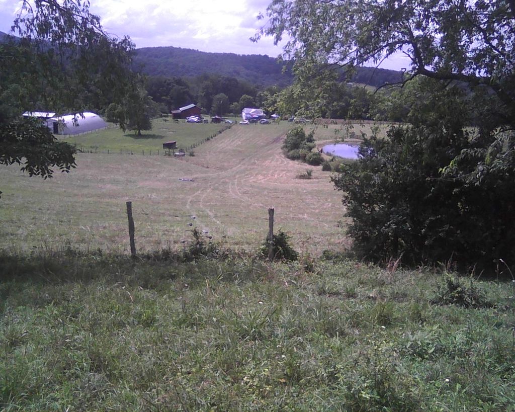
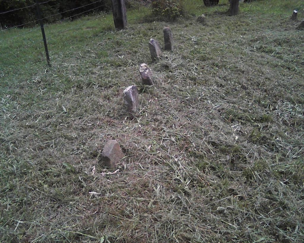
| Description | : | The Stilwell/ Losh Family Cemetary is located on the Losh Family farm in Grafton, Taylor County, West Virginia. It is private property. The farm was once the Stilwell farm. Some family members, such as Ruth E. Stilwell, were removed from the cemetery and buried in Woodsdale Memorial Park in Pruntytown, Taylor County, West Virginia, USA. Several markers in the cemetery are completely worn and cannot be read. |
frequently asked questions (FAQ):
-
Where is Stilwell - Losh Family Cemetery?
Stilwell - Losh Family Cemetery is located at Grafton, Taylor County, USA.
-
Stilwell - Losh Family Cemetery cemetery's updated grave count on graveviews.com?
0 memorials
Nearby Cemetories:
1. Brohard Cemetery
Taylor County, USA
Coordinate: 39.3336590, -80.0817140
2. Brown Cemetery
Taylor County, USA
Coordinate: 39.3292360, -80.1095210
3. Coplin Cemetery
Taylor County, USA
4. Carder Cemetery
Fetterman, Taylor County, USA
Coordinate: 39.3360670, -80.0549330
5. Union Baptist Church Cemetery
Simpson, Taylor County, USA
Coordinate: 39.3350190, -80.0730590
6. Adams Cemetery
Flemington, Taylor County, USA
Coordinate: 39.3602170, -80.0782840
7. Bailey Memorial Cemetery
Flemington, Taylor County, USA
Coordinate: 39.3408012, -80.0658035
8. Flemington Cemetery IOOF
Flemington, Taylor County, USA
Coordinate: 39.3897018, -80.1605988
9. Lillydale Cemetery
Taylor County, USA
Coordinate: 39.3125000, -79.9642029
10. Lawler Cemetery
McGee, Taylor County, USA
Coordinate: 39.3116989, -80.1472015
11. Prunty Cemetery
Taylor County, USA
Coordinate: 39.4439210, -79.9213680
12. Abram Smith Cemetery
Pruntytown, Taylor County, USA
Coordinate: 39.2813988, -80.0472031
13. Beulah Cemetery
Pruntytown, Taylor County, USA
Coordinate: 39.3336590, -80.0817140
14. Gawthrop Cemetery
Pruntytown, Taylor County, USA
Coordinate: 39.3292360, -80.1095210
15. John Carder Cemetery
Pruntytown, Taylor County, USA
16. Warder Cemetery
Pruntytown, Taylor County, USA
Coordinate: 39.3360670, -80.0549330
17. West Virginia National Cemetery
Pruntytown, Taylor County, USA
Coordinate: 39.3350190, -80.0730590
18. Wiseman Cemetery
Pruntytown, Taylor County, USA
Coordinate: 39.3602170, -80.0782840
19. Woodsdale Memorial Park
Pruntytown, Taylor County, USA
Coordinate: 39.3408012, -80.0658035
20. Janes Memorial Cemetery
Taylor County, USA
Coordinate: 39.3897018, -80.1605988
21. Knottsville Cemetery
Knottsville, Taylor County, USA
Coordinate: 39.3125000, -79.9642029
22. Old Side Cemetery
Taylor County, USA
Coordinate: 39.3116989, -80.1472015
23. Slab Camp Cemetery
Taylor County, USA
Coordinate: 39.4439210, -79.9213680
24. Walnut Grove Cemetery
Webster, Taylor County, USA
Coordinate: 39.2813988, -80.0472031


