
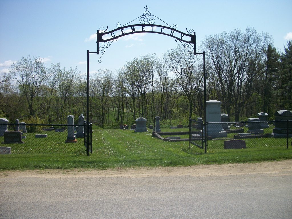
| Memorials | : | 14 |
| Location | : | Stitzer, Grant County, USA |
| Coordinate | : | 42.9231600, -90.6224500 |
frequently asked questions (FAQ):
-
Where is Stitzer Lutheran Cemetery?
Stitzer Lutheran Cemetery is located at Liberty Ridge Road Stitzer, Grant County ,Wisconsin ,USA.
-
Stitzer Lutheran Cemetery cemetery's updated grave count on graveviews.com?
14 memorials
-
Where are the coordinates of the Stitzer Lutheran Cemetery?
Latitude: 42.9231600
Longitude: -90.6224500
Nearby Cemetories:
1. Stitzer Presbyterian Cemetery
Stitzer, Grant County, USA
Coordinate: 42.9325100, -90.6261800
2. Stitzer United Methodist Church Cemetery
Stitzer, Grant County, USA
Coordinate: 42.9326000, -90.6262000
3. Shady Grove Mennonite Church Cemetery
Fennimore, Grant County, USA
Coordinate: 42.9518600, -90.5856500
4. Saint Pauls United Church of Christ Cemetery
Lancaster, Grant County, USA
Coordinate: 42.8890500, -90.6607270
5. McGhan Cemetery
Fennimore, Grant County, USA
Coordinate: 42.9675000, -90.6359000
6. Dyer Cemetery
Fennimore, Grant County, USA
Coordinate: 42.9163600, -90.7082000
7. Ebenezer Cemetery
Annaton, Grant County, USA
Coordinate: 42.9516983, -90.5363998
8. Weaverland Conference Cemetery
Fennimore, Grant County, USA
Coordinate: 42.9918220, -90.5876210
9. Prairie Cemetery
Fennimore, Grant County, USA
Coordinate: 42.9893990, -90.6753006
10. Saint Marys Catholic Church Cemetery
Fennimore, Grant County, USA
Coordinate: 42.9895500, -90.6763300
11. Ellis - Harelson Cemetery
Lancaster, Grant County, USA
Coordinate: 42.8713990, -90.7033550
12. Switzer Cemetery
Fennimore, Grant County, USA
Coordinate: 43.0025400, -90.6261500
13. Farview-Hake Cemetery
Union, Grant County, USA
Coordinate: 42.8638000, -90.5468400
14. Mount Zion Cemetery
Lancaster, Grant County, USA
Coordinate: 42.9420662, -90.7445374
15. Oak Ridge Cemetery
Union, Grant County, USA
Coordinate: 42.8386002, -90.5653000
16. Hillside Cemetery
Lancaster, Grant County, USA
Coordinate: 42.8414001, -90.6939011
17. Dewey Cemetery
Lancaster, Grant County, USA
Coordinate: 42.8455700, -90.7105900
18. Cass Hollow Cemetery
Wingville, Grant County, USA
Coordinate: 43.0018100, -90.5287600
19. Borah Cemetery
Mount Ida, Grant County, USA
Coordinate: 42.9606018, -90.7596970
20. German Cemetery
Fennimore, Grant County, USA
Coordinate: 43.0313988, -90.6213989
21. Buck Wheat Ridge Cemetery
Ellenboro, Grant County, USA
Coordinate: 42.8199997, -90.5708008
22. Grant County Cemetery
Lancaster, Grant County, USA
Coordinate: 42.8233300, -90.6874720
23. Aupperle Cemetery
Lancaster, Grant County, USA
Coordinate: 42.8130900, -90.6595900
24. Rock Church Cemetery
Livingston, Grant County, USA
Coordinate: 42.9043999, -90.4677963