
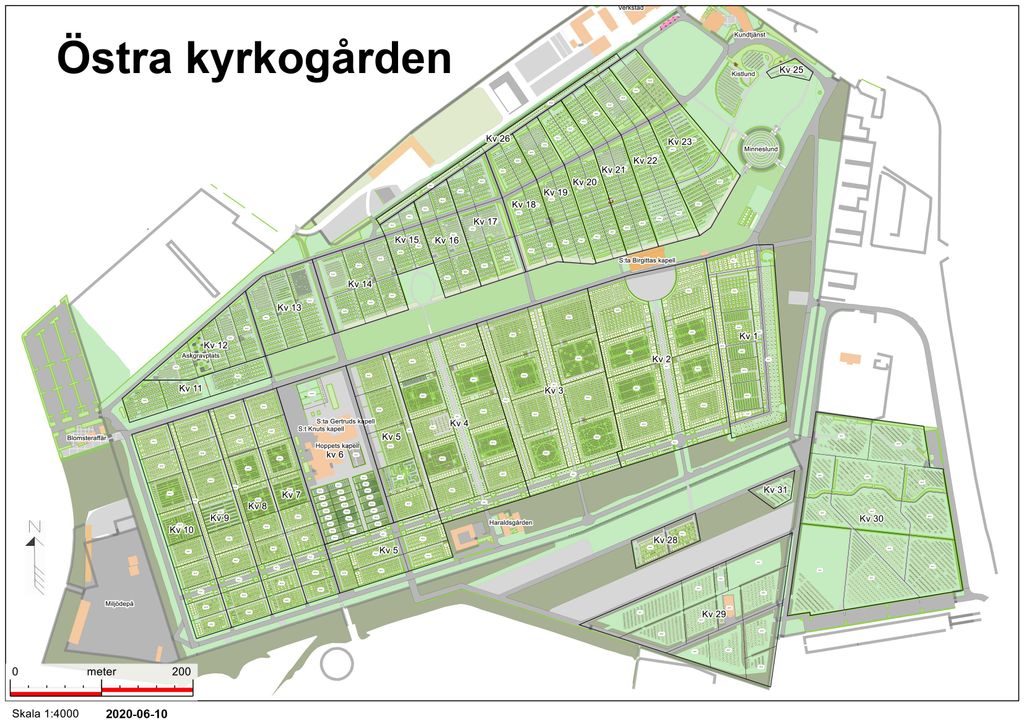
| Memorials | : | 106 |
| Location | : | Malmö, Malmö kommun, Sweden |
| Coordinate | : | 55.5936110, 13.0452780 |
| Description | : | Public transit entrance: Sallerupsvägen 151, 213 64 Malmö |
frequently asked questions (FAQ):
-
Where is Östra Kyrkogården?
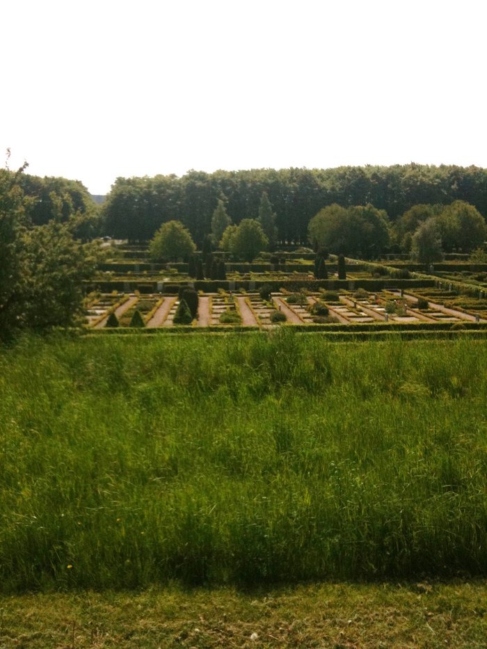
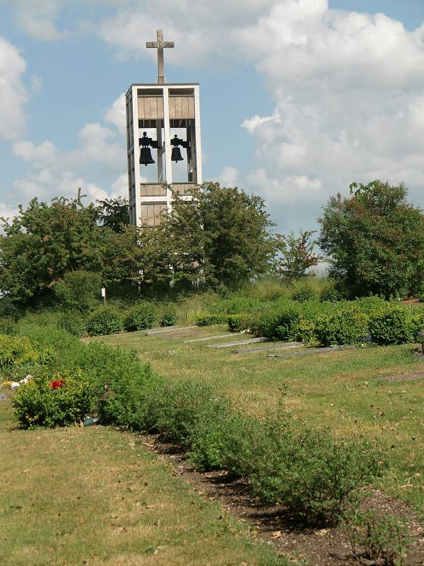
Östra Kyrkogården is located at Scheelegatan 38 Malmö, Malmö kommun ,Skåne län , 213 64Sweden.
-
Östra Kyrkogården cemetery's updated grave count on graveviews.com?
106 memorials
-
Where are the coordinates of the Östra Kyrkogården?
Latitude: 55.5936110
Longitude: 13.0452780
Nearby Cemetories:
1. Sankt Pauli Mellersta Kyrkogård
Malmö, Malmö kommun, Sweden
Coordinate: 55.5976730, 13.0202500
2. Malmo Jewish Cemetery
Malmö, Malmö kommun, Sweden
Coordinate: 55.6023100, 13.0186500
3. Hyllie kyrkogård
Malmö kommun, Sweden
Coordinate: 55.5663535, 12.9632980
4. Limhamns Kyrkogård
Malmö, Malmö kommun, Sweden
Coordinate: 55.5726990, 12.9453440
5. Arrie Kyrkogård
Vellinge, Vellinge kommun, Sweden
Coordinate: 55.5153062, 13.0848378
6. Bara Kyrkogård
Svedala kommun, Sweden
Coordinate: 55.5909233, 13.2014502
7. Bara Ödekyrkogård
Svedala kommun, Sweden
Coordinate: 55.5909945, 13.2017832
8. Hököpinge Gamla Kyrkogård
Vellinge, Vellinge kommun, Sweden
Coordinate: 55.5025990, 13.0297430
9. Hököpinge Nya Kyrkogård
Vellinge, Vellinge kommun, Sweden
Coordinate: 55.5013195, 13.0323886
10. Gessie Gamla Kyrkogård
Vellinge, Vellinge kommun, Sweden
Coordinate: 55.5018556, 12.9968000
11. Gessie Nya Kyrkogård
Gessie, Vellinge kommun, Sweden
Coordinate: 55.5017280, 12.9882270
12. Uppåkra Kyrkogård
Lilla Uppakra, Staffanstorps kommun, Sweden
Coordinate: 55.6610140, 13.1855162
13. Södra Åkarp Kyrkogård
Sodra Akarp, Vellinge kommun, Sweden
Coordinate: 55.4840714, 13.0510117
14. Västra Ingelstads Kyrkogård
Vellinge, Vellinge kommun, Sweden
Coordinate: 55.4902806, 13.1160125
15. Västra Ingelstad Nya Kyrkogård
Vellinge, Vellinge kommun, Sweden
Coordinate: 55.4903817, 13.1168721
16. Västra Ingelstad Gamla Kyrkogård
Vastra Ingelstad, Vellinge kommun, Sweden
Coordinate: 55.4903430, 13.1168530
17. Sankt Lars
Lund, Lunds kommun, Sweden
Coordinate: 55.6817900, 13.1676700
18. Eskilstorps Kyrkogård
Vellinge, Vellinge kommun, Sweden
Coordinate: 55.4804669, 13.0234034
19. Mellan-Grevie Kyrkogård
Mellan-Grevie, Vellinge kommun, Sweden
Coordinate: 55.4700912, 13.0970274
20. Vellinge Nya Kyrkogård
Vellinge, Vellinge kommun, Sweden
Coordinate: 55.4655504, 13.0196800
21. Östra Grevie Kyrkogård
Ostra Grevie, Vellinge kommun, Sweden
Coordinate: 55.4690915, 13.1349324
22. Stora Råby kyrkogård
Lunds kommun, Sweden
Coordinate: 55.6859377, 13.2250434
23. Lunds Östra kyrkogård
Lund, Lunds kommun, Sweden
Coordinate: 55.6990000, 13.2016000
24. Lund Northern Cemetery
Lund, Lunds kommun, Sweden
Coordinate: 55.7145400, 13.1926900