
| Memorials | : | 0 |
| Location | : | Grandview, Jackson County, USA |
| Coordinate | : | 38.8806400, -94.4781500 |
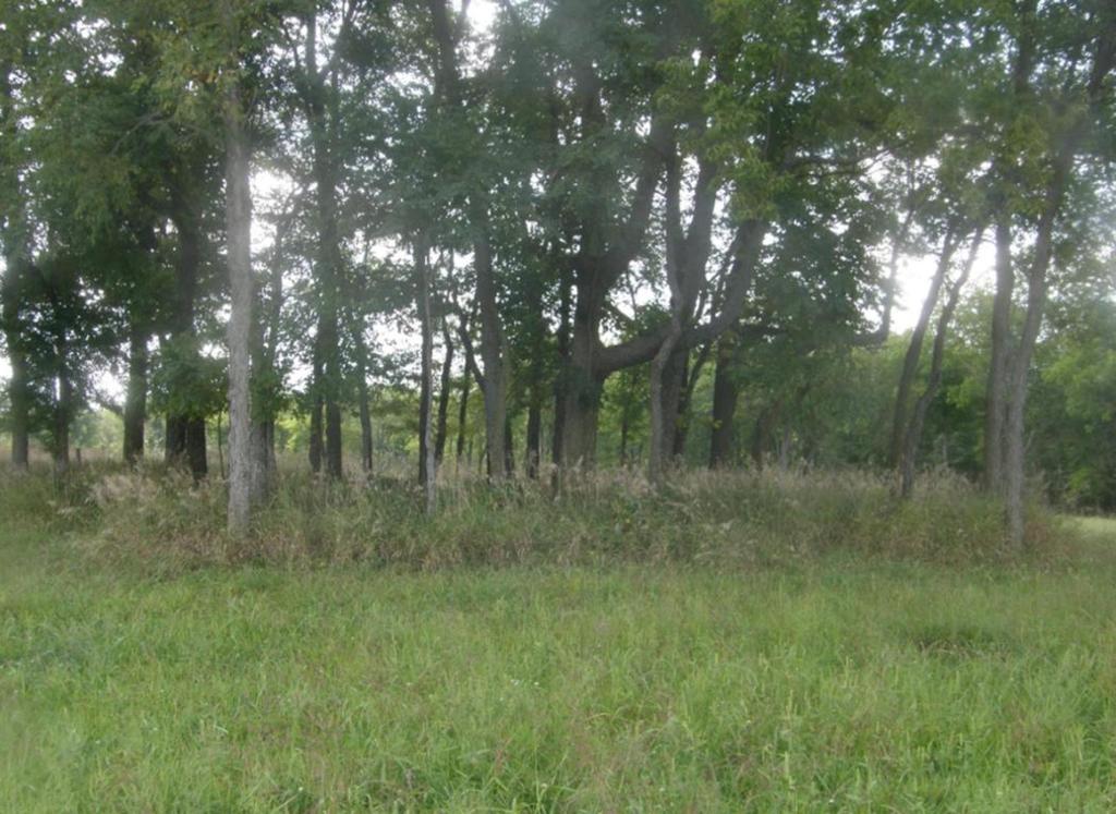
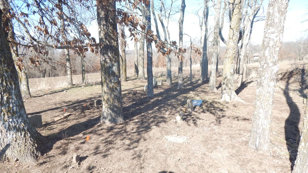
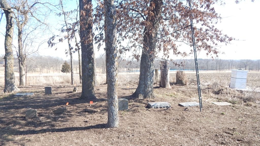
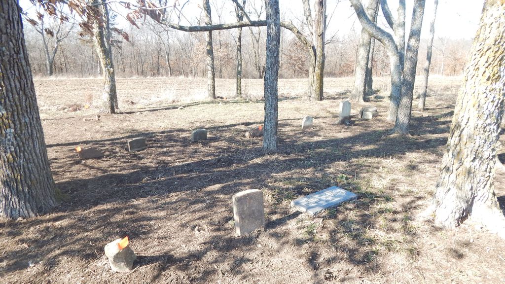
| Description | : | Sect. 20, Twp 47, Range 32W Prairie Township? Mr. Brown sent copies of the description of the old Strode Cemetery. A sheet with the letterhead of the City Engineer's office in Independence, Missouri headed F. A. Jones Civil Engineer and Surveyor, reads as follows: Description: Beginning at a point (at right angles with the 1/2 section line) 1008 feet North, and 241 1/2 feet East running thence North 60 feet, thence East 35 feet; then South 60 feet and thence West 35 feet to the beginning magnetic variation 6 o 10' East, on all lines. Very respectfully submitted, F. A. Jones, Dupty Co.... Read More |
frequently asked questions (FAQ):
-
Where is Strode Burying Ground?
Strode Burying Ground is located at Grandview, Jackson County ,Missouri ,USA.
-
Strode Burying Ground cemetery's updated grave count on graveviews.com?
0 memorials
-
Where are the coordinates of the Strode Burying Ground?
Latitude: 38.8806400
Longitude: -94.4781500
Nearby Cemetories:
1. Longview Memorial Gardens
Kansas City, Jackson County, USA
Coordinate: 38.8905700, -94.4755100
2. Chrisman Cemetery
Lee's Summit, Jackson County, USA
Coordinate: 38.8905900, -94.4456700
3. Taylor Community Burying Ground
Grandview, Jackson County, USA
Coordinate: 38.8640800, -94.5171800
4. Remembrance Flower Garden
Grandview, Jackson County, USA
Coordinate: 38.8878280, -94.5277452
5. Blue Ridge Cemetery
Grandview, Jackson County, USA
Coordinate: 38.8995171, -94.5336227
6. Wayside Waifs Pet Memorial Park
Kansas City, Jackson County, USA
Coordinate: 38.9070015, -94.5473480
7. Mid-America Muslim Cemetery
Kansas City, Jackson County, USA
Coordinate: 38.9443588, -94.4903336
8. Noland Cemetery
Kansas City, Jackson County, USA
Coordinate: 38.9458008, -94.4805984
9. Ganzer Cemetery
Kansas City, Jackson County, USA
Coordinate: 38.9425011, -94.4514008
10. XII Gates Memorial Gardens
Kansas City, Jackson County, USA
Coordinate: 38.9514999, -94.4732971
11. Flanery - Frost Cemetery
Kansas City, Jackson County, USA
Coordinate: 38.9519005, -94.4428024
12. Aldersgate United Methodist Church Columbarium
Lee's Summit, Jackson County, USA
Coordinate: 38.8540820, -94.3826940
13. Palestine Cemetery
Kansas City, Jackson County, USA
Coordinate: 38.9566994, -94.5068970
14. Raymore Cemetery
Raymore, Cass County, USA
Coordinate: 38.7980995, -94.4486008
15. Klapmeyer Cemetery
Kansas City, Jackson County, USA
Coordinate: 38.8777200, -94.5891200
16. Unity Village Rose Garden
Unity Village, Jackson County, USA
Coordinate: 38.9473400, -94.4062300
17. Davis Burying Ground
Martin City, Jackson County, USA
Coordinate: 38.8756256, -94.5937119
18. Mount Pleasant Cemetery
Martin City, Jackson County, USA
Coordinate: 38.9014015, -94.5911026
19. Bartleson Burying Ground
Kansas City, Jackson County, USA
Coordinate: 38.8489700, -94.5877400
20. Belton Cemetery
Belton, Cass County, USA
Coordinate: 38.8017006, -94.5366974
21. Howell Cemetery
Raytown, Jackson County, USA
Coordinate: 38.9752600, -94.4690680
22. Lee's Summit Historical Cemetery
Lee's Summit, Jackson County, USA
Coordinate: 38.9163818, -94.3638687
23. Smith-Davis Cemetery
Raytown, Jackson County, USA
Coordinate: 38.9717340, -94.4397250
24. Mount Moriah Cemetery
Kansas City, Jackson County, USA
Coordinate: 38.9375810, -94.5814490