
| Memorials | : | 0 |
| Location | : | Freeport, Stephenson County, USA |
| Coordinate | : | 42.3032560, -89.6254550 |
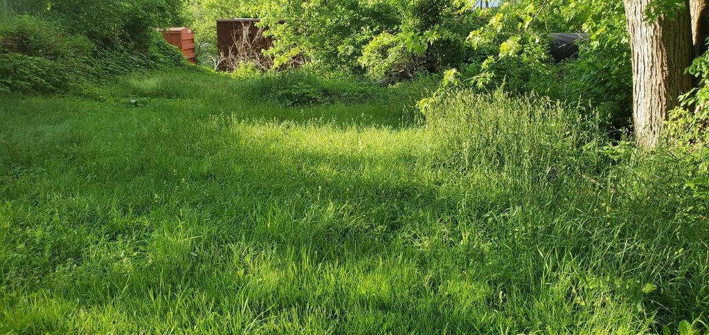
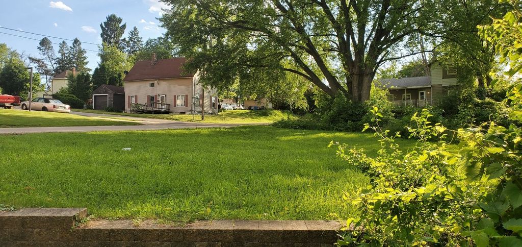
| Description | : | The first death in Freeport was that of Emma Eads, a child of Hiram Eads, in the autumn of 1836. She was laid to rest in a plot of ground which in 1838 or 1839 was laid out as the first town cemetery in Freeport. Located at the foot of Summit Street, it served as the town's burial ground until it ran out of space during the cholera epidemic of 1852. With the first town cemetery overflowing, present-day Freeport City Cemetery on Lincoln Avenue was opened. Some of the bodies were removed from the first municipal burial ground to the... Read More |
frequently asked questions (FAQ):
-
Where is Summit Street Burial Ground?
Summit Street Burial Ground is located at foot of Summit Street Freeport, Stephenson County ,Illinois , 61032USA.
-
Summit Street Burial Ground cemetery's updated grave count on graveviews.com?
0 memorials
-
Where are the coordinates of the Summit Street Burial Ground?
Latitude: 42.3032560
Longitude: -89.6254550
Nearby Cemetories:
1. Grace Episcopal Church Columbarium
Freeport, Stephenson County, USA
Coordinate: 42.2964200, -89.6246100
2. Freeport City Cemetery
Freeport, Stephenson County, USA
Coordinate: 42.2924995, -89.6352997
3. Calvary Cemetery
Freeport, Stephenson County, USA
Coordinate: 42.2963982, -89.6568985
4. Saint Joseph Catholic Cemetery
Freeport, Stephenson County, USA
Coordinate: 42.2807999, -89.6033020
5. Oakland Cemetery
Freeport, Stephenson County, USA
Coordinate: 42.2785988, -89.6631012
6. Chapel Hill Memorial Gardens
Freeport, Stephenson County, USA
Coordinate: 42.2635994, -89.6335983
7. County Home Cemetery
Freeport, Stephenson County, USA
Coordinate: 42.2589530, -89.6311250
8. Grandview Cemetery
Freeport, Stephenson County, USA
Coordinate: 42.3480988, -89.6318970
9. Silver Spring Cemetery
Stephenson County, USA
Coordinate: 42.3306007, -89.5532990
10. Harlem Center Cemetery
Stephenson County, USA
Coordinate: 42.3400002, -89.6908035
11. Martin Cemetery
Stephenson County, USA
Coordinate: 42.3266983, -89.7097015
12. Cranes Grove Cemetery
Stephenson County, USA
Coordinate: 42.2372017, -89.5896988
13. Hart Cemetery
Stephenson County, USA
Coordinate: 42.2719002, -89.7181015
14. Baltus Lenington Gravesite
Freeport, Stephenson County, USA
Coordinate: 42.3284900, -89.7293000
15. Cedarville Cemetery
Cedarville, Stephenson County, USA
Coordinate: 42.3838997, -89.6410980
16. Gund Cemetery
Freeport, Stephenson County, USA
Coordinate: 42.2797012, -89.5194016
17. Freeport Mennonite Church Cemetery
Freeport, Stephenson County, USA
Coordinate: 42.3601600, -89.5450400
18. Ellis Cemetery
Bolton, Stephenson County, USA
Coordinate: 42.2500100, -89.7173100
19. State Road Cemetery
Stephenson County, USA
Coordinate: 42.2764015, -89.5130997
20. Lancaster Cemetery
Dakota, Stephenson County, USA
Coordinate: 42.3600006, -89.5342026
21. Diddens Cemetery
Freeport, Stephenson County, USA
Coordinate: 42.2372000, -89.5423000
22. Florence United Methodist Church Cemetery
Florence, Stephenson County, USA
Coordinate: 42.2138901, -89.6600037
23. Liebhart Cemetery
Stephenson County, USA
Coordinate: 42.2778015, -89.7553024
24. Kramer and Kraft Family Burial Site
Red Oak, Stephenson County, USA
Coordinate: 42.3827420, -89.7172640