| Memorials | : | 532 |
| Location | : | Swanson, Auckland Council, New Zealand |
| Coordinate | : | -36.8718400, 174.5836200 |
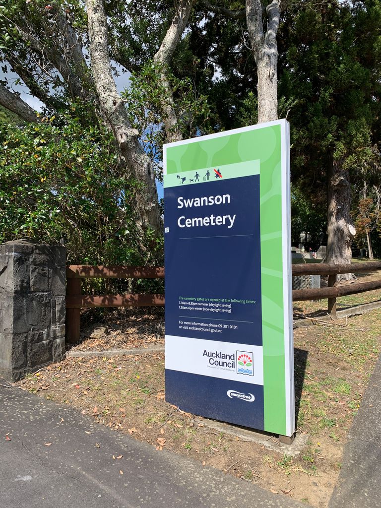
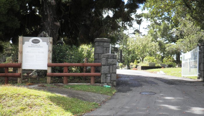
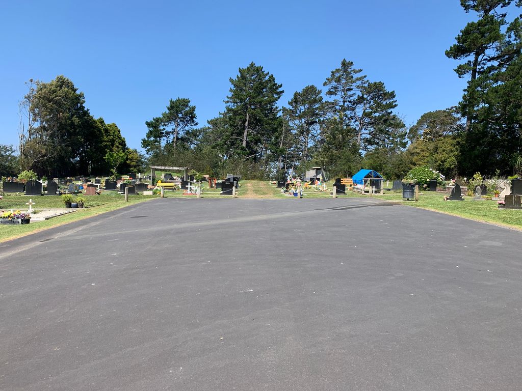
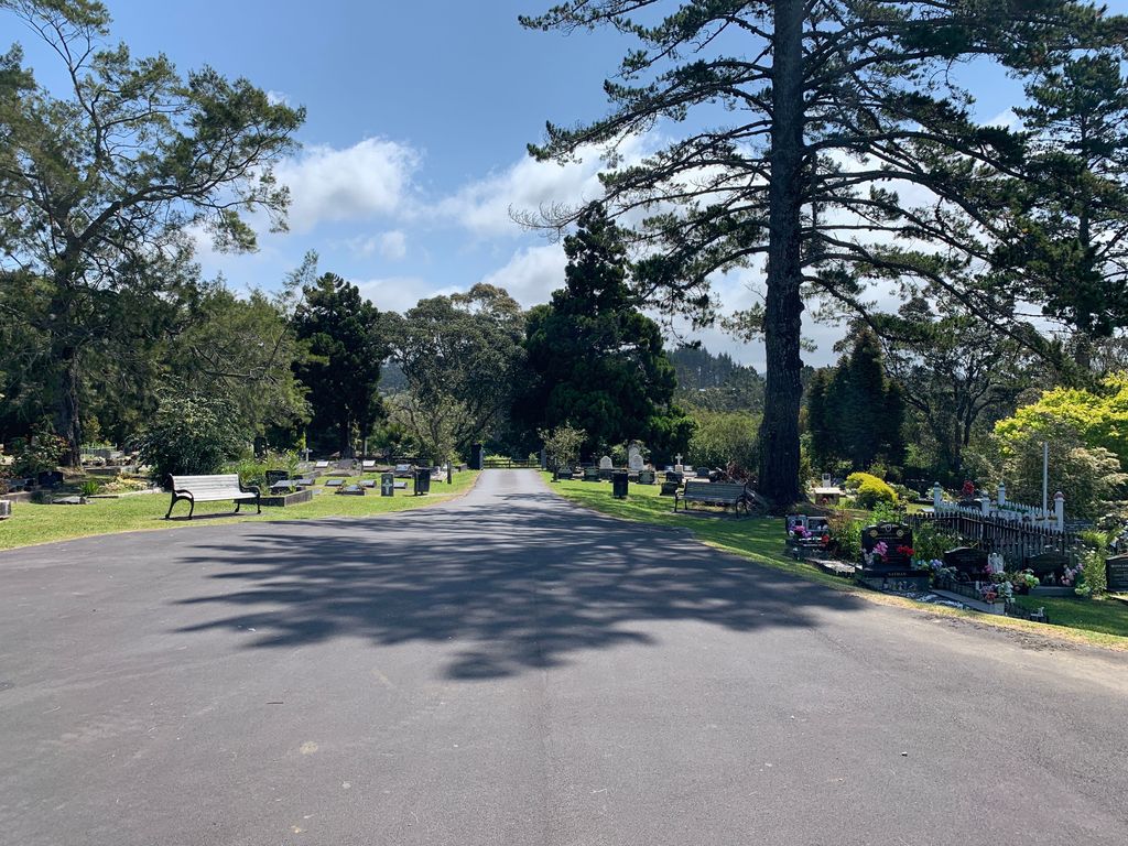
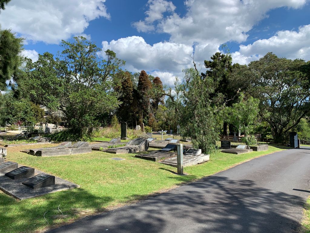
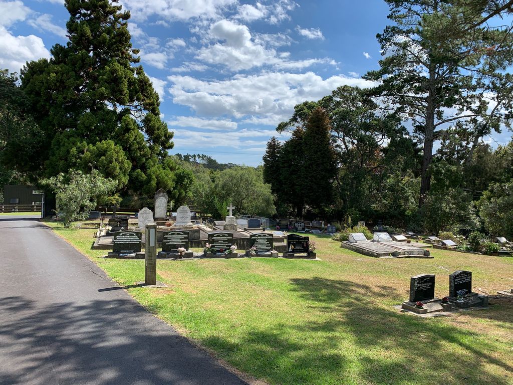
| Description | : | The cemetery is situated in O'Neills Road (previously named Cemetery Road), Swanson in a semi-rural area in the north west of Auckland City. The cemetery was opened in 1898 and was initially administered by a Board of Trustees. In the early 1920s, due to unsatisfactory management and record keeping, the administration was moved to the Waitemata County Council who became the Waitemata City Council. With the formation of the Auckland super city in 2010, the administration transferred to the Auckland City Council. The earliest death date recorded is 20 December 1897 (James Smith) and the cemetery is still in use... Read More |
frequently asked questions (FAQ):
-
Where is Swanson Cemetery?
Swanson Cemetery is located at Swanson, Auckland Council ,Auckland ,New Zealand.
-
Swanson Cemetery cemetery's updated grave count on graveviews.com?
529 memorials
-
Where are the coordinates of the Swanson Cemetery?
Latitude: -36.8718400
Longitude: 174.5836200
Nearby Cemetories:
1. Settlers Cemetery
Oratia, Auckland Council, New Zealand
Coordinate: -36.9108770, 174.6218870
2. Oratia Cemetery
Oratia, Auckland Council, New Zealand
Coordinate: -36.9108800, 174.6218900
3. Oratia Combined Church Cemetery
Oratia, Auckland Council, New Zealand
Coordinate: -36.9196396, 174.6119362
4. Waikumete Cemetery & Crematorium
Glen Eden, Auckland Council, New Zealand
Coordinate: -36.9025130, 174.6539610
5. Auckland Provincial Memorial
Glen Eden, Auckland Council, New Zealand
Coordinate: -36.9020700, 174.6548500
6. George Maxwell Memorial Cemetery
Avondale, Auckland Council, New Zealand
Coordinate: -36.8890320, 174.6849320
7. Kumeu Anglican Cemetery
Kumeu, Auckland Council, New Zealand
Coordinate: -36.7861800, 174.5500100
8. Hobsonville Church and Settlers' Cemetery
Hobsonville, Auckland Council, New Zealand
Coordinate: -36.8000500, 174.6551800
9. Saint Ninians Churchyard
Avondale, Auckland Council, New Zealand
Coordinate: -36.8994510, 174.6966690
10. St. Luke's Anglican Church Cemetery
Mount Albert, Auckland Council, New Zealand
Coordinate: -36.8785540, 174.7290400
11. Pompallier Cemetery
Birkenhead, Auckland Council, New Zealand
Coordinate: -36.8036900, 174.7251200
12. Birkenhead-Glenfield Cemetery
Birkenhead, Auckland Council, New Zealand
Coordinate: -36.7989000, 174.7234700
13. North Shore Memorial Park
Auckland, Auckland Council, New Zealand
Coordinate: -36.7545800, 174.6838900
14. Symonds Street Cemetery
Auckland, Auckland Council, New Zealand
Coordinate: -36.8582828, 174.7636628
15. Hillsborough Cemetery
Hillsborough, Auckland Council, New Zealand
Coordinate: -36.9246600, 174.7524030
16. Mount Eden Stockade Cemetery
Mount Eden, Auckland Council, New Zealand
Coordinate: -36.8678370, 174.7666430
17. Saint Andrew's Churchyard
Epsom, Auckland Council, New Zealand
Coordinate: -36.8937200, 174.7654100
18. Holy Trinity Cemetery
Silverdale, Auckland Council, New Zealand
Coordinate: -36.7429008, 174.6940822
19. St Mark's Anglican Church Cemetery
Remuera, Auckland Council, New Zealand
Coordinate: -36.8729300, 174.7801600
20. St. Stephen's Churchyard
Auckland, Auckland Council, New Zealand
Coordinate: -36.8504860, 174.7899970
21. Albany Village Cemetery
Albany, Auckland Council, New Zealand
Coordinate: -36.7298900, 174.6972700
22. St. Peter's Anglican Cemetery
Ōnehunga, Auckland Council, New Zealand
Coordinate: -36.9227113, 174.7847550
23. O'Neill's Point Cemetery
Belmont, Auckland Council, New Zealand
Coordinate: -36.8103002, 174.7812784
24. Royal New Zealand Navy Memorial
Devonport, Auckland Council, New Zealand
Coordinate: -36.8305900, 174.7898900

