
| Memorials | : | 0 |
| Location | : | Katie, Garvin County, USA |
| Coordinate | : | 34.5848600, -97.3338900 |
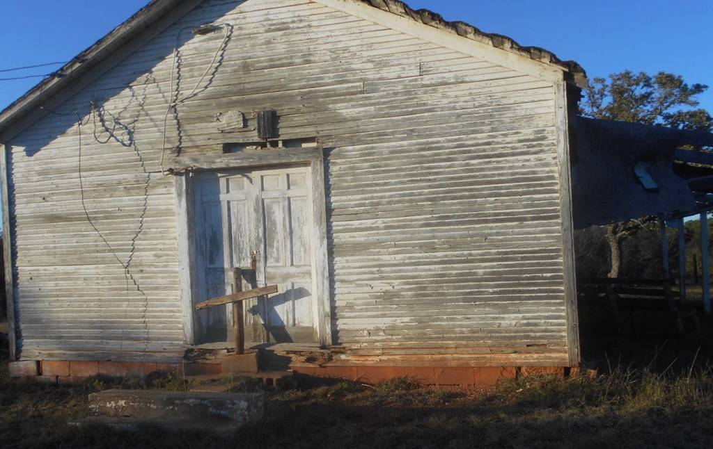
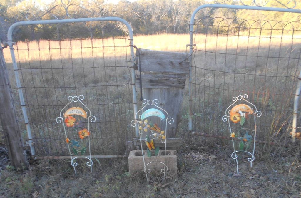
| Description | : | This is an African-American cemetery located about 1 mile east and 1/2 mile north of Katie. From the 4 way stop at Katie, drive west about 1 mile. You will come to where the road forks. One fork is paved and one is gravel. Take the paved fork. It will cross a small bridge just past the fork. Drive on west till you start uphill and before the top of the hill, turn north. This is the only road you can turn north on and there is a sign at the turn which says... Read More |
frequently asked questions (FAQ):
-
Where is Sweet Home Cemetery?
Sweet Home Cemetery is located at Katie, Garvin County ,Oklahoma ,USA.
-
Sweet Home Cemetery cemetery's updated grave count on graveviews.com?
0 memorials
-
Where are the coordinates of the Sweet Home Cemetery?
Latitude: 34.5848600
Longitude: -97.3338900
Nearby Cemetories:
1. Katie City Cemetery
Katie, Garvin County, USA
Coordinate: 34.5801400, -97.3538000
2. Five Mile Cemetery
Hennepin, Garvin County, USA
Coordinate: 34.5213585, -97.3167267
3. Elmore City Cemetery
Elmore City, Garvin County, USA
Coordinate: 34.6197014, -97.4210968
4. Old Five Mile Cemetery
Murray County, USA
Coordinate: 34.5005560, -97.3077780
5. Hennepin Cemetery
Hennepin, Garvin County, USA
Coordinate: 34.4914017, -97.3443985
6. Fort Arbuckle Cemetery
Washita, Murray County, USA
Coordinate: 34.5208330, -97.2472220
7. Little Flock Cemetery
Elmore City, Garvin County, USA
Coordinate: 34.5667400, -97.4564000
8. Klondike Cemetery
Pauls Valley, Garvin County, USA
Coordinate: 34.6711006, -97.2589035
9. Wynnewood View Cemetery
Garvin County, USA
Coordinate: 34.5787930, -97.1955940
10. Oil Spring Cemetery
Tatums, Carter County, USA
Coordinate: 34.4897003, -97.4124985
11. Wyatt Chapel Cemetery
Foster, Garvin County, USA
Coordinate: 34.5699043, -97.4765396
12. Foster Cemetery
Foster, Garvin County, USA
Coordinate: 34.6039009, -97.4935989
13. Oak Ridge Cemetery
Garvin County, USA
Coordinate: 34.5127983, -97.1921997
14. Howell Cemetery
Garvin County, USA
Coordinate: 34.5080986, -97.1735992
15. Oaklawn Cemetery
Wynnewood, Garvin County, USA
Coordinate: 34.6347008, -97.1575012
16. State School Cemetery
Pauls Valley, Garvin County, USA
Coordinate: 34.7022018, -97.2050018
17. Antioch Cemetery
Antioch, Garvin County, USA
Coordinate: 34.7277985, -97.4175034
18. Wheeler Flats Cemetery
Murray County, USA
Coordinate: 34.5614014, -97.1399994
19. Mount Olivet Cemetery
Pauls Valley, Garvin County, USA
Coordinate: 34.7127991, -97.2102966
20. Tatums Cemetery
Tatums, Carter County, USA
Coordinate: 34.4674988, -97.4738998
21. Robberson Cemetery
Garvin County, USA
Coordinate: 34.5477982, -97.5302963
22. Dripping Springs Cemetery
Pernell, Garvin County, USA
Coordinate: 34.5161018, -97.5177994
23. Pooleville Cemetery
Pooleville, Carter County, USA
Coordinate: 34.4258003, -97.3996964
24. Bethlehem Cemetery
Pauls Valley, Garvin County, USA
Coordinate: 34.7196999, -97.2097015