
| Memorials | : | 6 |
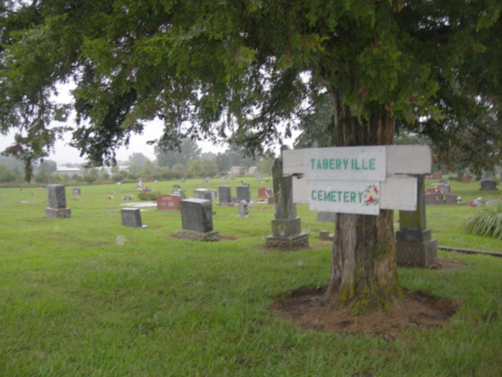
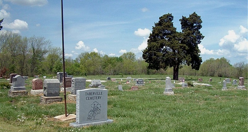
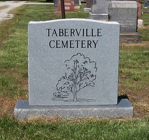
| Location | : | Taberville, St. Clair County, USA |
| Coordinate | : | 38.0181007, -93.9953003 |
frequently asked questions (FAQ):
-
Where is Taberville Cemetery?
Taberville Cemetery is located at Taberville, St. Clair County ,Missouri ,USA.
-
Taberville Cemetery cemetery's updated grave count on graveviews.com?
6 memorials
-
Where are the coordinates of the Taberville Cemetery?
Latitude: 38.0181007
Longitude: -93.9953003
Nearby Cemetories:
1. Good Cemetery
St. Clair County, USA
Coordinate: 38.0167007, -93.9681015
2. Pleasant Grove Baptist Church Cemetery
Taberville, St. Clair County, USA
Coordinate: 37.9855499, -94.0056992
3. Ruark Cemetery
St. Clair County, USA
Coordinate: 37.9825211, -93.9615173
4. Mount Zion Cemetery
Appleton City, St. Clair County, USA
Coordinate: 38.0518799, -93.9313507
5. Short Cemetery
St. Clair County, USA
Coordinate: 38.0797005, -93.9464035
6. Rockville Cemetery
Rockville, Bates County, USA
Coordinate: 38.0647011, -94.0663986
7. Ditty Cemetery
St. Clair County, USA
Coordinate: 38.0908012, -93.9664001
8. Daller Cemetery
St. Clair County, USA
Coordinate: 38.0988998, -93.9664001
9. Schoonaver Cemetery
St. Clair County, USA
Coordinate: 38.0374985, -93.8846970
10. Union Point Cemetery
Tiffin, St. Clair County, USA
Coordinate: 37.9425011, -93.9310989
11. Bean Cemetery
Appleton City, St. Clair County, USA
Coordinate: 38.0960999, -93.9325027
12. Ridgeway Cemetery
St. Clair County, USA
Coordinate: 38.1114006, -93.9931030
13. Kennerly Cemetery
St. Clair County, USA
Coordinate: 37.9399986, -93.9152985
14. Spring Grove Cemetery
St. Clair County, USA
Coordinate: 38.1250000, -94.0066986
15. Pleasant Springs Cemetery
Oyer, St. Clair County, USA
Coordinate: 37.9599991, -93.8707962
16. Parks Cemetery
St. Clair County, USA
Coordinate: 38.0797005, -93.8647003
17. Meyers Cemetery
Rockville, Bates County, USA
Coordinate: 38.1193650, -94.0815930
18. Monegaw Springs Cemetery
Monegaw Springs, St. Clair County, USA
Coordinate: 38.0268300, -93.8367800
19. Martin Cemetery
El Dorado Springs, Cedar County, USA
Coordinate: 37.8936005, -94.0250015
20. Lewellen Cemetery
St. Clair County, USA
Coordinate: 38.1119003, -93.8767014
21. Harmony Church Cemetery
St. Clair County, USA
Coordinate: 38.1249199, -93.8898163
22. El Dorado Springs Cemetery
El Dorado Springs, Cedar County, USA
Coordinate: 37.8842010, -94.0286026
23. Benton Green Cemetery
Roscoe, St. Clair County, USA
Coordinate: 38.0141983, -93.8167038
24. Lebeck Cemetery
Cedar County, USA
Coordinate: 37.8890600, -93.9149200