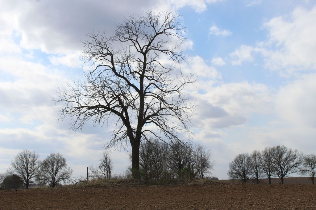
| Memorials | : | 0 |
| Location | : | Willeys, Christian County, USA |
| Coordinate | : | 39.5967354, -89.2058461 |
| Description | : | The cemetery is located about 1000 feet north of E 1685 North Road. The U.S. Geological Survey (USGS) Geographic Names Information System (GNIS) feature ID for the cemetery is 1747936 (Tanner Cemetery). |
frequently asked questions (FAQ):
-
Where is Tanner Cemetery?
Tanner Cemetery is located at E 1685 North Road Willeys, Christian County ,Illinois , 62568USA.
-
Tanner Cemetery cemetery's updated grave count on graveviews.com?
0 memorials
-
Where are the coordinates of the Tanner Cemetery?
Latitude: 39.5967354
Longitude: -89.2058461
Nearby Cemetories:
1. Ponting Cemetery
Stonington, Christian County, USA
Coordinate: 39.6146000, -89.1960000
2. Harris Cemetery
Christian County, USA
Coordinate: 39.5657997, -89.2099991
3. Old Stonington Cemetery
Stonington, Christian County, USA
Coordinate: 39.6199989, -89.1603012
4. Glen Haven Memorial Gardens
Taylorville, Christian County, USA
Coordinate: 39.5675350, -89.2592840
5. Fraley Cemetery
Taylorville, Christian County, USA
Coordinate: 39.5505981, -89.2356033
6. Long Cemetery
Christian County, USA
Coordinate: 39.5546989, -89.1477966
7. Goode Cemetery
Taylorville, Christian County, USA
Coordinate: 39.5233270, -89.1908540
8. Mount Zion Cemetery
Stonington, Christian County, USA
Coordinate: 39.6697006, -89.2391968
9. Oak Hill Cemetery
Taylorville, Christian County, USA
Coordinate: 39.5410995, -89.2899780
10. Bilyeu Cemetery
Prairieton Township, Christian County, USA
Coordinate: 39.6253014, -89.0832977
11. Young-Denton Cemetery
Taylorville, Christian County, USA
Coordinate: 39.5294910, -89.3064785
12. Pleasant View Cemetery
Pleasant View Township, Macon County, USA
Coordinate: 39.6777992, -89.1219025
13. Kay the Elephant Burial Site
Taylorville, Christian County, USA
Coordinate: 39.5177994, -89.2973022
14. Bethel Cemetery
Sharpsburg, Christian County, USA
Coordinate: 39.6285320, -89.3466140
15. Owaneco Cemetery
Owaneco, Christian County, USA
Coordinate: 39.4796820, -89.1948570
16. Adams Gorden Cemetery
Christian County, USA
Coordinate: 39.6511002, -89.0706024
17. Buckhart Reformed Church Cemetery
Christian County, USA
Coordinate: 39.6847100, -89.3116700
18. Donner Cemetery
Owaneco, Christian County, USA
Coordinate: 39.4792044, -89.2373039
19. Langleyville Cemetery
Langleyville, Christian County, USA
Coordinate: 39.5622190, -89.3587970
20. Jacobs Cemetery
Christian County, USA
Coordinate: 39.6315400, -89.0505900
21. Grove City Methodist Church Cemetery
Grove City, Christian County, USA
Coordinate: 39.7069435, -89.2927780
22. Hayes Cemetery
Christian County, USA
Coordinate: 39.6105995, -89.0382996
23. Walnut Hill Cemetery
Sharpsburg, Christian County, USA
Coordinate: 39.6120110, -89.3766970
24. Old Walnut Hill Cemetery
Sharpsburg, Christian County, USA
Coordinate: 39.6091800, -89.3786250

