| Memorials | : | 0 |
| Location | : | Knoxville, Ray County, USA |
| Coordinate | : | 39.4233870, -94.0399300 |
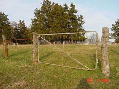
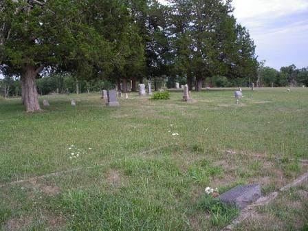
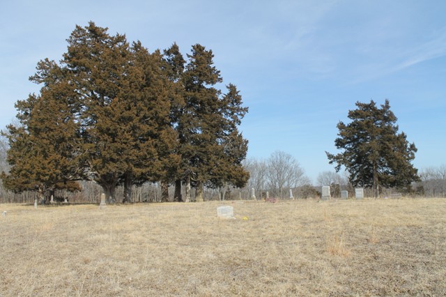
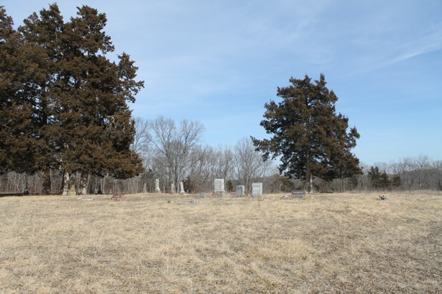
| Description | : | Directions: Turn north from Fire Branch Road onto Teegarden Road. Located at the end of Teegarden Road on the top of a steep hill. Location is 3 miles west of Knoxville, Missouri. |
frequently asked questions (FAQ):
-
Where is Teegarden Cemetery?
Teegarden Cemetery is located at Knoxville, Ray County ,Missouri ,USA.
-
Teegarden Cemetery cemetery's updated grave count on graveviews.com?
0 memorials
-
Where are the coordinates of the Teegarden Cemetery?
Latitude: 39.4233870
Longitude: -94.0399300
Nearby Cemetories:
1. Knoxville Cemetery
Knoxville, Ray County, USA
Coordinate: 39.4451100, -94.0216300
2. Wiley Mayes Cemetery
Richmond, Ray County, USA
Coordinate: 39.4511300, -94.0388600
3. Julius Maddux Cemetery
Millville, Ray County, USA
Coordinate: 39.3922005, -94.0306015
4. Kincaid Cemetery
Knoxville, Ray County, USA
Coordinate: 39.4247017, -93.9847031
5. Van Wall Cemetery
Ray County, USA
Coordinate: 39.4078140, -93.9830627
6. Joiner Family Cemetery
Knoxville, Ray County, USA
Coordinate: 39.3880100, -94.0820200
7. Bower Cemetery
Knoxville, Ray County, USA
Coordinate: 39.4095383, -94.0997009
8. Thomson Cemetery
Lawson, Ray County, USA
Coordinate: 39.4639015, -94.0828018
9. Atkins Cemetery
Lawson, Ray County, USA
Coordinate: 39.4055595, -94.1063156
10. Robert Manley Family Cemetery
Richmond, Ray County, USA
Coordinate: 39.3756900, -93.9969400
11. Mayes Cemetery
Richmond, Ray County, USA
Coordinate: 39.4752998, -94.0772018
12. Zimmerman Cemetery
Lawson, Ray County, USA
Coordinate: 39.4666700, -94.0926500
13. Old Union Cemetery
Lawson, Ray County, USA
Coordinate: 39.4166756, -94.1221619
14. Adams Family Cemetery
Ray County, USA
Coordinate: 39.4646260, -93.9765350
15. Belt Cemetery
Millville, Ray County, USA
Coordinate: 39.4014100, -93.9613000
16. Gorham Cemetery
Knoxville, Ray County, USA
Coordinate: 39.4011002, -93.9608002
17. Bethel Cemetery
Knoxville, Ray County, USA
Coordinate: 39.4893608, -94.0402985
18. Van Bebber Cemetery
Knoxville, Ray County, USA
Coordinate: 39.4447327, -93.9577179
19. Rainwater Cemetery
Richmond, Ray County, USA
Coordinate: 39.4794800, -93.9911300
20. McGaugh Cemetery
Rayville, Ray County, USA
Coordinate: 39.3608017, -94.0849991
21. Absolem McDonald Cemetery
Lawson, Ray County, USA
Coordinate: 39.3610992, -93.9841995
22. Dockery Cemetery
Dockery, Ray County, USA
Coordinate: 39.3612860, -93.9837620
23. Hyder Cemetery
Lawson, Ray County, USA
Coordinate: 39.4557200, -94.1314500
24. Gant Cemetery
Rayville, Ray County, USA
Coordinate: 39.3548393, -94.0880280


