
| Memorials | : | 3 |
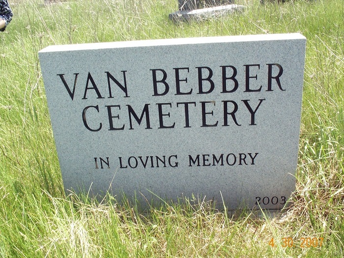
| Location | : | Knoxville, Ray County, USA |
| Coordinate | : | 39.4447327, -93.9577179 |
| Description | : | Located three miles east of Knoxville on HH Hwy, (which becomes E 192nd Str, when blacktop ends) to St. Paul Church. Go south through a gate and go one half mile. The cemetery is in the middle of a pasture. The cemetery is fenced so the cows can't get in. |
frequently asked questions (FAQ):
-
Where is Van Bebber Cemetery?
Van Bebber Cemetery is located at Knoxville, Ray County ,Missouri ,USA.
-
Van Bebber Cemetery cemetery's updated grave count on graveviews.com?
3 memorials
-
Where are the coordinates of the Van Bebber Cemetery?
Latitude: 39.4447327
Longitude: -93.9577179
Nearby Cemetories:
1. Adams Family Cemetery
Ray County, USA
Coordinate: 39.4646260, -93.9765350
2. Kincaid Cemetery
Knoxville, Ray County, USA
Coordinate: 39.4247017, -93.9847031
3. Moyer Cemetery
Ray County, USA
Coordinate: 39.4244100, -93.9224100
4. Van Wall Cemetery
Grape Grove Township, Ray County, USA
Coordinate: 39.4513800, -93.9116700
5. Felix Wild Cemetery
Ray County, USA
Coordinate: 39.4398200, -93.9110700
6. Petree Cemetery
Taitsville, Ray County, USA
Coordinate: 39.4781700, -93.9315100
7. Sylar Cemetery
Knoxville, Ray County, USA
Coordinate: 39.4827600, -93.9700200
8. Silar Cemetery
Ray County, USA
Coordinate: 39.4831009, -93.9697037
9. Antioch Cemetery
Millville, Ray County, USA
Coordinate: 39.4563040, -93.9077420
10. Van Wall Cemetery
Ray County, USA
Coordinate: 39.4078140, -93.9830627
11. Rainwater Cemetery
Richmond, Ray County, USA
Coordinate: 39.4794800, -93.9911300
12. Belt Cemetery
Millville, Ray County, USA
Coordinate: 39.4014100, -93.9613000
13. Gorham Cemetery
Knoxville, Ray County, USA
Coordinate: 39.4011002, -93.9608002
14. Millville Community Cemetery
Millville, Ray County, USA
Coordinate: 39.4041100, -93.9351600
15. Yoakum Cemetery
Richmond, Ray County, USA
Coordinate: 39.4909100, -93.9380500
16. Knoxville Cemetery
Knoxville, Ray County, USA
Coordinate: 39.4451100, -94.0216300
17. Petty Cemetery
Knoxville, Ray County, USA
Coordinate: 39.4944000, -93.9749985
18. Bethel Mennonite Church Cemetery
Richmond, Ray County, USA
Coordinate: 39.3936900, -93.9330400
19. Nuckles Cemetery
Richmond, Ray County, USA
Coordinate: 39.4143700, -93.8950300
20. Wiley Mayes Cemetery
Richmond, Ray County, USA
Coordinate: 39.4511300, -94.0388600
21. Mansur Cemetery
Grape Grove Township, Ray County, USA
Coordinate: 39.4230003, -93.8804016
22. Teegarden Cemetery
Knoxville, Ray County, USA
Coordinate: 39.4233870, -94.0399300
23. Linvill Cemetery
Richmond, Ray County, USA
Coordinate: 39.5083700, -93.9975600
24. Pleasant Hill Cemetery
Richmond, Ray County, USA
Coordinate: 39.5166040, -93.9469240