
| Memorials | : | 8 |
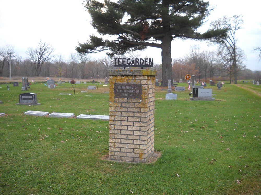
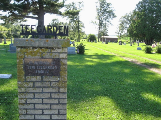
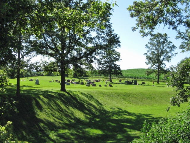
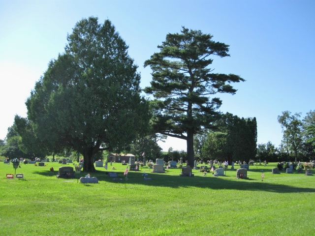
| Location | : | Knapp, Dunn County, USA |
| Coordinate | : | 44.9406013, -92.0242004 |
| Description | : | Directions from Knapp: Head east on U.S. Highway 12 for three miles. Turn left (north) on 271st Street. Cross railroad tracks. Cemetery on left. Directions from Menomonie: Head west on U.S. Highway 12 for 5.6 miles. Turn right (north) on 271st Street. Cross railroad tracks. Cemetery on left. |
frequently asked questions (FAQ):
-
Where is Teegarden Cemetery?
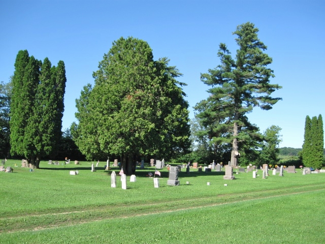
Teegarden Cemetery is located at 271st Street & U.S. Highway 12 Knapp, Dunn County ,Wisconsin ,USA.
-
Teegarden Cemetery cemetery's updated grave count on graveviews.com?
7 memorials
-
Where are the coordinates of the Teegarden Cemetery?
Latitude: 44.9406013
Longitude: -92.0242004
Nearby Cemetories:
1. Forest Hill Cemetery
Knapp, Dunn County, USA
Coordinate: 44.9488983, -92.0475006
2. Tramway Cemetery
Menomonie, Dunn County, USA
Coordinate: 44.9296989, -92.0006027
3. Mamre Cemetery
Menomonie, Dunn County, USA
Coordinate: 44.8796997, -92.0049973
4. Highland Cemetery
Menomonie, Dunn County, USA
Coordinate: 44.9235992, -91.9347000
5. Christ Lutheran Halvorson Cemetery
Menomonie, Dunn County, USA
Coordinate: 44.9127998, -91.9297028
6. Sherman Cemetery
Wheeler, Dunn County, USA
Coordinate: 44.9878006, -91.9458008
7. Lucas Cemetery
Hatchville, Dunn County, USA
Coordinate: 44.8869019, -92.0967026
8. Ford Cemetery
Menomonie, Dunn County, USA
Coordinate: 44.8718987, -91.9753036
9. Ridgeroad Cemetery
Menomonie, Dunn County, USA
Coordinate: 44.8638992, -91.9863968
10. Irvine Creek Cemetery
Irvington, Dunn County, USA
Coordinate: 44.8513985, -92.0061035
11. Faith Church Cemetery
Menomonie, Dunn County, USA
Coordinate: 44.9196050, -91.8974710
12. Evergreen Cemetery
Menomonie, Dunn County, USA
Coordinate: 44.8888000, -91.9122000
13. First Congregational UCC Columbarium
Menomonie, Dunn County, USA
Coordinate: 44.8752100, -91.9249900
14. Saint Josephs Cemetery
Menomonie, Dunn County, USA
Coordinate: 44.8835983, -91.9150009
15. Tiffany Cemetery
Boyceville, Dunn County, USA
Coordinate: 45.0416985, -92.0607986
16. Saint Bridget Cemetery
Wilson, St. Croix County, USA
Coordinate: 44.9592018, -92.1778030
17. Wilson Lutheran Church Cemetery
Wilson, St. Croix County, USA
Coordinate: 44.9154500, -92.1762200
18. Cedar Falls Cemetery
Cedar Falls, Dunn County, USA
Coordinate: 44.9247017, -91.8656006
19. Saint Pauls Cemetery
Menomonie, Dunn County, USA
Coordinate: 44.8532982, -91.9199982
20. Peace Lutheran Cemetery
Menomonie, Dunn County, USA
Coordinate: 44.8502998, -91.9152985
21. Our Saviors Lutheran Cemetery
Wheeler, Dunn County, USA
Coordinate: 45.0381012, -91.9250031
22. Potters Field Cemetery
Menomonie, Dunn County, USA
Coordinate: 44.8898900, -91.8701000
23. Mound Cemetery
Downing, Dunn County, USA
Coordinate: 45.0466995, -92.1166992
24. Saint Johns Cemetery
Irvington, Dunn County, USA
Coordinate: 44.8182983, -91.9832993