
| Memorials | : | 108 |
| Location | : | Ansonia, Darke County, USA |
| Coordinate | : | 40.2212219, -84.7005997 |
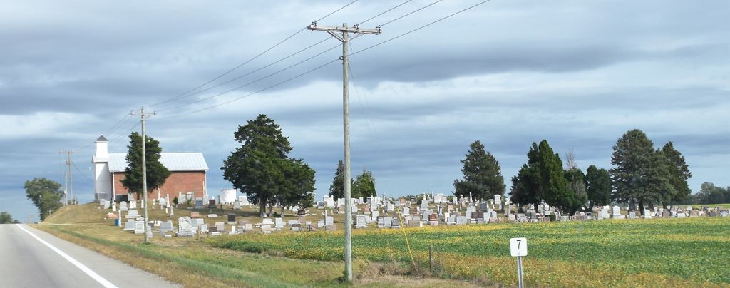
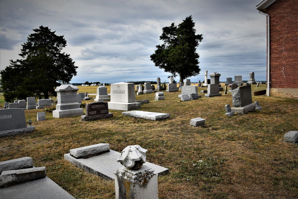
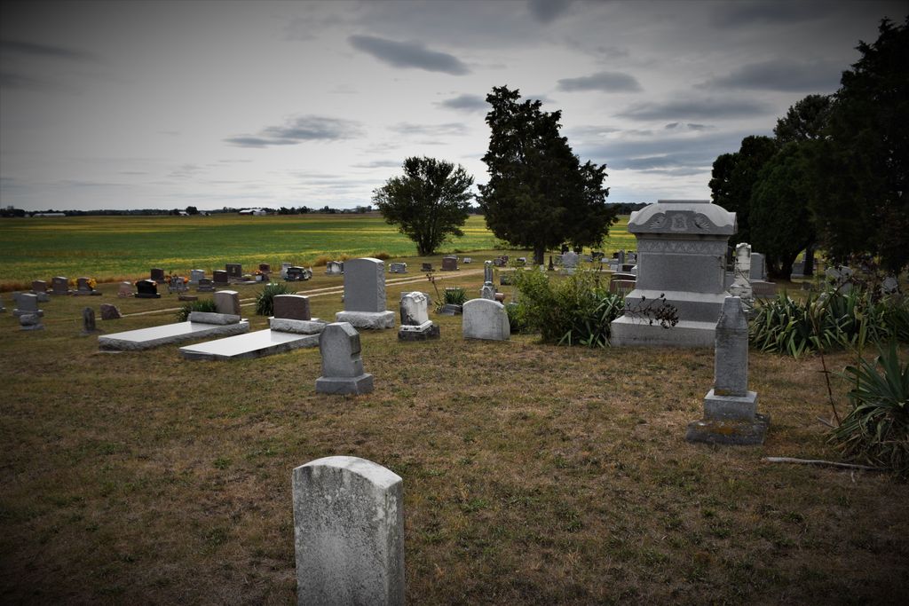
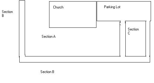
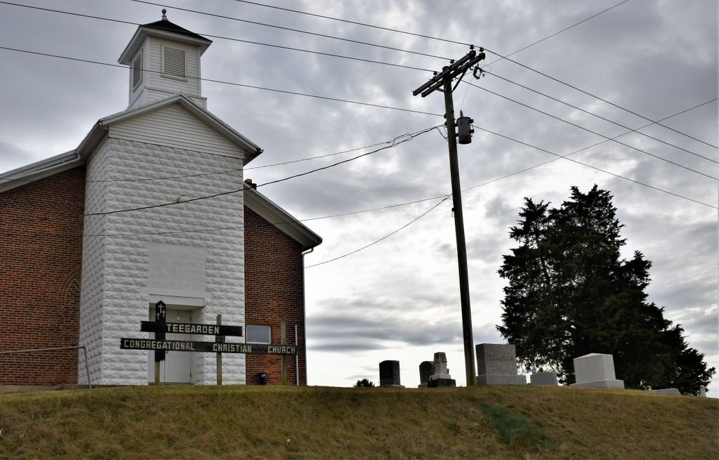
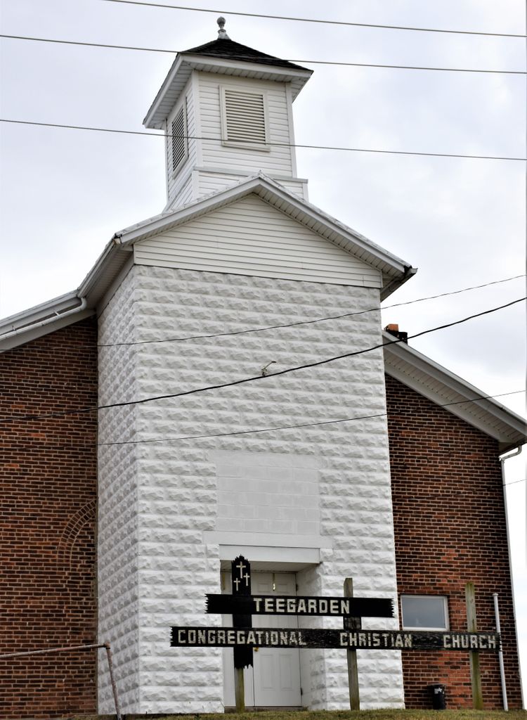
| Description | : | The cemetery is located on the south side of Ohio State Route 47 about 0.5 miles west of its intersection with Ohio State Route 49. The cemetery is located in Brown Township, Darke County, Ohio, and is # 2687 (New Teagarden Cemetery) in “Ohio Cemeteries 1803-2003”, compiled by the Ohio Genealogical Society. The cemetery is registered with the Ohio Division of Real Estate and Professional Licensing (ODRE) as Teagarden Cemetery with registration license number CGR.0000982323. The U.S. Geological Survey (USGS) Geographic Names Information System (GNIS) feature ID for the cemetery is 1806181 (New Teagarden Cemetery). |
frequently asked questions (FAQ):
-
Where is Teegarden Congregational Christian Church Cemetery?
Teegarden Congregational Christian Church Cemetery is located at 2753 Ohio State Route 47 Ansonia, Darke County ,Ohio , 45303USA.
-
Teegarden Congregational Christian Church Cemetery cemetery's updated grave count on graveviews.com?
108 memorials
-
Where are the coordinates of the Teegarden Congregational Christian Church Cemetery?
Latitude: 40.2212219
Longitude: -84.7005997
Nearby Cemetories:
1. Strait Cemetery
Ansonia, Darke County, USA
Coordinate: 40.2290450, -84.7091110
2. Duvall Graveyard
Ansonia, Darke County, USA
Coordinate: 40.2190640, -84.6784420
3. Old Teegarden Cemetery
Woodington, Darke County, USA
Coordinate: 40.2069016, -84.6881027
4. Beeler Cemetery
Ansonia, Darke County, USA
Coordinate: 40.2208809, -84.6366234
5. Old Ansonia Cemetery
Ansonia, Darke County, USA
Coordinate: 40.2164536, -84.6365662
6. Bethel Cemetery
Greenville Township, Darke County, USA
Coordinate: 40.1657982, -84.6919022
7. McFarland Cemetery
Darke County, USA
Coordinate: 40.2210999, -84.7771988
8. Webster Cemetery
Rossburg, Darke County, USA
Coordinate: 40.2792015, -84.6757965
9. Ansonia Cemetery
Ansonia, Darke County, USA
Coordinate: 40.2139015, -84.6183014
10. Zerby Cemetery
Rossburg, Darke County, USA
Coordinate: 40.2858009, -84.6896973
11. Hoschover Cemetery
Rossburg, Darke County, USA
Coordinate: 40.2630997, -84.6333008
12. Snell Cemetery
Hill Grove, Darke County, USA
Coordinate: 40.1685982, -84.7564011
13. Hillgrove Cemetery
Hill Grove, Darke County, USA
Coordinate: 40.1793890, -84.7709680
14. Greenville Township Memorial Gardens
Greenville, Darke County, USA
Coordinate: 40.1708832, -84.6357880
15. Kershner Cemetery
York Township, Darke County, USA
Coordinate: 40.2325860, -84.6070750
16. Parent Cemetery
Union City, Darke County, USA
Coordinate: 40.1911354, -84.7887878
17. Raper Chapel Cemetery
Darke County, USA
Coordinate: 40.2675460, -84.7774610
18. Newcomer Cemetery
Pikeville, Darke County, USA
Coordinate: 40.1581001, -84.6374969
19. Rush Station Cemetery
Greenville, Darke County, USA
Coordinate: 40.1413890, -84.6966670
20. Brick Memorial Park Cemetery
Union City, Randolph County, USA
Coordinate: 40.2249985, -84.8058014
21. Kaucher Family Cemetery
Hill Grove, Darke County, USA
Coordinate: 40.1511110, -84.7658330
22. Beanblossom Cemetery
Beamsville, Darke County, USA
Coordinate: 40.1899390, -84.5955740
23. Emanuel Cemetery
Coletown, Darke County, USA
Coordinate: 40.1293983, -84.7069016
24. Crickbaum Cemetery
Greenville, Darke County, USA
Coordinate: 40.1288850, -84.6937660