
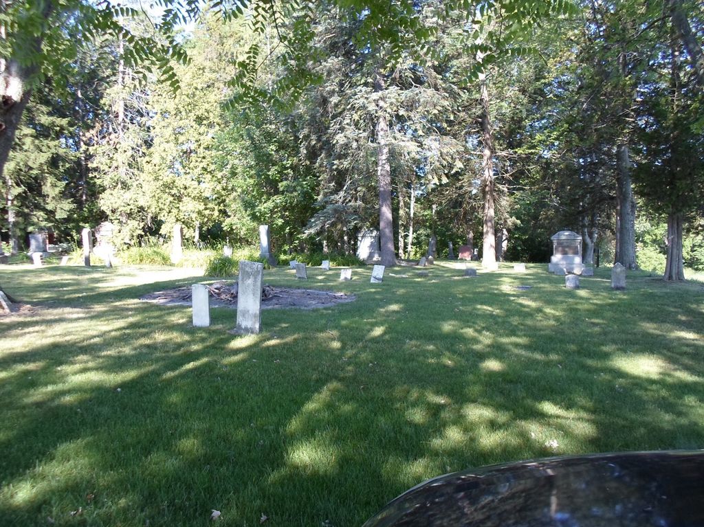
| Memorials | : | 2 |
| Location | : | Williams County, USA |
| Coordinate | : | 41.4769100, -84.6994240 |
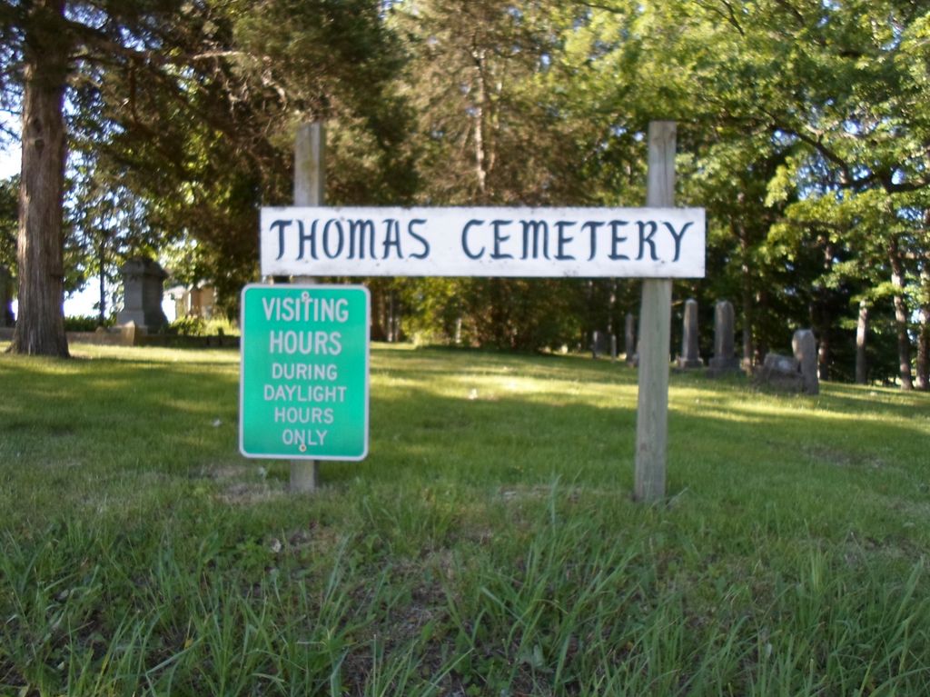
| Description | : | Thomas Cemetery is on Co. Rd. D-50 west of Co. Rd. 7 northeast of Edgerton. |
frequently asked questions (FAQ):
-
Where is Thomas Cemetery?
Thomas Cemetery is located at Saint Joseph Twp Williams County ,Ohio ,USA.
-
Thomas Cemetery cemetery's updated grave count on graveviews.com?
2 memorials
-
Where are the coordinates of the Thomas Cemetery?
Latitude: 41.4769100
Longitude: -84.6994240
Nearby Cemetories:
1. West Buffalo Cemetery
Blakeslee, Williams County, USA
Coordinate: 41.5135994, -84.6956024
2. Hepker Cemetery
Blakeslee, Williams County, USA
Coordinate: 41.5136620, -84.6707873
3. Melbern-Neihardt Cemetery
Melbern, Williams County, USA
Coordinate: 41.4633600, -84.6416330
4. Yackee Cemetery
Williams County, USA
Coordinate: 41.4707985, -84.6324997
5. Zion Lutheran Church Cemetery
Defiance County, USA
Coordinate: 41.4261017, -84.7099991
6. Maple Grove Cemetery
Edgerton, Williams County, USA
Coordinate: 41.4435997, -84.7521973
7. St. Mary's Cemetery
Edgerton, Williams County, USA
Coordinate: 41.4441120, -84.7542700
8. Skelton Cemetery
Edgerton, Williams County, USA
Coordinate: 41.4646380, -84.7728980
9. Saint Joseph Catholic Cemetery
Blakeslee, Williams County, USA
Coordinate: 41.5346985, -84.7300034
10. Tamarack Cemetery
Milford Township, Defiance County, USA
Coordinate: 41.4117012, -84.7089005
11. Fetters Cemetery
Williams County, USA
Coordinate: 41.4519500, -84.6159900
12. Clarksville Cemetery
Edgerton, Williams County, USA
Coordinate: 41.4281006, -84.7677994
13. Union Chapel Cemetery
Montpelier, Williams County, USA
Coordinate: 41.5424995, -84.6568985
14. Lee Family Graveyard
Montpelier, Williams County, USA
Coordinate: 41.5470300, -84.6669400
15. Farnham Cemetery
Williams County, USA
Coordinate: 41.4664001, -84.8003006
16. Brown Cemetery
Bryan, Williams County, USA
Coordinate: 41.4822006, -84.5935974
17. Williams Center Cemetery
Williams Center, Williams County, USA
Coordinate: 41.4288902, -84.6125031
18. Lick Creek Cemetery
Bryan, Williams County, USA
Coordinate: 41.5135994, -84.5927963
19. Edon Cemetery
Edon, Williams County, USA
Coordinate: 41.5521660, -84.7689819
20. Upper Lost Creek Cemetery
Farmer, Defiance County, USA
Coordinate: 41.3840000, -84.6700000
21. Farmer Cemetery
Farmer, Defiance County, USA
Coordinate: 41.3903008, -84.6410980
22. West Bethesda Cemetery
West Jefferson, Williams County, USA
Coordinate: 41.5422700, -84.5941200
23. Kemp Cemetery
Defiance County, USA
Coordinate: 41.3703003, -84.6802979
24. Mary Bechtol Gravesite
Montpelier, Williams County, USA
Coordinate: 41.5575900, -84.6034900