
| Memorials | : | 3 |
| Location | : | Williams County, USA |
| Coordinate | : | 41.4519500, -84.6159900 |
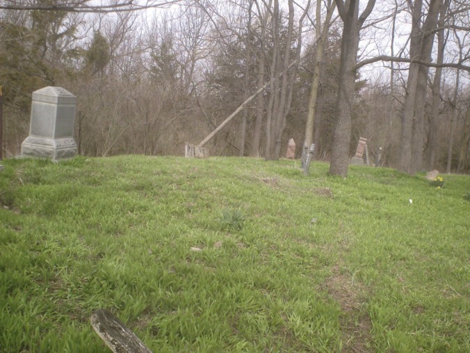
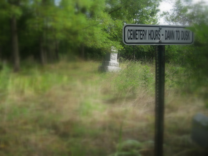
| Description | : | Location: Section 27, Center Township, Williams Co. Ohio. There is no access to the cemetery except through a field about 1/4 mile west of Rte. 576 and approximately 3/4 mile north of U.S. Rte 6. The cemetery was originally a burial plot of the Fetters family but was also used by their close neighbors. Neglected for many years, the cemetery was cleaned up under the direction of the Center twp. trustees in 1989. Many of the stones in the cemetery are broken and scattered and some stones are unreadible. |
frequently asked questions (FAQ):
-
Where is Fetters Cemetery?
Fetters Cemetery is located at Williams County ,Ohio ,USA.
-
Fetters Cemetery cemetery's updated grave count on graveviews.com?
3 memorials
-
Where are the coordinates of the Fetters Cemetery?
Latitude: 41.4519500
Longitude: -84.6159900

Nearby Cemetories:
1. Melbern-Neihardt Cemetery
Melbern, Williams County, USA
Coordinate: 41.4633600, -84.6416330
2. Yackee Cemetery
Williams County, USA
Coordinate: 41.4707985, -84.6324997
3. Williams Center Cemetery
Williams Center, Williams County, USA
Coordinate: 41.4288902, -84.6125031
4. Brown Cemetery
Bryan, Williams County, USA
Coordinate: 41.4822006, -84.5935974
5. Fountain Grove Cemetery
Bryan, Williams County, USA
Coordinate: 41.4572182, -84.5480576
6. Lick Creek Cemetery
Bryan, Williams County, USA
Coordinate: 41.5135994, -84.5927963
7. Farmer Cemetery
Farmer, Defiance County, USA
Coordinate: 41.3903008, -84.6410980
8. Thomas Cemetery
Williams County, USA
Coordinate: 41.4769100, -84.6994240
9. Hepker Cemetery
Blakeslee, Williams County, USA
Coordinate: 41.5136620, -84.6707873
10. Zion Lutheran Church Cemetery
Defiance County, USA
Coordinate: 41.4261017, -84.7099991
11. Trinity Lutheran Cemetery
Ney, Defiance County, USA
Coordinate: 41.4016991, -84.5353012
12. Upper Lost Creek Cemetery
Farmer, Defiance County, USA
Coordinate: 41.3840000, -84.6700000
13. Tamarack Cemetery
Milford Township, Defiance County, USA
Coordinate: 41.4117012, -84.7089005
14. West Buffalo Cemetery
Blakeslee, Williams County, USA
Coordinate: 41.5135994, -84.6956024
15. West Bethesda Cemetery
West Jefferson, Williams County, USA
Coordinate: 41.5422700, -84.5941200
16. Ney Cemetery
Ney, Defiance County, USA
Coordinate: 41.3856010, -84.5271988
17. Lintz Cemetery
Ney, Defiance County, USA
Coordinate: 41.3760986, -84.5402985
18. Kemp Cemetery
Defiance County, USA
Coordinate: 41.3703003, -84.6802979
19. Union Chapel Cemetery
Montpelier, Williams County, USA
Coordinate: 41.5424995, -84.6568985
20. Old Pulaski Cemetery
Williams County, USA
Coordinate: 41.5135994, -84.5119019
21. Beaver Creek Cemetery
Williams County, USA
Coordinate: 41.4808006, -84.4858017
22. Maple Grove Cemetery
Edgerton, Williams County, USA
Coordinate: 41.4435997, -84.7521973
23. Lee Family Graveyard
Montpelier, Williams County, USA
Coordinate: 41.5470300, -84.6669400
24. Doud Cemetery
Ney, Defiance County, USA
Coordinate: 41.3811680, -84.5161110