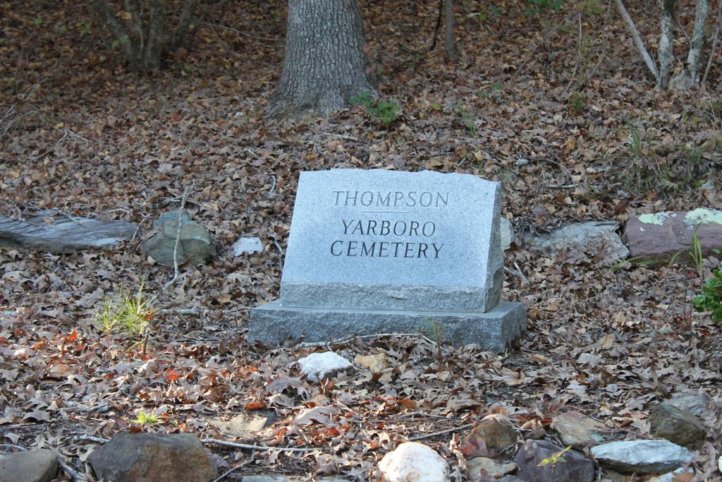
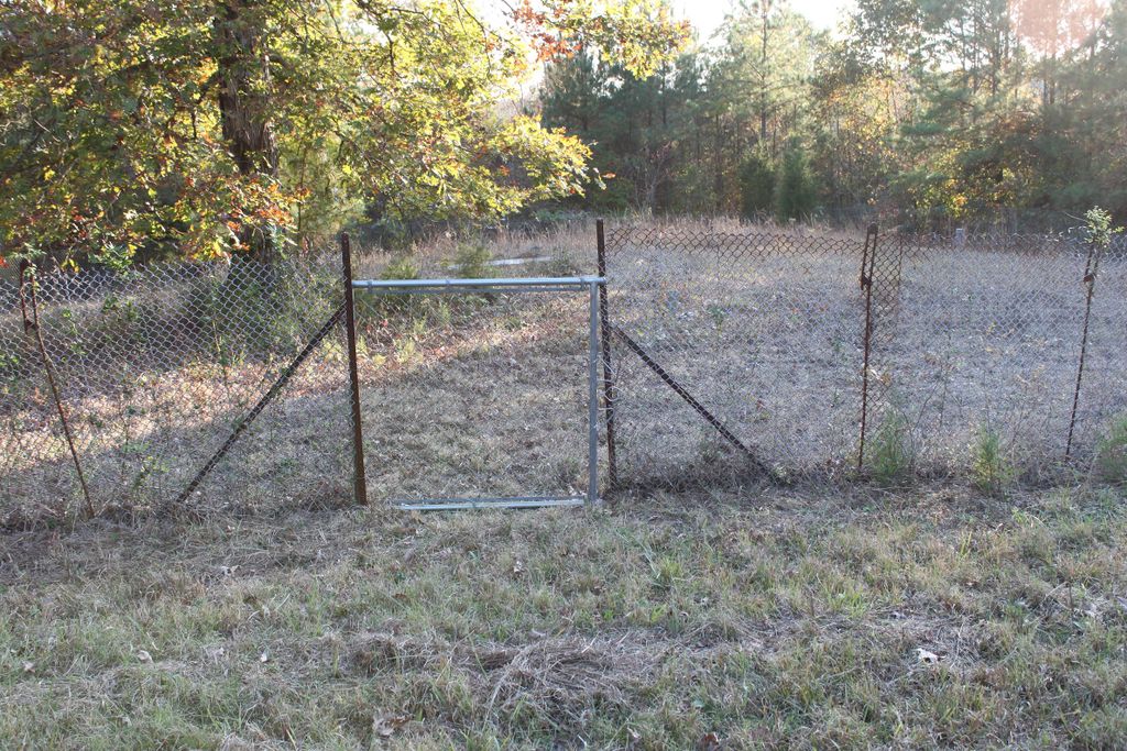
| Memorials | : | 1 |
| Location | : | Montgomery County, USA |
| Coordinate | : | 35.2394000, -79.8838000 |
| Description | : | This church cemetery is on Holly Mount Church Road which intersects Troy-Pekin road and Thickety Creek road. Historical note: Before the Boundary Line Survey of 1772, much of the northern part of South Carolina was thought to be in North Carolina. Accordingly, many North Carolina land grants were issued to land later found to be within the bounds of the Province of South Carolina. Tickety Creek is an unincorporated community in Cherokee County, South Carolina, United States. It lies between Gaffney and Cowpens along U.S. Route 29. Thickety is located about 12 miles (19 km) northeast of Spartanburg. |
frequently asked questions (FAQ):
-
Where is Thompson-Yarboro Cemetery?
Thompson-Yarboro Cemetery is located at Montgomery County ,North Carolina ,USA.
-
Thompson-Yarboro Cemetery cemetery's updated grave count on graveviews.com?
1 memorials
-
Where are the coordinates of the Thompson-Yarboro Cemetery?
Latitude: 35.2394000
Longitude: -79.8838000
Nearby Cemetories:
1. Holly Mount Baptist Church Cemetery
Mount Gilead, Montgomery County, USA
Coordinate: 35.2434940, -79.8757530
2. Greenlake Congregational Cemetery
Candor, Montgomery County, USA
Coordinate: 35.2209120, -79.8706770
3. Haywood Cemetery
Mount Gilead, Montgomery County, USA
Coordinate: 35.2592010, -79.8961029
4. Hickory Grove Pentecostal Holiness Church Cemetery
Candor, Montgomery County, USA
Coordinate: 35.2545300, -79.8531460
5. Blackwood Chapel Baptist Church Cemetery
Mount Gilead, Montgomery County, USA
Coordinate: 35.2115360, -79.8697200
6. McKenzie Family Cemetery
Pekin, Montgomery County, USA
Coordinate: 35.2101600, -79.8730200
7. Baldwin Family Cemetery
Pekin, Montgomery County, USA
Coordinate: 35.2050000, -79.8896300
8. Harris Family Cemetery
Onvil, Montgomery County, USA
Coordinate: 35.2596000, -79.8474400
9. Ewing Grave
Pekin, Montgomery County, USA
Coordinate: 35.2035910, -79.8876840
10. Ewing Family Cemetery
Pekin, Montgomery County, USA
Coordinate: 35.2032700, -79.8885200
11. Little River United Methodist Church Cemetery
Mount Gilead, Montgomery County, USA
Coordinate: 35.2035280, -79.9015600
12. Calvary Baptist Church Cemetery
Mount Gilead, Montgomery County, USA
Coordinate: 35.2544310, -79.9284410
13. Parsons Grove United Methodist Church Cemetery
Candor, Montgomery County, USA
Coordinate: 35.2707340, -79.8512050
14. Chisholm Cemetery
Wadeville, Montgomery County, USA
Coordinate: 35.2800560, -79.9127050
15. Chisholm Cemetery
Wadeville, Montgomery County, USA
Coordinate: 35.2851790, -79.9099590
16. Bruton Cemetery
Troy, Montgomery County, USA
Coordinate: 35.2941990, -79.8788770
17. Piney Grove Cemetery
Montgomery County, USA
Coordinate: 35.2914009, -79.8467026
18. Pleasant Grove Baptist Church Cemetery
Mount Gilead, Montgomery County, USA
Coordinate: 35.2995000, -79.8937000
19. Blake Cemetery
Candor, Montgomery County, USA
Coordinate: 35.2742004, -79.8221970
20. Sardis United Methodist Church Cemetery
Candor, Montgomery County, USA
Coordinate: 35.2119470, -79.8109370
21. Exway Baptist Church Cemetery
Ex-Way, Richmond County, USA
Coordinate: 35.1746230, -79.8667150
22. Parsons Grove Baptist Church Cemetery
Covington, Richmond County, USA
Coordinate: 35.1690310, -79.8761880
23. Ingram Chapel Cemetery
Mount Gilead, Montgomery County, USA
Coordinate: 35.1971130, -79.9533320
24. Greene Cemetery
Candor, Montgomery County, USA
Coordinate: 35.2559800, -79.7978000


