
| Memorials | : | 1 |
| Location | : | Tilba Tilba, Eurobodalla Shire, Australia |
| Coordinate | : | -36.3364580, 150.1015230 |
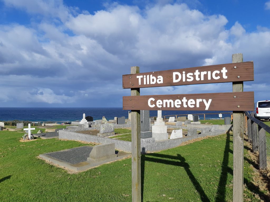
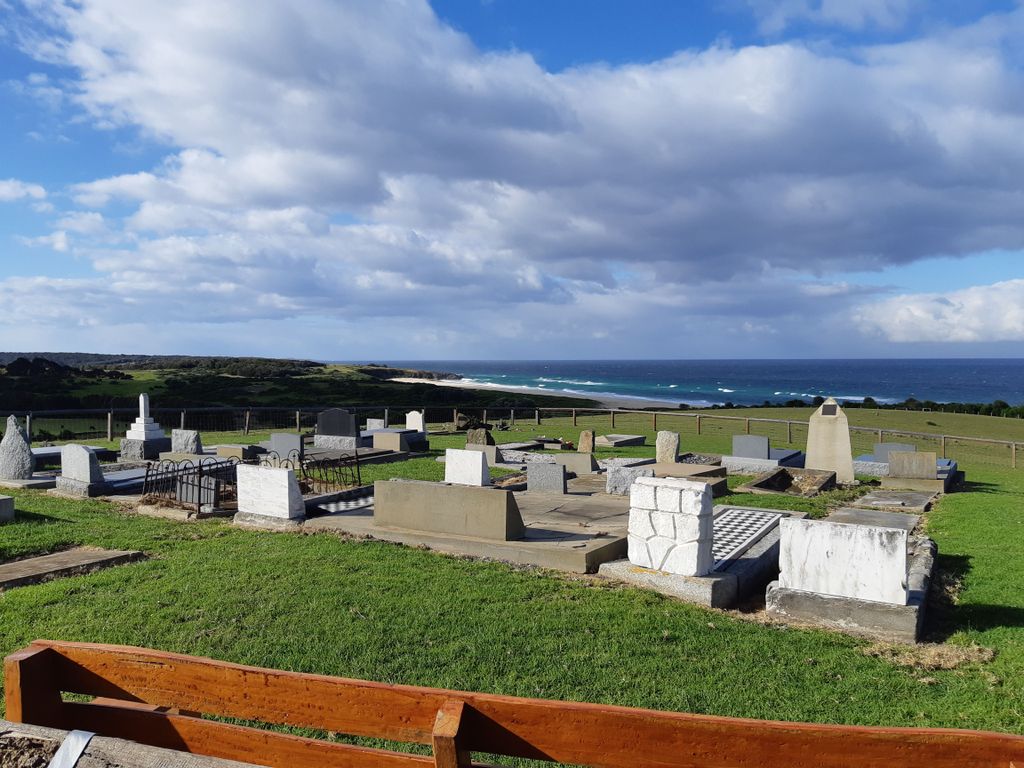
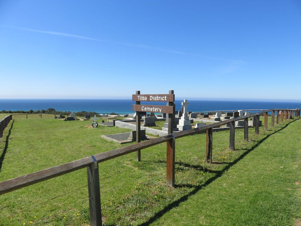
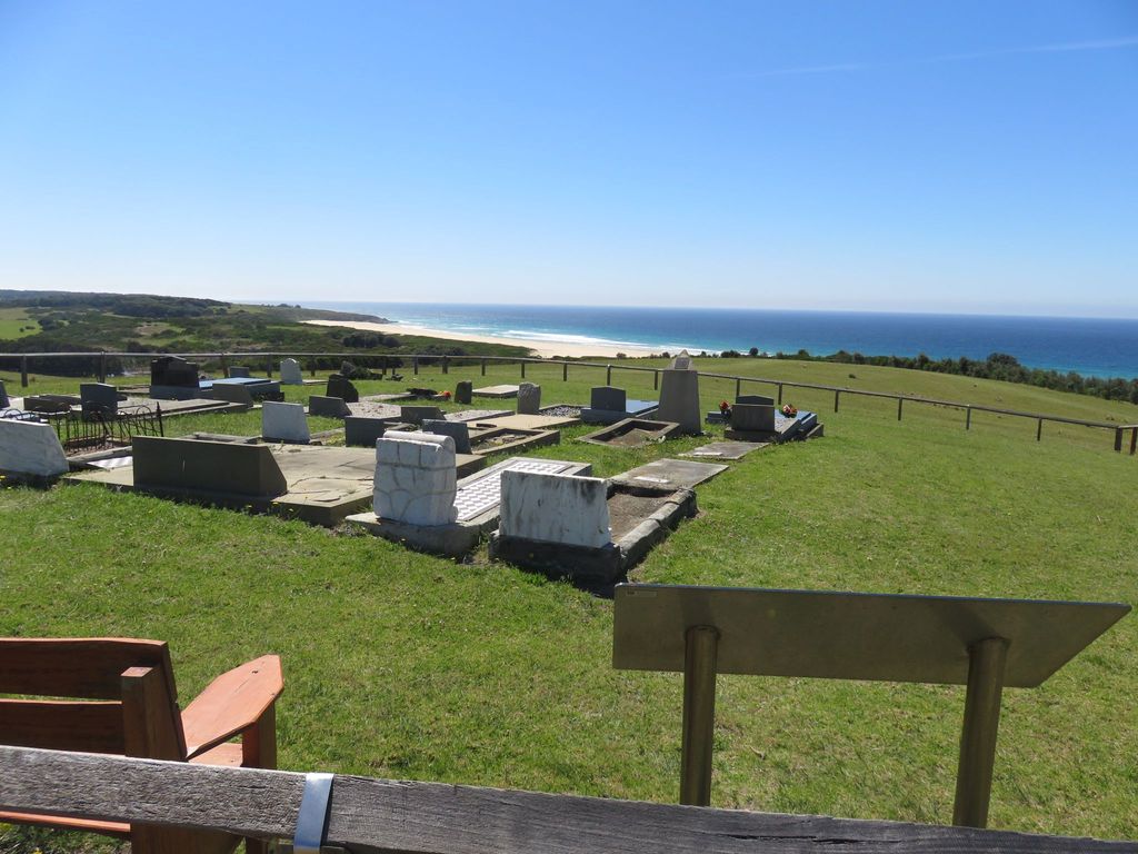
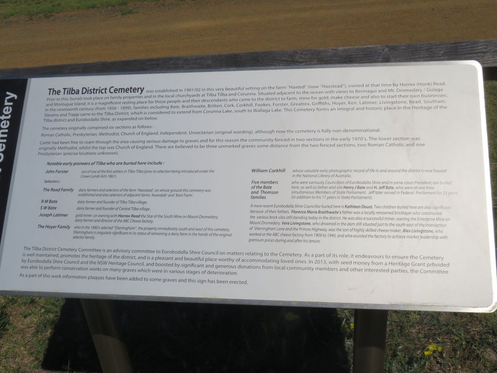
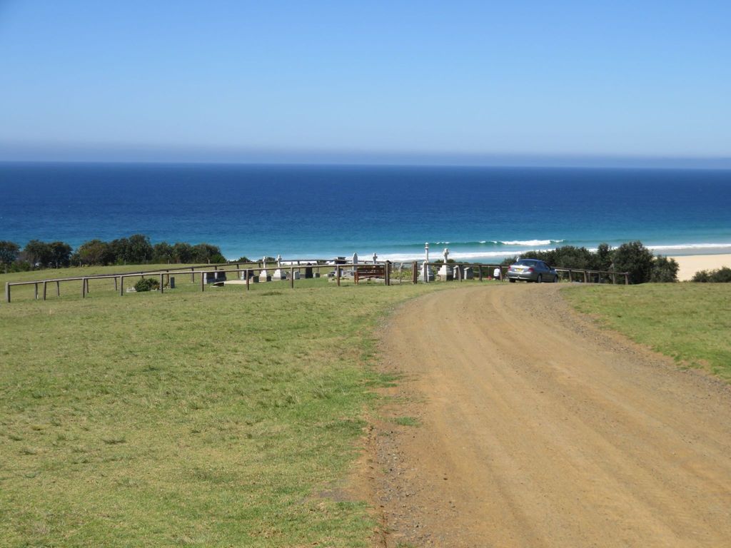
| Description | : | The cemetery is located amidst farmland on an exposed stretch of coast approximately 100m north-east of Little Lake. There are two fenced areas – upper and lower. The upper is largely comprised of Anglican burials. The lower is mostly comprised of Uniting Church burials – historically Methodist and Presbyterian. The graves face east over the ocean. The cemetery was established in 1901. The cemetery is located at the coast end of Haxstead Road, approximately 3.3km from the intersection of the Princes Highway and Sherringham Lane. |
frequently asked questions (FAQ):
-
Where is Tilba District Cemetery?
Tilba District Cemetery is located at Haxtead Road Tilba Tilba, Eurobodalla Shire ,New South Wales , 2546Australia.
-
Tilba District Cemetery cemetery's updated grave count on graveviews.com?
1 memorials
-
Where are the coordinates of the Tilba District Cemetery?
Latitude: -36.3364580
Longitude: 150.1015230
Nearby Cemetories:
1. Albert Read's Grave Tiverton
Central Tilba, Eurobodalla Shire, Australia
Coordinate: -36.3323020, 150.1008593
2. John Young Family Vault
Akolele, Eurobodalla Shire, Australia
Coordinate: -36.3554900, 150.0772200
3. Southam Family Cemetery
Tilba Tilba, Eurobodalla Shire, Australia
Coordinate: -36.3494830, 150.0438260
4. St Philips Church of England Cemetery
Narooma, Eurobodalla Shire, Australia
Coordinate: -36.2419000, 150.1047000
5. Bermagui General Cemetery
Bermagui, Bega Valley Shire, Australia
Coordinate: -36.4376630, 150.0715080
6. Narooma General Cemetery
Narooma, Eurobodalla Shire, Australia
Coordinate: -36.2279806, 150.1419222
7. Narooma Headland Burials
Narooma, Eurobodalla Shire, Australia
Coordinate: -36.2143060, 150.1356750
8. Wagonga Cemetery
Wagonga, Eurobodalla Shire, Australia
Coordinate: -36.2166672, 150.0500031
9. Montague Island Cemetery
Narooma, Eurobodalla Shire, Australia
Coordinate: -36.2551140, 150.2266290
10. Bottin Family Cemetery
Dignams Creek, Bega Valley Shire, Australia
Coordinate: -36.2428830, 149.9705940
11. Cobargo Cemetery
Cobargo, Bega Valley Shire, Australia
Coordinate: -36.3823000, 149.8956600
12. Eurobodalla Graves
Eurobodalla Shire, Australia
Coordinate: -36.1394800, 149.9812190
13. Quaama Cemetery
Bega, Bega Valley Shire, Australia
Coordinate: -36.4694305, 149.8739619
14. Bodalla General Cemetery
Bodalla, Eurobodalla Shire, Australia
Coordinate: -36.0833321, 150.0500031
15. Old Nerrigundah Cemetery
Nerrigundah, Eurobodalla Shire, Australia
Coordinate: -36.1213440, 149.9102380
16. Bingi Bingi Brinja Aboriginal massacre site
Bergalia, Eurobodalla Shire, Australia
Coordinate: -36.0214600, 150.1511990
17. Angledale Crossing
Angledale, Bega Valley Shire, Australia
Coordinate: -36.6215680, 149.8880460
18. Congo Point Colonial Grave
Congo Park, Eurobodalla Shire, Australia
Coordinate: -35.9559590, 150.1580970
19. Bega Old Cemetery
Bega, Bega Valley Shire, Australia
Coordinate: -36.6793990, 149.8385160
20. Moruya Cemetery
Moruya, Eurobodalla Shire, Australia
Coordinate: -35.9233510, 150.0755760
21. Kiora Cemetery
Kiora, Eurobodalla Shire, Australia
Coordinate: -35.9167050, 150.0411770
22. Bega Cemetery
Bega, Bega Valley Shire, Australia
Coordinate: -36.7040200, 149.8406240
23. Frederic Lester-Blanchard Lone Grave
Eurobodalla Shire, Australia
Coordinate: -35.9330700, 149.9278000
24. Moruya Heads Cemetery
Moruya Heads, Eurobodalla Shire, Australia
Coordinate: -35.9087270, 150.1612160