
| Memorials | : | 1 |
| Location | : | Houstons Corner, Caroline County, USA |
| Coordinate | : | 37.9233180, -77.5428300 |
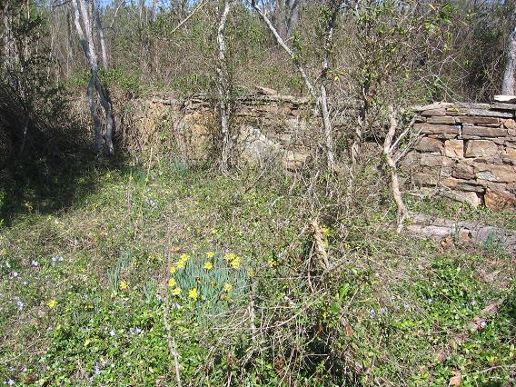
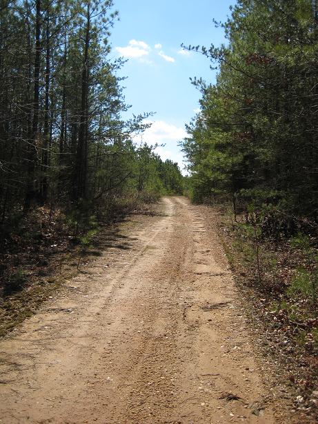
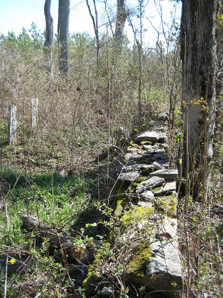
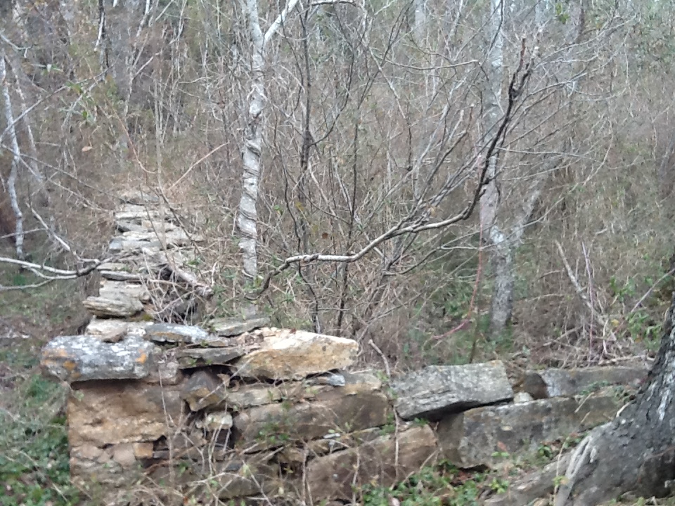
| Description | : | Caroline County was established in the British Colony of Virginia in 1728 from Essex, King and Queen, and King William counties. Located northwest of Jefferson Davis Highway (Route 1) on the North Anna River. Left on Jericho Road (Route 658) travel 3.3m to Houston's Corner. Second left turn onto dirt/fire road and go approx 1.7m taking again the second left road to the end of the fire road. The cemetery is located a few yards left at the end of the road and has a stone wall around it. This place was last surveyed August 6, 1968 and a plat... Read More |
frequently asked questions (FAQ):
-
Where is Topping Castle Cemetery?
Topping Castle Cemetery is located at Houstons Corner, Caroline County ,Virginia ,USA.
-
Topping Castle Cemetery cemetery's updated grave count on graveviews.com?
1 memorials
-
Where are the coordinates of the Topping Castle Cemetery?
Latitude: 37.9233180
Longitude: -77.5428300
Nearby Cemetories:
1. Hill Family Cemetery at Mount Airy
Ruther Glen, Caroline County, USA
Coordinate: 37.9376400, -77.5515250
2. Mount Carmel Baptist Church Cemetery
Doswell, Hanover County, USA
Coordinate: 37.8986140, -77.5369690
3. Elon Baptist Church Cemetery
Hanover County, USA
Coordinate: 37.9168860, -77.5759500
4. Jericho Baptist Church Cemetery
Ruther Glen, Caroline County, USA
Coordinate: 37.9300850, -77.4971460
5. Mount Salem Baptist Church Cemetery
Beaverdam, Hanover County, USA
Coordinate: 37.9299126, -77.5922394
6. Carpenter-Cobb Family Cemetery
Ruther Glen, Caroline County, USA
Coordinate: 37.9625600, -77.5054600
7. Carmel Baptist Church Cemetery
Ruther Glen, Caroline County, USA
Coordinate: 37.9302250, -77.4807920
8. Oxford Mount Zion Baptist Church Cemetery
Ruther Glen, Caroline County, USA
Coordinate: 37.9182010, -77.4785900
9. Middlebrook-Madison Family Cemetery
Ruther Glen, Caroline County, USA
Coordinate: 37.9234440, -77.4761670
10. Corker Family Cemetery
Beaverdam, Hanover County, USA
Coordinate: 37.9261250, -77.6225620
11. Duke's Chapel Cemetery
Doswell, Hanover County, USA
Coordinate: 37.8596220, -77.5395050
12. Saint James Baptist Church Cemetery
Beaverdam, Hanover County, USA
Coordinate: 37.8812730, -77.6044250
13. Strong Family Cemetery
Beaverdam, Hanover County, USA
Coordinate: 37.9203440, -77.6263550
14. Fork Episcopal Church Cemetery
Doswell, Hanover County, USA
Coordinate: 37.8534012, -77.5309982
15. Saint Margarets Episcopal Church Cemetery
Ruther Glen, Caroline County, USA
Coordinate: 37.9226960, -77.4515480
16. Trinity Episcopal Church Cemetery
Beaverdam, Hanover County, USA
Coordinate: 37.9010520, -77.6319780
17. Riverside Community Church Cemetery
Beaverdam, Hanover County, USA
Coordinate: 37.9524612, -77.6295013
18. Mount Hope Church Cemetery
Doswell, Hanover County, USA
Coordinate: 37.8638000, -77.4828033
19. Donahoe Family Cemetery
Ruther Glen, Caroline County, USA
Coordinate: 37.9410810, -77.4484000
20. Haskins Family
Doswell, Hanover County, USA
Coordinate: 37.8619800, -77.4778180
21. County Line Baptist Church Cemetery
Ruther Glen, Caroline County, USA
Coordinate: 38.0016270, -77.5823900
22. Belmont Cemetery
Doswell, Hanover County, USA
Coordinate: 37.8547324, -77.4783911
23. Union Baptist Church Cemetery
Beaverdam, Hanover County, USA
Coordinate: 37.9466019, -77.6516037
24. Lane Family Cemetery
Beaverdam, Hanover County, USA
Coordinate: 37.9413795, -77.6536865