
| Memorials | : | 4 |
| Location | : | Torquay, Torbay Unitary Authority, England |
| Coordinate | : | 50.4834300, -3.5443600 |
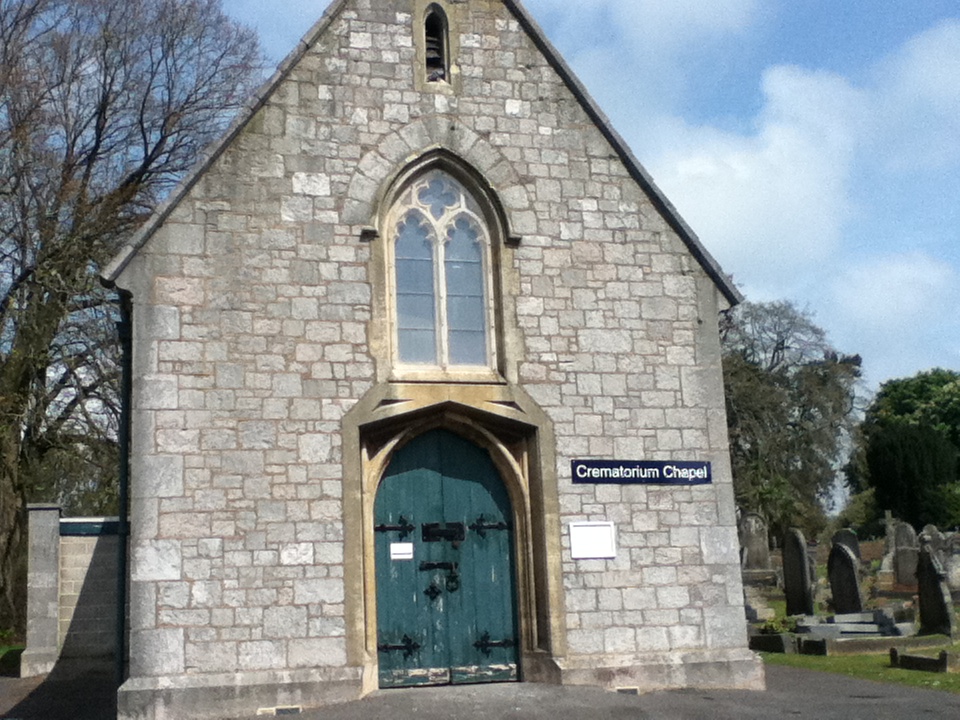
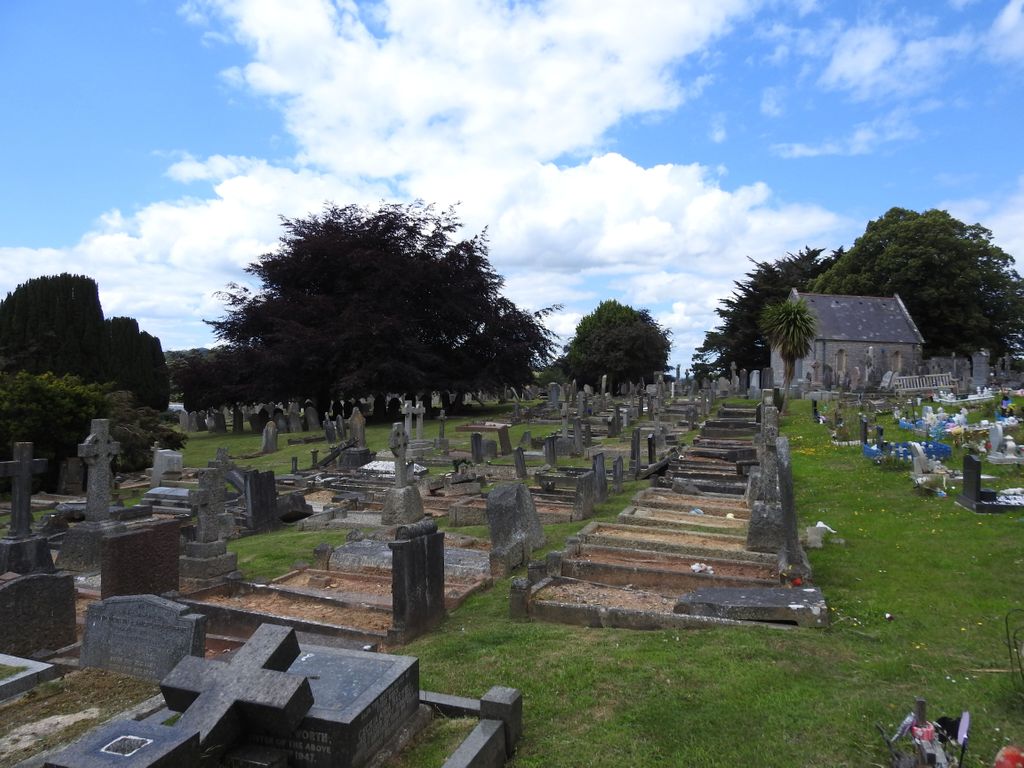
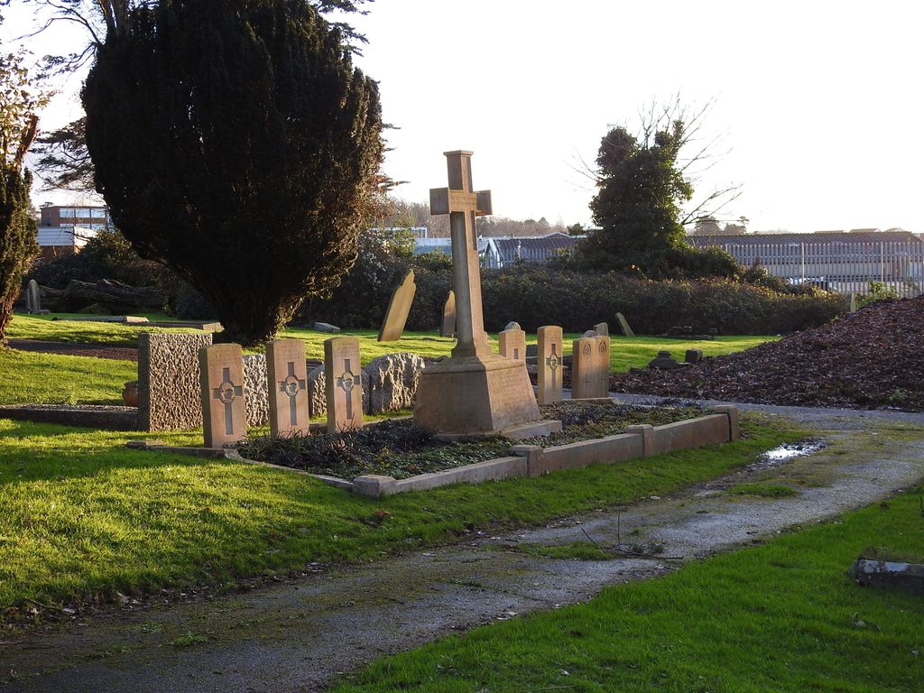
| Description | : | Torquay Cemetery and Extension contains 136 burials of the First World War, 32 of them forming a small plot in the south-west corner of the old part, near a small group of New Zealand graves (a small New Zealand Discharge Depot was formed at St. Mary's Church at the end of 1916). Of the 97 Second World War graves, 50 are in a war graves plot in the eastern part of the extension, the rest scattered. |
frequently asked questions (FAQ):
-
Where is Torquay Cemetery?
Torquay Cemetery is located at Torquay, Torbay Unitary Authority ,Devon ,England.
-
Torquay Cemetery cemetery's updated grave count on graveviews.com?
4 memorials
-
Where are the coordinates of the Torquay Cemetery?
Latitude: 50.4834300
Longitude: -3.5443600


Nearby Cemetories:
1. Torquay Crematorium
Torquay, Torbay Unitary Authority, England
Coordinate: 50.4859900, -3.5469900
2. St. Mary the Virgin Churchyard
Torquay, Torbay Unitary Authority, England
Coordinate: 50.4837470, -3.5249540
3. Torre Churchyard
Torquay, Torbay Unitary Authority, England
Coordinate: 50.4685963, -3.5382016
4. All Saints Churchyard
Babbacombe, Torbay Unitary Authority, England
Coordinate: 50.4774330, -3.5171470
5. St Bartholomew's Churchyard
Coffinswell, Teignbridge District, England
Coordinate: 50.5052300, -3.5649700
6. St. Mary's Churchyard
Kingskerswell, Torbay Unitary Authority, England
Coordinate: 50.4992800, -3.5862190
7. Saint Blaise Churchyard
Haccombe, Teignbridge District, England
Coordinate: 50.5207594, -3.5569565
8. St. John the Baptist Churchyard
Marldon, South Hams District, England
Coordinate: 50.4608700, -3.5984100
9. Parish Church of St Andrew Churchyard
Stokeinteignhead, Teignbridge District, England
Coordinate: 50.5238500, -3.5312800
10. St. John The Baptist Churchyard
Paignton, Torbay Unitary Authority, England
Coordinate: 50.4368000, -3.5693300
11. All Saints Churchyard
Combeinteignhead, Teignbridge District, England
Coordinate: 50.5334460, -3.5506900
12. St Mary the Virgin Churchyard
Abbotskerswell, Teignbridge District, England
Coordinate: 50.5073360, -3.6147140
13. Paignton Cemetery
Paignton, Torbay Unitary Authority, England
Coordinate: 50.4360560, -3.5821130
14. St Nicholas Churchyard Ringmore
Shaldon, Teignbridge District, England
Coordinate: 50.5406080, -3.5196630
15. St Mary the Virgin Churchyard
Newton Abbot, Teignbridge District, England
Coordinate: 50.5219160, -3.6171470
16. Newton Abbot Cemetery
Newton Abbot, Teignbridge District, England
Coordinate: 50.5201180, -3.6200730
17. St. Andrew Churchyard
Ipplepen, Teignbridge District, England
Coordinate: 50.4872610, -3.6443980
18. St Mary the Virgin Churchyard
Collaton St Mary, Torbay Unitary Authority, England
Coordinate: 50.4304300, -3.6005090
19. St John the Baptist Churchyard
Bishopsteignton, Teignbridge District, England
Coordinate: 50.5510800, -3.5385100
20. St Michael's Churchyard
Kingsteignton, Teignbridge District, England
Coordinate: 50.5448300, -3.5946480
21. St Bartholomew Parish Churchyard
Ogwell, Teignbridge District, England
Coordinate: 50.5188100, -3.6401400
22. Saint James Parish Church
Teignmouth, Teignbridge District, England
Coordinate: 50.5480450, -3.4985447
23. St. Michael the Archangel Churchyard
Teignmouth, Teignbridge District, England
Coordinate: 50.5474910, -3.4922043
24. All Saints Churchyard
Highweek, Teignbridge District, England
Coordinate: 50.5372570, -3.6224880