
| Memorials | : | 2 |
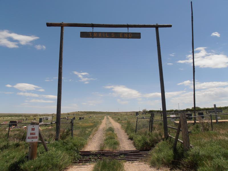
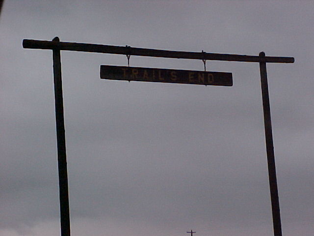
| Location | : | Medicine Bow, Carbon County, USA |
| Coordinate | : | 41.8925300, -106.1972800 |
| Description | : | Once owned by Union Pacific Railroad. Some railroad employees interred in unmarked graves. Deeded to the town of Medicine Bow from UPRR. |
frequently asked questions (FAQ):
-
Where is Trails End Cemetery?
Trails End Cemetery is located at Medicine Bow, Carbon County ,Wyoming ,USA.
-
Trails End Cemetery cemetery's updated grave count on graveviews.com?
2 memorials
-
Where are the coordinates of the Trails End Cemetery?
Latitude: 41.8925300
Longitude: -106.1972800
Nearby Cemetories:
1. Carbon Cemetery
Carbon, Carbon County, USA
Coordinate: 41.8519980, -106.3778740
2. Rock River Cemetery
Rock River, Albany County, USA
Coordinate: 41.7371500, -105.9741700
3. Elk Mountain Cemetery
Elk Mountain, Carbon County, USA
Coordinate: 41.7075005, -106.4289017
4. Hanna Cemetery
Hanna, Carbon County, USA
Coordinate: 41.8575900, -106.5849100
5. Fort Halleck Cemetery
Elk Mountain, Carbon County, USA
Coordinate: 41.6985740, -106.5158570
6. Clement Stuart Bengough Gravesite
Albany County, USA
Coordinate: 41.5100600, -106.0523800
7. Little Medicine Cemetery
Little Medicine, Albany County, USA
Coordinate: 42.3769300, -106.0014200
8. Fort Steele Historic Site Cemetery
Fort Steele, Carbon County, USA
Coordinate: 41.7725250, -106.9469110
9. Cadwell Cemetery
Saratoga, Carbon County, USA
Coordinate: 41.4531000, -106.7673000
10. Saratoga Cemetery
Saratoga, Carbon County, USA
Coordinate: 41.4592700, -106.7937600
11. Overland Crossing Cemetery
Carbon County, USA
Coordinate: 41.5732994, -106.9644012
12. Harmony Cemetery
Laramie, Albany County, USA
Coordinate: 41.2734500, -105.6791500
13. Saint Mathews Cathedral Columbarium
Laramie, Albany County, USA
Coordinate: 41.3122600, -105.5931600
14. Greenhill Cemetery
Laramie, Albany County, USA
Coordinate: 41.3163986, -105.5746994
15. Newell Cemetery
Esterbrook, Converse County, USA
Coordinate: 42.3843500, -105.4445500
16. Pathfinder Cemetery
Natrona County, USA
Coordinate: 42.4798000, -106.8422900
17. Hopkins Burial Site
Encampment, Carbon County, USA
Coordinate: 41.1681870, -106.5192480
18. Fort Sanders Cemetery
Laramie, Albany County, USA
Coordinate: 41.2710900, -105.5986010
19. Freeland Cemetery
Natrona County, USA
Coordinate: 42.6506400, -106.3971300
20. Alcova Cemetery
Alcova, Natrona County, USA
Coordinate: 42.5650300, -106.7213300
21. Old Alcova Cemetery
Alcova, Natrona County, USA
Coordinate: 42.5716750, -106.7074250
22. Mountain View Cemetery
Riverside, Carbon County, USA
Coordinate: 41.2261009, -106.7403030
23. Rawlins Cemetery
Rawlins, Carbon County, USA
Coordinate: 41.7976300, -107.2402400
24. Platt Cemetery
Carbon County, USA
Coordinate: 41.1749992, -106.6172028