
| Memorials | : | 1 |
| Location | : | Pomfret, Charles County, USA |
| Coordinate | : | 38.5974700, -77.0663710 |
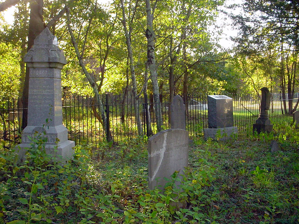
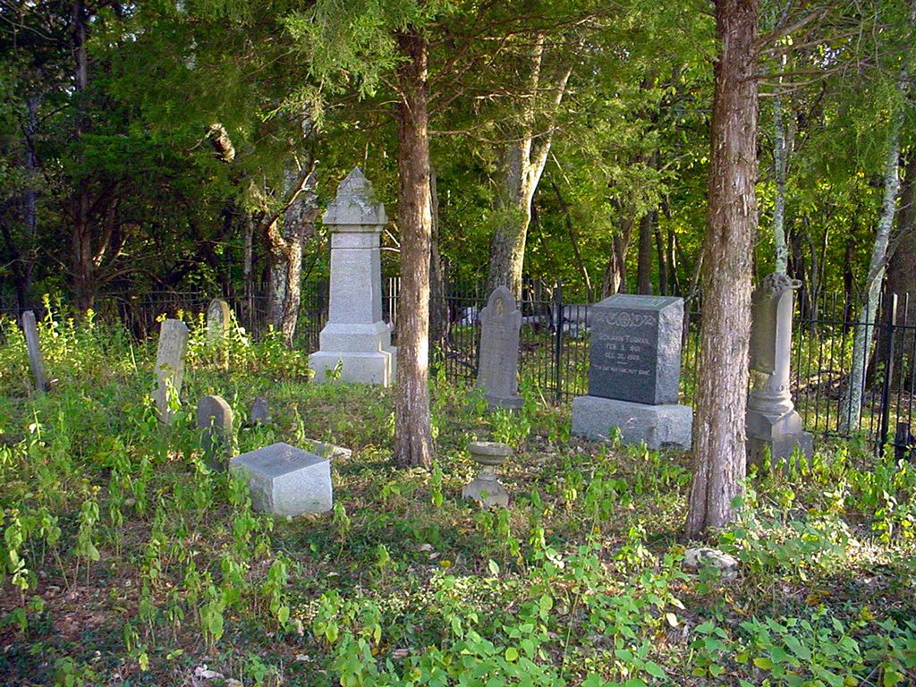
| Description | : | Tubman Family Cemetery-Pomonkey From LaPlata, Route 301 Take Marshall Corner Road (Rt. 227) to Pomfret, where it becomes Pomfret Road. Bear right and continue on Pomfret Road to Ray Drive and turn left. Follow Ray Drive to #4230 on the left. The location of this cemetery is on property that was once owned by Zachary (Zachariah) Wade. In 1663, Wade was granted 1,200 acres of land that he named Market Overton Plantation. Market Overton was bequeathed in parts to family members over the years and was home to Wade, Magruder, Stone, Dement and Tubman family members. The Tubman Cemetery, Ray Drive was on... Read More |
frequently asked questions (FAQ):
-
Where is Tubman Cemetery?
Tubman Cemetery is located at 4230 Ray Drive Pomfret, Charles County ,Maryland ,USA.
-
Tubman Cemetery cemetery's updated grave count on graveviews.com?
1 memorials
-
Where are the coordinates of the Tubman Cemetery?
Latitude: 38.5974700
Longitude: -77.0663710
Nearby Cemetories:
1. Saint John's Episcopal Chapel Cemetery
Pomonkey, Charles County, USA
Coordinate: 38.5980988, -77.0781021
2. Dents Level Cemetery
Pomonkey, Charles County, USA
Coordinate: 38.6022070, -77.0778570
3. McDaniel Cemetery
Pomfret, Charles County, USA
Coordinate: 38.5853260, -77.0464920
4. Metropolitan United Methodist Church Cemetery
Indian Head, Charles County, USA
Coordinate: 38.6185989, -77.0781021
5. Downs Drive Family Cemetery
Bryans Road, Charles County, USA
Coordinate: 38.6310900, -77.0618400
6. Saint Josephs Cemetery
Pomfret, Charles County, USA
Coordinate: 38.5875015, -77.0243988
7. Stoddert Family Cemetery
Bryans Road, Charles County, USA
Coordinate: 38.6323100, -77.0859400
8. Shiloh Cemetery
Bryans Road, Charles County, USA
Coordinate: 38.6357994, -77.0591965
9. Macedonia Baptist Church Cemetery
Bryans Road, Charles County, USA
Coordinate: 38.6396560, -77.0706398
10. Chapman Family Cemetery
Bryans Road, Charles County, USA
Coordinate: 38.6181800, -77.1171100
11. Anna Lingan Gravesite
Bennsville, Charles County, USA
Coordinate: 38.6051920, -77.0065530
12. Saint Charles Cemetery
Glymont, Charles County, USA
Coordinate: 38.6006012, -77.1352997
13. Fenwick Family Cemetery
Fenwick, Charles County, USA
Coordinate: 38.6410600, -77.1072200
14. Fenwick Road Cemetery
Fenwick, Charles County, USA
Coordinate: 38.6480087, -77.0977627
15. Osborne Cemetery
Waldorf, Charles County, USA
Coordinate: 38.6217200, -76.9909000
16. Mount Carmel Cemetery
La Plata, Charles County, USA
Coordinate: 38.5560989, -77.0008011
17. Thomas Stone National Historic Site
Port Tobacco, Charles County, USA
Coordinate: 38.5299900, -77.0375300
18. Smith Chapel Cemetery
La Plata, Charles County, USA
Coordinate: 38.5327988, -77.1117020
19. Marbury Baptist Church Cemetery
Marbury, Charles County, USA
Coordinate: 38.5686700, -77.1533700
20. Park Hill Cemetery
Marbury, Charles County, USA
Coordinate: 38.5769005, -77.1580963
21. New Life Church Cemetery
La Plata, Charles County, USA
Coordinate: 38.5754660, -76.9731100
22. Wesleyan Memorial Gardens
La Plata, Charles County, USA
Coordinate: 38.5754170, -76.9725280
23. Pisgah United Methodist Church Cemetery
Pisgah, Charles County, USA
Coordinate: 38.5410995, -77.1342010
24. Brandt Family Cemetery
Bryans Road, Charles County, USA
Coordinate: 38.6698180, -77.1093890