| Memorials | : | 278 |
| Location | : | Pomonkey, Charles County, USA |
| Coordinate | : | 38.5980988, -77.0781021 |
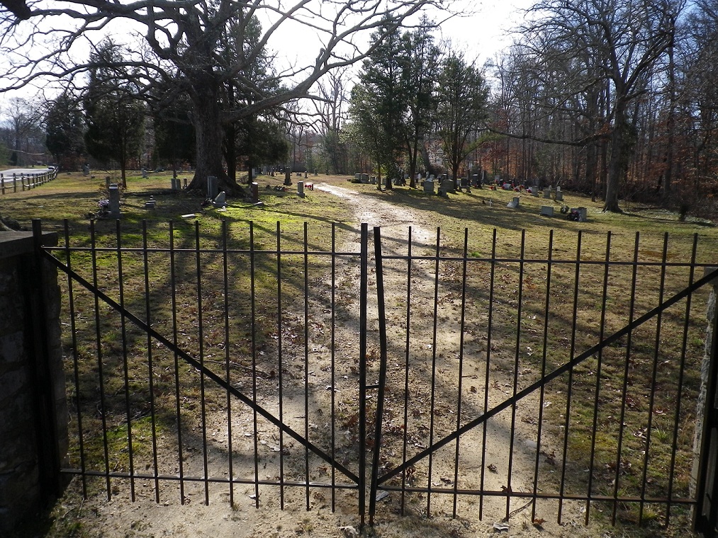
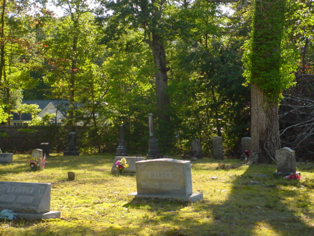
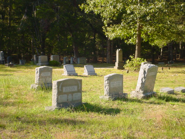
| Description | : | The cemetery currently has no sign and a huge oak tree that has fallen on graves and broken some stones. The old chapel was moved a few miles away to Livingston Road in 1901 and has recently been restored. It apparently does not have a congregation and is being used for community activities. |
frequently asked questions (FAQ):
-
Where is Saint John's Episcopal Chapel Cemetery?
Saint John's Episcopal Chapel Cemetery is located at Bumpy Oak Road Pomonkey, Charles County ,Maryland ,USA.
-
Saint John's Episcopal Chapel Cemetery cemetery's updated grave count on graveviews.com?
278 memorials
-
Where are the coordinates of the Saint John's Episcopal Chapel Cemetery?
Latitude: 38.5980988
Longitude: -77.0781021
Nearby Cemetories:
1. Dents Level Cemetery
Pomonkey, Charles County, USA
Coordinate: 38.6022070, -77.0778570
2. Tubman Cemetery
Pomfret, Charles County, USA
Coordinate: 38.5974700, -77.0663710
3. Metropolitan United Methodist Church Cemetery
Indian Head, Charles County, USA
Coordinate: 38.6185989, -77.0781021
4. McDaniel Cemetery
Pomfret, Charles County, USA
Coordinate: 38.5853260, -77.0464920
5. Stoddert Family Cemetery
Bryans Road, Charles County, USA
Coordinate: 38.6323100, -77.0859400
6. Downs Drive Family Cemetery
Bryans Road, Charles County, USA
Coordinate: 38.6310900, -77.0618400
7. Chapman Family Cemetery
Bryans Road, Charles County, USA
Coordinate: 38.6181800, -77.1171100
8. Shiloh Cemetery
Bryans Road, Charles County, USA
Coordinate: 38.6357994, -77.0591965
9. Macedonia Baptist Church Cemetery
Bryans Road, Charles County, USA
Coordinate: 38.6396560, -77.0706398
10. Saint Josephs Cemetery
Pomfret, Charles County, USA
Coordinate: 38.5875015, -77.0243988
11. Saint Charles Cemetery
Glymont, Charles County, USA
Coordinate: 38.6006012, -77.1352997
12. Fenwick Family Cemetery
Fenwick, Charles County, USA
Coordinate: 38.6410600, -77.1072200
13. Fenwick Road Cemetery
Fenwick, Charles County, USA
Coordinate: 38.6480087, -77.0977627
14. Anna Lingan Gravesite
Bennsville, Charles County, USA
Coordinate: 38.6051920, -77.0065530
15. Marbury Baptist Church Cemetery
Marbury, Charles County, USA
Coordinate: 38.5686700, -77.1533700
16. Park Hill Cemetery
Marbury, Charles County, USA
Coordinate: 38.5769005, -77.1580963
17. Smith Chapel Cemetery
La Plata, Charles County, USA
Coordinate: 38.5327988, -77.1117020
18. Pisgah United Methodist Church Cemetery
Pisgah, Charles County, USA
Coordinate: 38.5410995, -77.1342010
19. Osborne Cemetery
Waldorf, Charles County, USA
Coordinate: 38.6217200, -76.9909000
20. Mount Carmel Cemetery
La Plata, Charles County, USA
Coordinate: 38.5560989, -77.0008011
21. Thomas Stone National Historic Site
Port Tobacco, Charles County, USA
Coordinate: 38.5299900, -77.0375300
22. Brandt Family Cemetery
Bryans Road, Charles County, USA
Coordinate: 38.6698180, -77.1093890
23. Pisgah Nazarene Church Cemetery
Pisgah, Charles County, USA
Coordinate: 38.5416400, -77.1440500
24. Pleasant Grove Missionary Baptist Church Cemetery
Marbury, Charles County, USA
Coordinate: 38.5586014, -77.1669006


