
| Memorials | : | 2 |
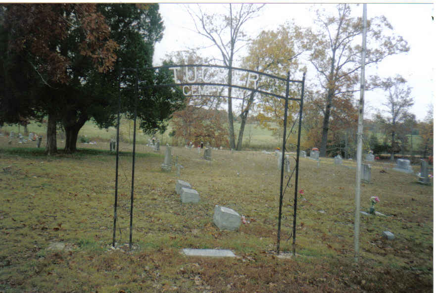
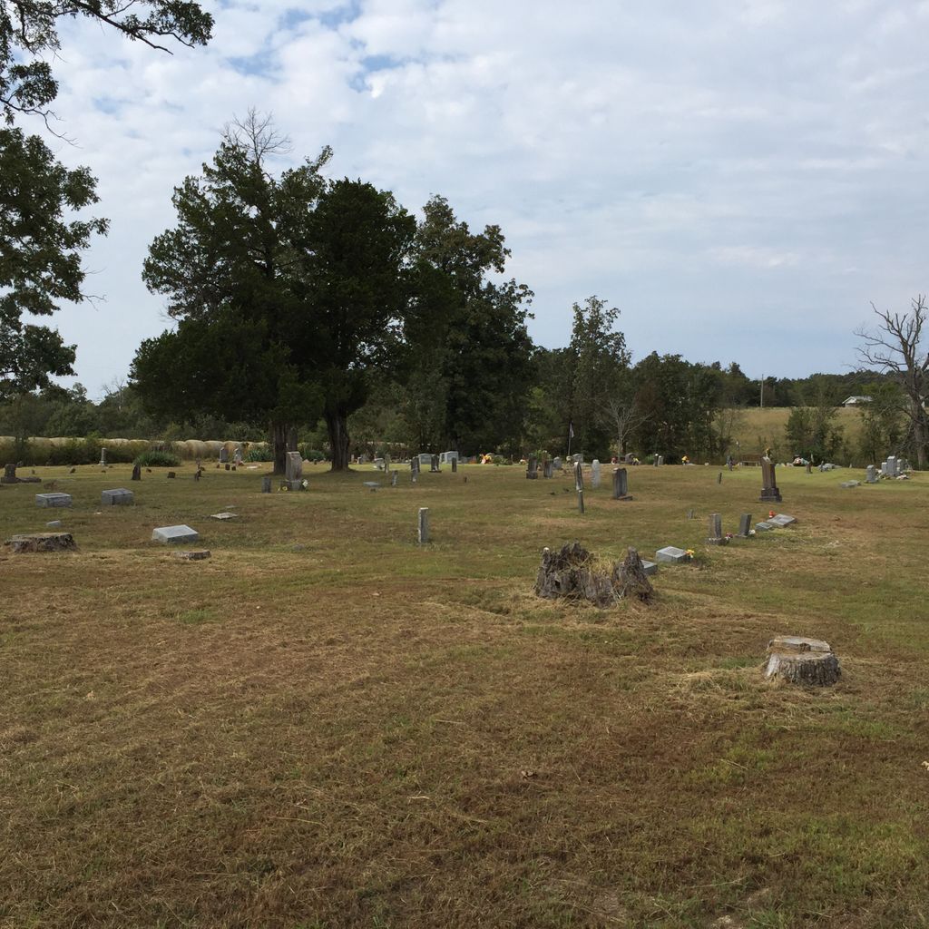
| Location | : | Tucker (Gatewood), Ripley County, USA |
| Coordinate | : | 36.5426417, -91.0757139 |
| Description | : | Located about 15 miles west of Doniphan on Z Hwy, in Ripley County, MO |
frequently asked questions (FAQ):
-
Where is Tucker Cemetery?
Tucker Cemetery is located at Tucker (Gatewood), Ripley County ,Missouri ,USA.
-
Tucker Cemetery cemetery's updated grave count on graveviews.com?
2 memorials
-
Where are the coordinates of the Tucker Cemetery?
Latitude: 36.5426417
Longitude: -91.0757139
Nearby Cemetories:
1. Gatewood Cemetery
Gatewood, Ripley County, USA
Coordinate: 36.5751600, -91.0900900
2. New Home Cemetery
Tucker (Gatewood), Ripley County, USA
Coordinate: 36.5112100, -91.1089800
3. Johnston Chapel Cemetery
Union Township, Ripley County, USA
Coordinate: 36.5338100, -91.0053100
4. Union Grove Cemetery
Ripley County, USA
Coordinate: 36.5597000, -90.9981003
5. Liberty Cemetery
Calm, Oregon County, USA
Coordinate: 36.5586500, -91.1549600
6. Warm Springs Cemetery
Warm Springs, Randolph County, USA
Coordinate: 36.4813995, -91.0457993
7. Macedonia Cemetery
Warm Springs, Randolph County, USA
Coordinate: 36.4707985, -91.0742035
8. Coe Cemetery
Warm Springs, Randolph County, USA
Coordinate: 36.4732400, -91.1102200
9. Pleasant Hill Cemetery
Calm, Oregon County, USA
Coordinate: 36.5950012, -91.1425018
10. Mount Carmel Cemetery
Calm, Oregon County, USA
Coordinate: 36.5106010, -91.1643982
11. Old Ponder Cemetery
Ripley County, USA
Coordinate: 36.5830994, -90.9871979
12. Whittenberg Cemetery
Warm Springs, Randolph County, USA
Coordinate: 36.4682999, -91.0282974
13. Ponder Catholic Cemetery
Ponder, Ripley County, USA
Coordinate: 36.5814100, -90.9793800
14. Ponder Cemetery
Doniphan, Ripley County, USA
Coordinate: 36.5814018, -90.9792023
15. Pigman Mound Archeological Site
Calm, Oregon County, USA
Coordinate: 36.5717100, -91.1784800
16. Dalton Cemetery
Ripley County, USA
Coordinate: 36.5003014, -90.9772034
17. Burr Cemetery
Randolph County, USA
Coordinate: 36.4667015, -91.0152969
18. Hamilton
Warm Springs, Randolph County, USA
Coordinate: 36.4469170, -91.0900830
19. Old Dalton Family Cemetery
Ponder, Ripley County, USA
Coordinate: 36.5568780, -90.9547810
20. Confederate Cemetery
Randolph County, USA
Coordinate: 36.4441400, -91.0688100
21. Old Elmore Thomas field
Billmore, Oregon County, USA
Coordinate: 36.5237770, -91.1980250
22. Spring Valley Cemetery
Billmore, Oregon County, USA
Coordinate: 36.5324670, -91.2003420
23. Patterson Cemetery
Ripley County, USA
Coordinate: 36.5242004, -90.9464035
24. Sugar Tree Grove Cemetery
Ripley County, USA
Coordinate: 36.5253640, -90.9451680