
| Memorials | : | 0 |
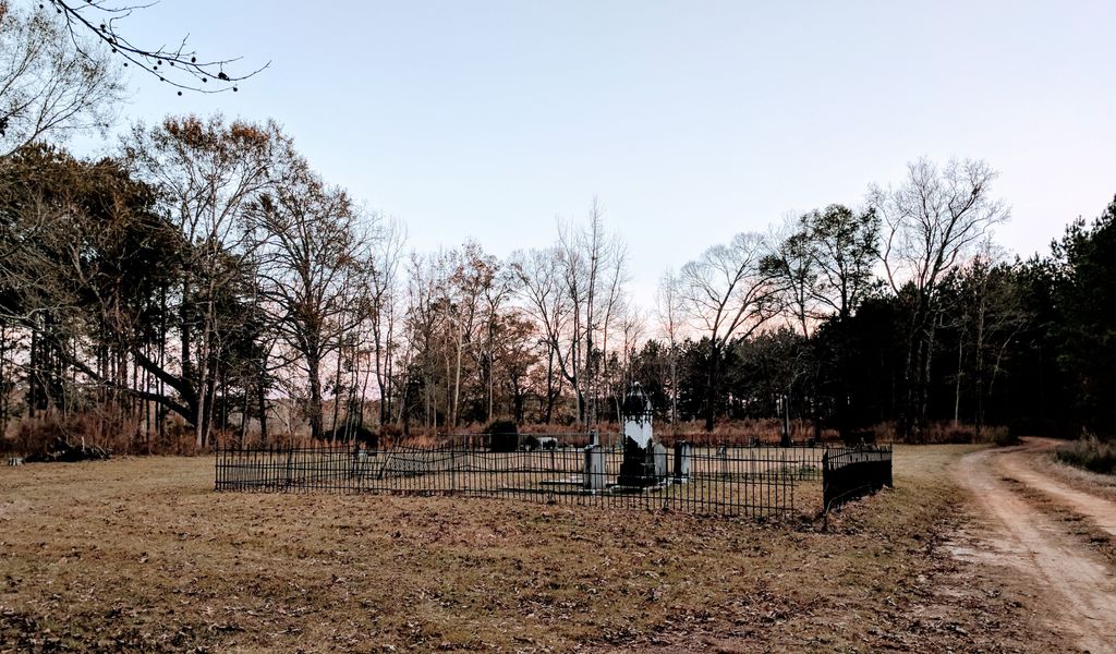
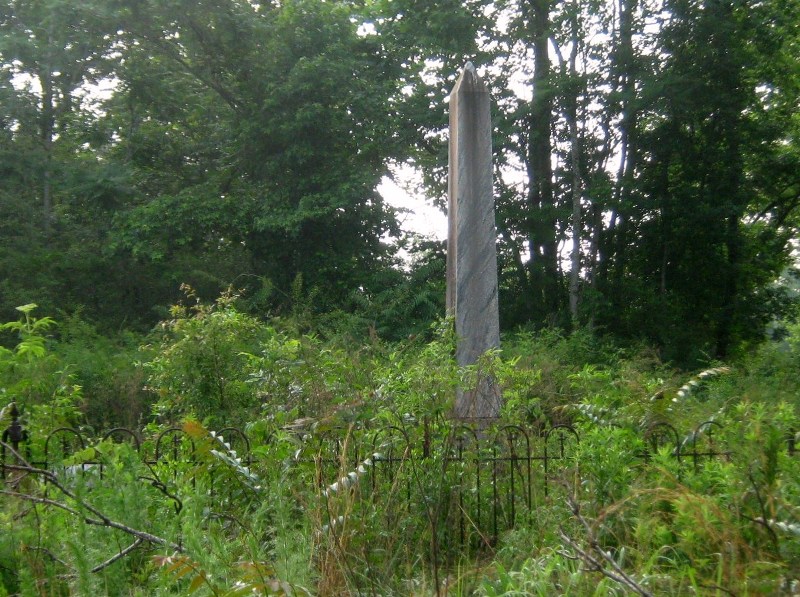
| Location | : | Monroe County, USA |
| Coordinate | : | 31.7138996, -87.1361008 |
| Description | : | Two cemeteries are at this general location -- Turnbull and Savannah. To reach these cemeteries, start your journey at Monroeville, Alabama. Head north on Hwy-21 (toward the town of Beatrice). At Beatrice Hwy-21 will turn eastward and merge with Hwy-47. Stay on 21/47 to Turnbull Road (approximately 7 miles). At Turnbull Hwy-21 veers northward and Hwy-47 will continue eastward toward the Conecuh County line and the Midway Cemetery. At Turnbull Road turn right (southward) and at a distance of approximately ¾ mile two cemeteries will come into view. The first is the Turnbull... Read More |
frequently asked questions (FAQ):
-
Where is Turnbull Cemetery?
Turnbull Cemetery is located at Monroe County ,Alabama ,USA.
-
Turnbull Cemetery cemetery's updated grave count on graveviews.com?
0 memorials
-
Where are the coordinates of the Turnbull Cemetery?
Latitude: 31.7138996
Longitude: -87.1361008


Nearby Cemetories:
1. Savannah Cemetery
Monroe County, USA
Coordinate: 31.7128350, -87.1456150
2. McClammy Cemetery
Monroe County, USA
Coordinate: 31.6939780, -87.1157840
3. Sylvester Baptist Church Cemetery
Beatrice, Monroe County, USA
Coordinate: 31.7366000, -87.1631660
4. Pineville Cemetery
Pineville, Monroe County, USA
Coordinate: 31.7453120, -87.1699150
5. Pineville Baptist Cemetery
Pineville, Monroe County, USA
Coordinate: 31.7432556, -87.1729279
6. Pineville Methodist Cemetery
Pineville, Monroe County, USA
Coordinate: 31.7427998, -87.1766968
7. Booker Family Cemetery
Monroe County, USA
Coordinate: 31.6613990, -87.1148480
8. Stallworth Cemetery
Beatrice, Monroe County, USA
Coordinate: 31.7273250, -87.2001630
9. Lone Star Cemetery
Pine Orchard, Monroe County, USA
Coordinate: 31.6594009, -87.1125031
10. Patrick Cemetery
Monroe County, USA
Coordinate: 31.7267360, -87.0678180
11. Saint John AME Church Cemetery
Beatrice, Monroe County, USA
Coordinate: 31.7333298, -87.2047195
12. Turkestan Cemetery
Monroe County, USA
Coordinate: 31.7800007, -87.1521988
13. Pineview Cemetery
Pineville, Monroe County, USA
Coordinate: 31.7828007, -87.1500015
14. Midway Baptist Church Cemetery
Conecuh County, USA
Coordinate: 31.7157993, -87.0522003
15. Pine Orchard Cemetery
Conecuh County, USA
Coordinate: 31.6408005, -87.1355972
16. House of God Church Keith Dominion Cemetery
Skinnerton, Conecuh County, USA
Coordinate: 31.6759910, -87.0556210
17. Indian Springs Baptist Cemetery
Beatrice, Monroe County, USA
Coordinate: 31.7917410, -87.1177570
18. Grimes Cemetery
Monroe County, USA
Coordinate: 31.7863998, -87.0939026
19. Antioch Baptist Church Cemetery
Tunnel Springs, Monroe County, USA
Coordinate: 31.6411430, -87.1867490
20. Fountain Cemetery
Tunnel Springs, Monroe County, USA
Coordinate: 31.6588600, -87.2219260
21. Mount Pleasant Methodist Church Cemetery
Skinnerton, Conecuh County, USA
Coordinate: 31.6618996, -87.0400009
22. Bursonville Cemetery
Monroe County, USA
Coordinate: 31.7929790, -87.0608040
23. Ramah Baptist Church Cemetery
Pine Orchard, Monroe County, USA
Coordinate: 31.6119003, -87.1386032
24. New Hope Cemetery
Beatrice, Monroe County, USA
Coordinate: 31.7285520, -87.2607740