
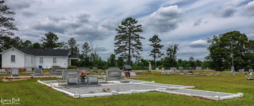
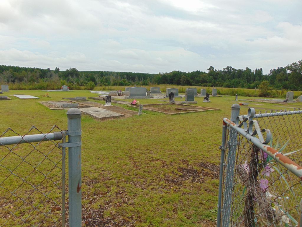
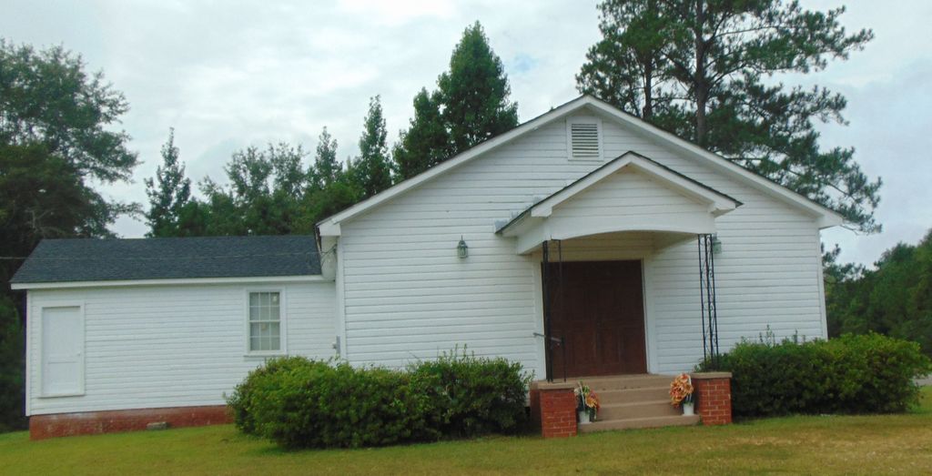
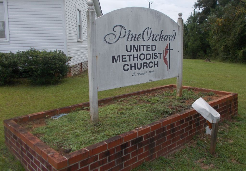
| Memorials | : | 1 |
| Location | : | Conecuh County, USA |
| Coordinate | : | 31.6408005, -87.1355972 |
frequently asked questions (FAQ):
-
Where is Pine Orchard Cemetery?
Pine Orchard Cemetery is located at Conecuh County ,Alabama ,USA.
-
Pine Orchard Cemetery cemetery's updated grave count on graveviews.com?
1 memorials
-
Where are the coordinates of the Pine Orchard Cemetery?
Latitude: 31.6408005
Longitude: -87.1355972


Nearby Cemetories:
1. Lone Star Cemetery
Pine Orchard, Monroe County, USA
Coordinate: 31.6594009, -87.1125031
2. Booker Family Cemetery
Monroe County, USA
Coordinate: 31.6613990, -87.1148480
3. Ramah Baptist Church Cemetery
Pine Orchard, Monroe County, USA
Coordinate: 31.6119003, -87.1386032
4. Antioch Baptist Church Cemetery
Tunnel Springs, Monroe County, USA
Coordinate: 31.6411430, -87.1867490
5. Martin Cemetery
Conecuh County, USA
Coordinate: 31.5949993, -87.1014023
6. McClammy Cemetery
Monroe County, USA
Coordinate: 31.6939780, -87.1157840
7. Green Street AME Church Cemetery
Burnt Corn, Conecuh County, USA
Coordinate: 31.5824990, -87.1306990
8. New Haven Cemetery
Conecuh County, USA
Coordinate: 31.6096992, -87.0742035
9. Savannah Cemetery
Monroe County, USA
Coordinate: 31.7128350, -87.1456150
10. Turnbull Cemetery
Monroe County, USA
Coordinate: 31.7138996, -87.1361008
11. Fountain Cemetery
Tunnel Springs, Monroe County, USA
Coordinate: 31.6588600, -87.2219260
12. House of God Church Keith Dominion Cemetery
Skinnerton, Conecuh County, USA
Coordinate: 31.6759910, -87.0556210
13. Purnell Methodist Church Cemetery
Fairnelson, Conecuh County, USA
Coordinate: 31.5688460, -87.1042010
14. Davis Family Cemetery
Monroe County, USA
Coordinate: 31.5919940, -87.2112360
15. Mount Pleasant Methodist Church Cemetery
Skinnerton, Conecuh County, USA
Coordinate: 31.6618996, -87.0400009
16. Old Duke Cemetery
Monroe County, USA
Coordinate: 31.5654000, -87.1807330
17. Sardis Cemetery
Lyeffion, Conecuh County, USA
Coordinate: 31.5674180, -87.0810870
18. Breckenridge Cemetery
Burnt Corn, Conecuh County, USA
Coordinate: 31.5568890, -87.1051450
19. Philadelphia Baptist Church Cemetery
Tunnel Springs, Monroe County, USA
Coordinate: 31.6480060, -87.2394500
20. Rankin Cemetery
Monroe County, USA
Coordinate: 31.5763300, -87.2087900
21. Liberty Church Cemetery
Tunnel Springs, Monroe County, USA
Coordinate: 31.6360050, -87.2440810
22. Burnt Corn Methodist Cemetery
Burnt Corn, Conecuh County, USA
Coordinate: 31.5503700, -87.1589290
23. Bethany Baptist Church Cemetery
Monroe County, USA
Coordinate: 31.5498700, -87.1597600
24. Sylvester Baptist Church Cemetery
Beatrice, Monroe County, USA
Coordinate: 31.7366000, -87.1631660