
| Memorials | : | 8 |
| Location | : | Tolland Center, Hampden County, USA |
| Coordinate | : | 42.0903397, -73.0478897 |
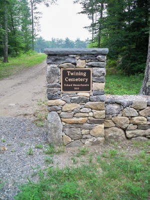
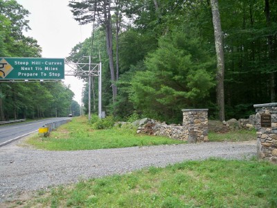
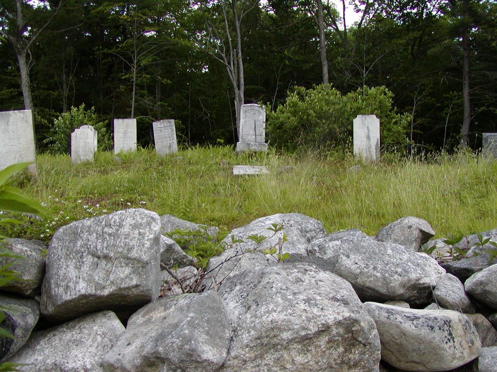
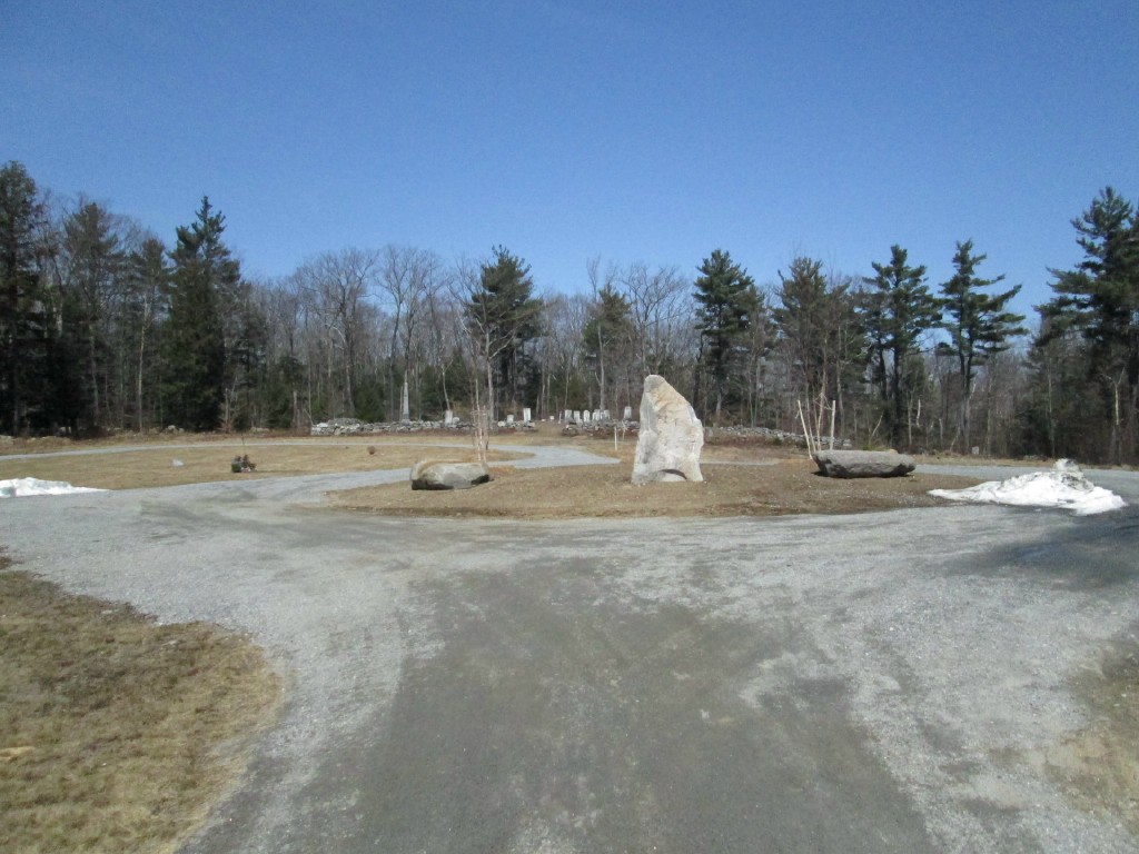
| Description | : | Twining Cemetery is located about 2 miles west of the Tolland Town Hall on Route 57 (West Granville Road) just before the overhead sign warning of Steep Curves leading to New Boston. Turn northward up a 600 foot driveway, a round-a-bout circles the modern section that takes new burials. The older section with about 80-90 burials is in the back on a small hill with a stone wall enclosing it. About 1884, the stone wall was built by Twining ancestors then living, a gate installed and a driveway built. The gate is now gone, but the walls remain giving character to... Read More |
frequently asked questions (FAQ):
-
Where is Twining Cemetery?
Twining Cemetery is located at West Granville Road (Rt 57) Tolland Center, Hampden County ,Massachusetts , 01034USA.
-
Twining Cemetery cemetery's updated grave count on graveviews.com?
8 memorials
-
Where are the coordinates of the Twining Cemetery?
Latitude: 42.0903397
Longitude: -73.0478897
Nearby Cemetories:
1. Burt Hill Cemetery
Tolland Center, Hampden County, USA
Coordinate: 42.0613403, -73.0356369
2. West New Boston Cemetery
Sandisfield, Berkshire County, USA
Coordinate: 42.0968030, -73.0890770
3. Moore Cemetery
Tolland Center, Hampden County, USA
Coordinate: 42.1060200, -73.0088300
4. Spring Hill Cemetery
Tolland Center, Hampden County, USA
Coordinate: 42.0811100, -72.9964900
5. Babcock Family Cemetery
Tolland Center, Hampden County, USA
Coordinate: 42.1138750, -73.0003060
6. Hamilton Cemetery
Tolland Center, Hampden County, USA
Coordinate: 42.0796900, -72.9874600
7. Steadman Cemetery
Tolland Center, Hampden County, USA
Coordinate: 42.0511890, -73.0015190
8. South Quarter Cemetery
Tolland Center, Hampden County, USA
Coordinate: 42.0512560, -72.9954010
9. Gulf Bridge Cemetery
Otis, Berkshire County, USA
Coordinate: 42.1483200, -73.0456100
10. Hubbard Cemetery
Tolland Center, Hampden County, USA
Coordinate: 42.1372500, -72.9990400
11. Roberts Cemetery
Sandisfield, Berkshire County, USA
Coordinate: 42.0489006, -73.1188965
12. Sandisfield Center Cemetery
Sandisfield, Berkshire County, USA
Coordinate: 42.1166992, -73.1361008
13. Dubois Cemetery
Sandisfield, Berkshire County, USA
Coordinate: 42.1176090, -73.1358650
14. Cobb City Cemetery
Colebrook, Litchfield County, USA
Coordinate: 42.0286300, -73.0959100
15. Stannard Road Cemetery
Blandford, Hampden County, USA
Coordinate: 42.1484000, -72.9784100
16. Beech Hill Cemetery
Colebrook, Litchfield County, USA
Coordinate: 42.0165520, -73.0805664
17. East Otis Cemetery
Otis, Berkshire County, USA
Coordinate: 42.1716843, -73.0354233
18. West Granville Cemetery
West Granville, Hampden County, USA
Coordinate: 42.0772540, -72.9382700
19. Baptist Cemetery
Colebrook, Litchfield County, USA
Coordinate: 42.0221977, -73.1155396
20. Hitchcock Cemetery
Colebrook, Litchfield County, USA
Coordinate: 42.0208590, -73.1143280
21. South Sandisfield Cemetery
Sandisfield, Berkshire County, USA
Coordinate: 42.0751400, -73.1618200
22. Beech Plain Cemetery
Sandisfield, Berkshire County, USA
Coordinate: 42.1707993, -73.0958023
23. Norton Cemetery
Otis, Berkshire County, USA
Coordinate: 42.1800156, -73.0505600
24. Smith Plot
Sandisfield, Berkshire County, USA
Coordinate: 42.0984130, -73.1682800