
| Memorials | : | 3 |
| Location | : | Fairview, Brown County, USA |
| Coordinate | : | 39.8119300, -95.7483200 |
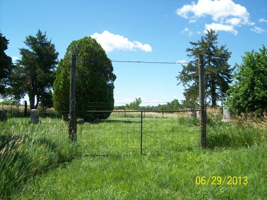
| Description | : | The cemetery is roughly 2 miles south/southwest of Fairview, KS, but because the bridge that crosses the Delaware River on Bobcat Road is reportedly out (Jan 2015), the cemetery must be approached from the south. So from Fairview take highway 75 three miles south to 200th St. Go west a mile, then turn right(north) onto Bittersweet Road and go a mile north. At the T intersection turn right again (east) onto 210th St. and go about a 1/5th of a mile. The cemetery is a short distance into a field. It's a small cemetery with about 20 burials. |
frequently asked questions (FAQ):
-
Where is Tyler Cemetery?
Tyler Cemetery is located at 210th Street & Bobcat Road Fairview, Brown County ,Kansas ,USA.
-
Tyler Cemetery cemetery's updated grave count on graveviews.com?
3 memorials
-
Where are the coordinates of the Tyler Cemetery?
Latitude: 39.8119300
Longitude: -95.7483200
Nearby Cemetories:
1. Fairview City Cemetery
Fairview, Brown County, USA
Coordinate: 39.8464300, -95.7326900
2. Saint Augustine Catholic Cemetery
Capioma Township, Nemaha County, USA
Coordinate: 39.7904282, -95.7897034
3. Comet Cemetery
Powhattan Township, Brown County, USA
Coordinate: 39.7542600, -95.7340400
4. Congregational Cemetery
Fairview, Brown County, USA
Coordinate: 39.8549995, -95.6949997
5. Old Fairview Cemetery
Fairview, Brown County, USA
Coordinate: 39.8550491, -95.6948700
6. Capioma Cemetery
Capioma, Nemaha County, USA
Coordinate: 39.7805099, -95.8205719
7. Immanuel Lutheran Cemetery
Fairview, Brown County, USA
Coordinate: 39.8559700, -95.6858500
8. Pleasant Hill Cemetery
Fairview, Brown County, USA
Coordinate: 39.8411800, -95.6716400
9. Grasshopper Burial Ground
Powhattan Township, Brown County, USA
Coordinate: 39.7578020, -95.6949820
10. Saint Paul Lutheran Cemetery
Fairview, Brown County, USA
Coordinate: 39.8559700, -95.6779700
11. Isely Cemetery
Fairview, Brown County, USA
Coordinate: 39.8844900, -95.7418200
12. Granada Cemetery
Granada, Nemaha County, USA
Coordinate: 39.7324982, -95.7988968
13. Woodlawn Cemetery
Woodlawn, Nemaha County, USA
Coordinate: 39.7905998, -95.8638992
14. Jonach Cemetery
Nemaha County, USA
Coordinate: 39.7925700, -95.8646600
15. Sabetha Cemetery
Sabetha, Nemaha County, USA
Coordinate: 39.9000053, -95.7902985
16. Sun Springs Cemetery
Morrill, Brown County, USA
Coordinate: 39.8993988, -95.6836014
17. Sabetha Apostolic Christian Church Cemetery
Sabetha, Nemaha County, USA
Coordinate: 39.9012100, -95.8087400
18. Powhattan Cemetery
Powhattan, Brown County, USA
Coordinate: 39.7681007, -95.6288986
19. Carson Cemetery
Hamlin, Brown County, USA
Coordinate: 39.8810200, -95.6483100
20. Shelton Cemetery
Hamlin, Brown County, USA
Coordinate: 39.8852997, -95.6393967
21. Niles Cemetery
Hiawatha, Brown County, USA
Coordinate: 39.8730900, -95.6126300
22. Kennekuk Church Cemetery
Horton, Brown County, USA
Coordinate: 39.7074600, -95.6672300
23. Morrill Cemetery
Morrill, Brown County, USA
Coordinate: 39.9351311, -95.6932831
24. Albany Cemetery
Sabetha, Nemaha County, USA
Coordinate: 39.9427986, -95.8007965