
| Memorials | : | 0 |
| Location | : | South Boston, Suffolk County, USA |
| Coordinate | : | 42.3340440, -71.0344730 |
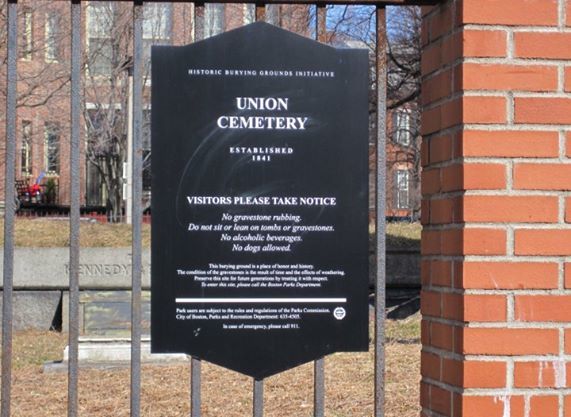
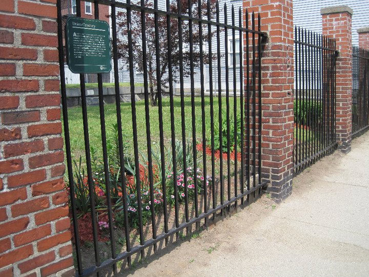
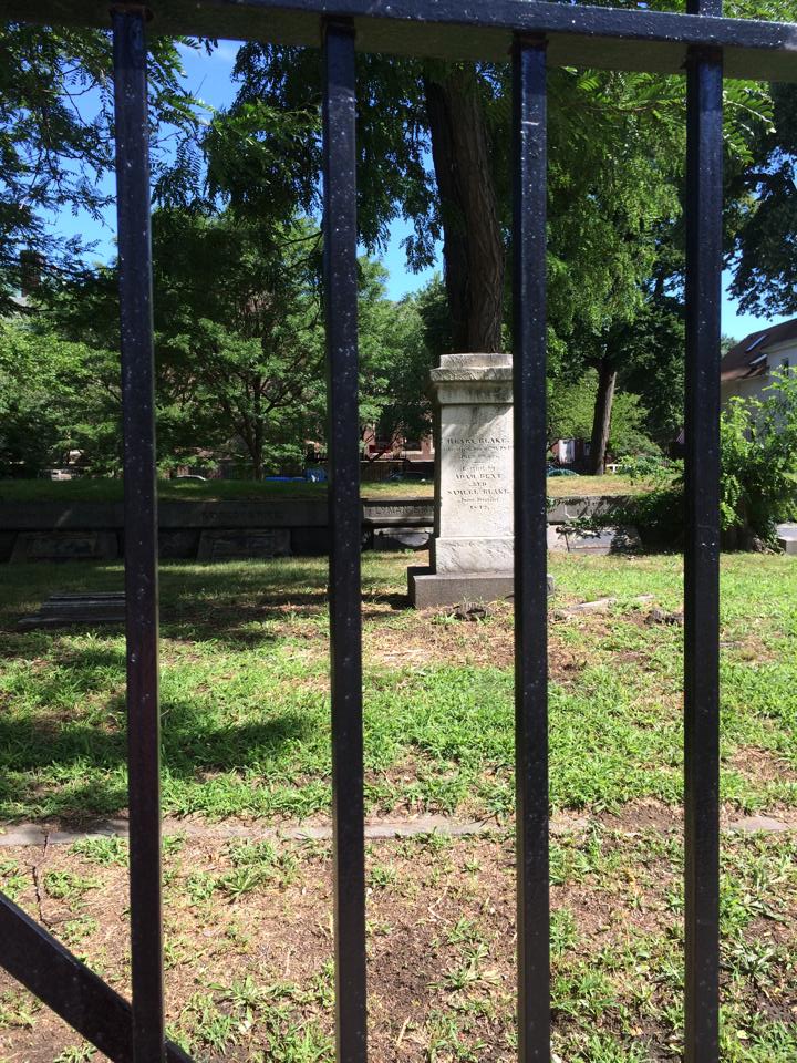
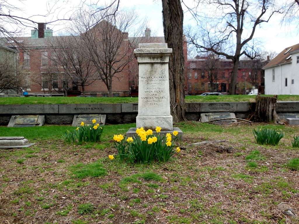
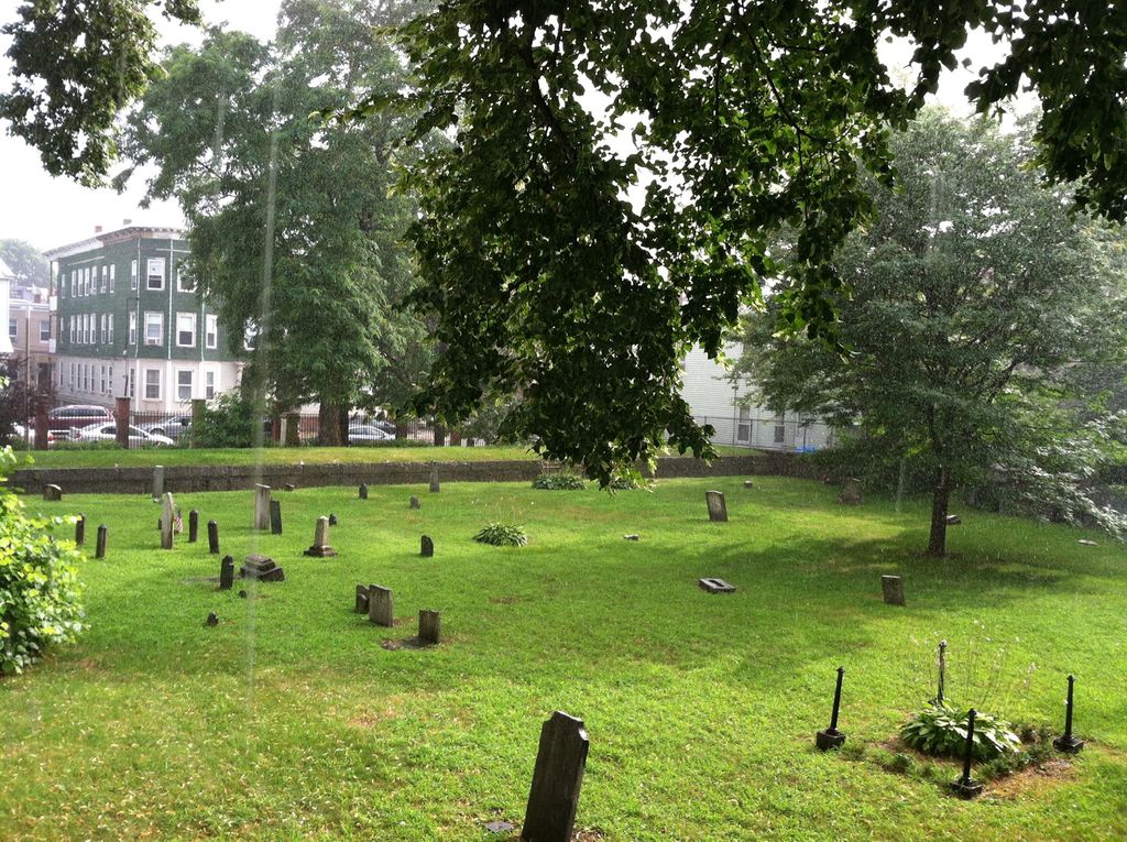
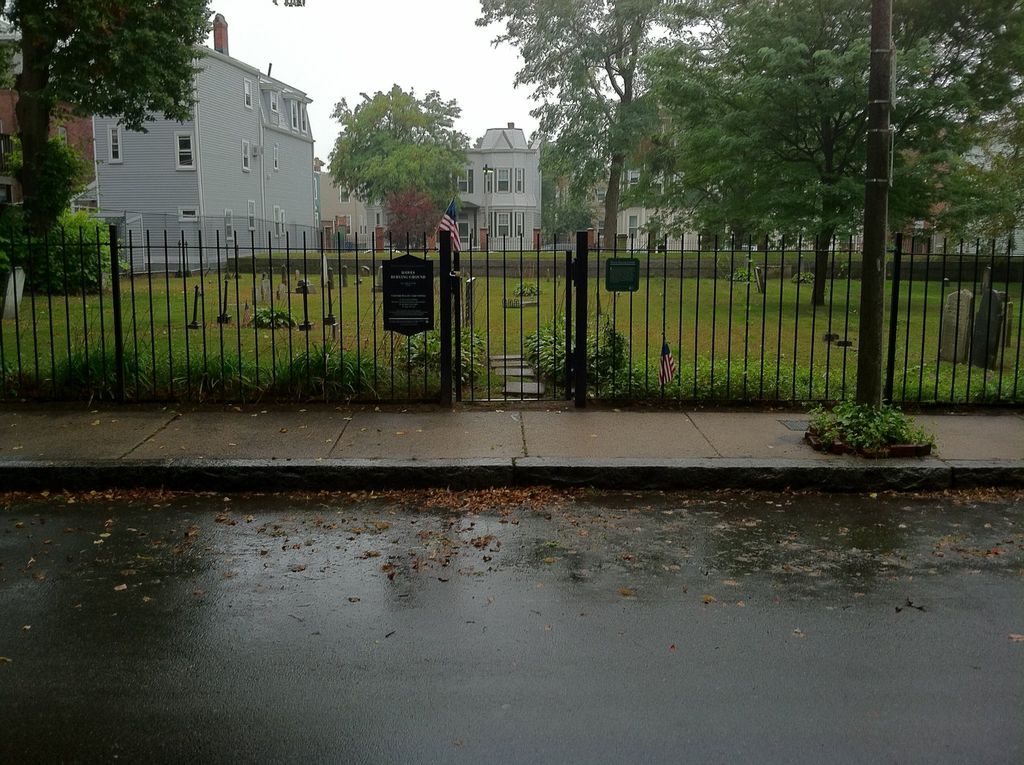
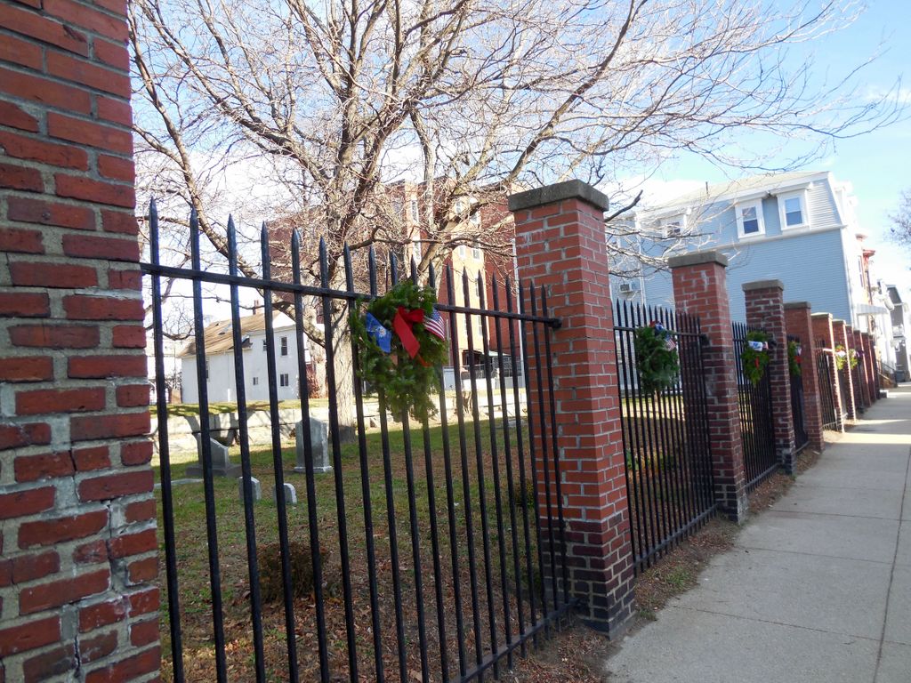
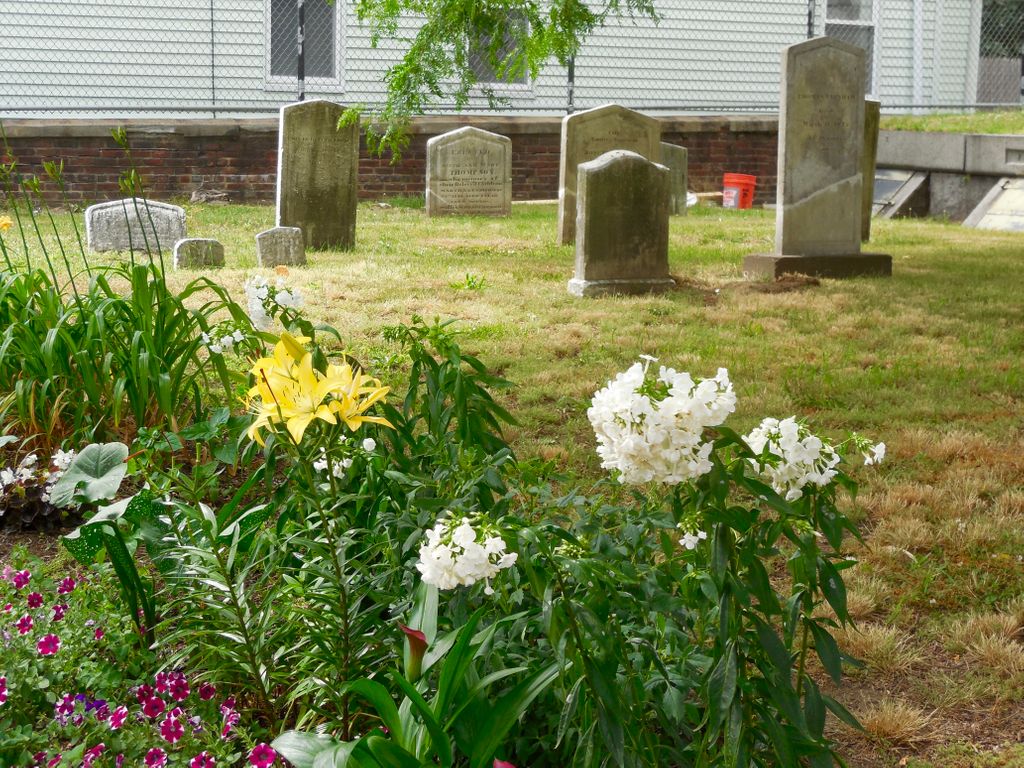
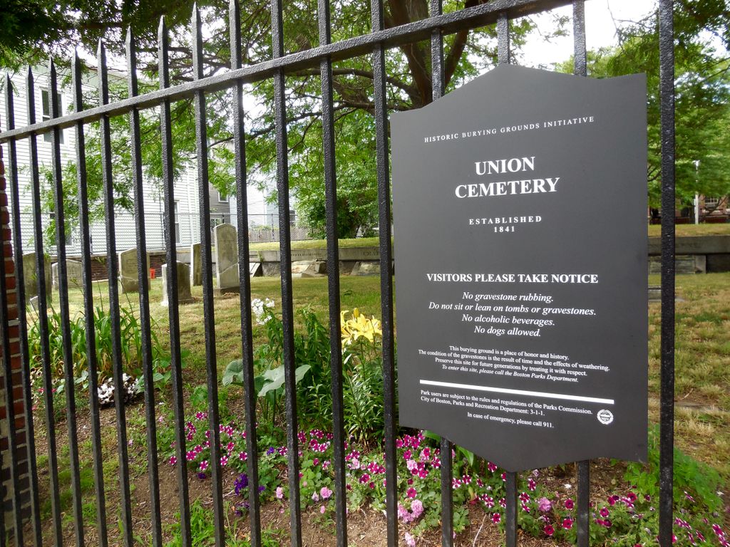
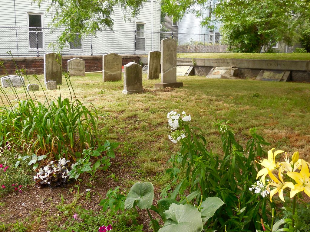
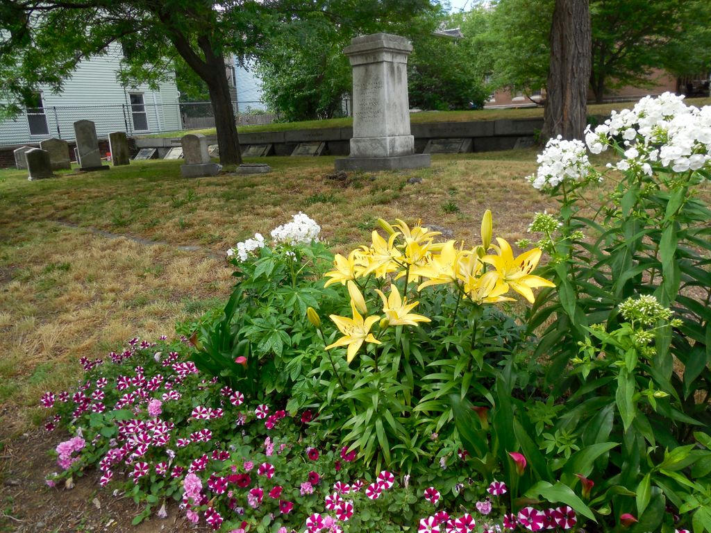
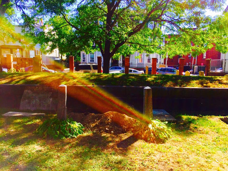
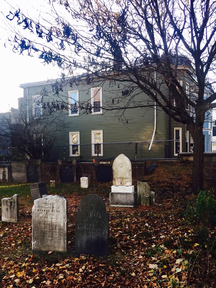
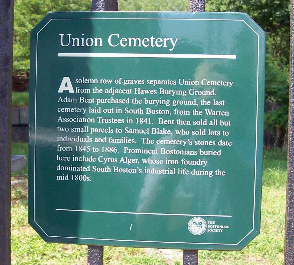
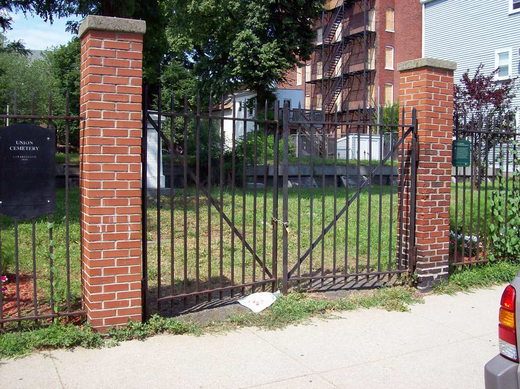
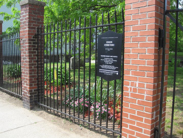
| Description | : | A solemn row of graves separates Union Cemetery from the adjacent Hawes Burying Ground. The last cemetery laid out in South Boston, Adam Bent purchased the burying ground from the Warren Association Trustees in 1841. Bent then sold all but two small parcels to Samuel Blake who sold lots to individuals and families. The cemetery's stones date from 1845-1886. Prominent Bostonians buried here include Cyrus Alger, whose iron foundry dominated South Boston's industrial life during the mid 1800s. |
frequently asked questions (FAQ):
-
Where is Union Cemetery?
Union Cemetery is located at East 5th Street South Boston, Suffolk County ,Massachusetts , 02127USA.
-
Union Cemetery cemetery's updated grave count on graveviews.com?
0 memorials
-
Where are the coordinates of the Union Cemetery?
Latitude: 42.3340440
Longitude: -71.0344730

Nearby Cemetories:
1. Hawes Burying Ground
South Boston, Suffolk County, USA
Coordinate: 42.3340607, -71.0345078
2. South Boston Farm Cemetery (Defunct)
South Boston, Suffolk County, USA
Coordinate: 42.3388510, -71.0326710
3. Saint Augustine Cemetery
South Boston, Suffolk County, USA
Coordinate: 42.3339900, -71.0491800
4. Saint Matthews Cemetery (Defunct)
South Boston, Suffolk County, USA
Coordinate: 42.3379940, -71.0497180
5. South Boston Korean War Memorial
South Boston, Suffolk County, USA
Coordinate: 42.3367590, -71.0096260
6. Cathedral of the Holy Cross Crypt
Boston, Suffolk County, USA
Coordinate: 42.3408200, -71.0697400
7. Trinity Church Tombs (Defunct)
Boston, Suffolk County, USA
Coordinate: 42.3549300, -71.0597500
8. Dorchester North Burying Ground
Dorchester, Suffolk County, USA
Coordinate: 42.3170013, -71.0645828
9. Thompson Island Cemetery
Boston, Suffolk County, USA
Coordinate: 42.3099600, -71.0120100
10. Cocoanut Grove Fire Memorial
Boston, Suffolk County, USA
Coordinate: 42.3499600, -71.0681900
11. South Burying Ground
Boston, Suffolk County, USA
Coordinate: 42.3382600, -71.0741000
12. Central Burying Ground
Boston, Suffolk County, USA
Coordinate: 42.3526300, -71.0659500
13. Granary Burying Ground
Boston, Suffolk County, USA
Coordinate: 42.3572400, -71.0613500
14. Kings Chapel Burying Ground
Boston, Suffolk County, USA
Coordinate: 42.3583340, -71.0600370
15. Eliot Burying Ground
Roxbury, Suffolk County, USA
Coordinate: 42.3318890, -71.0811970
16. Christ Church Cemetery
Boston, Suffolk County, USA
Coordinate: 42.3664900, -71.0545200
17. Old South Church
Boston, Suffolk County, USA
Coordinate: 42.3500500, -71.0779000
18. Warren Cemetery (Defunct)
Boston, Suffolk County, USA
Coordinate: 42.3269700, -71.0825500
19. Copp's Hill Burying Ground
Boston, Suffolk County, USA
Coordinate: 42.3670100, -71.0560800
20. Charlestown Revolutionary War Memorial
Charlestown, Suffolk County, USA
Coordinate: 42.3745800, -71.0601800
21. Saint Margaret's Convent Columbarium
Roxbury, Suffolk County, USA
Coordinate: 42.3260000, -71.0940700
22. Bunker Hill Monument
Charlestown, Suffolk County, USA
Coordinate: 42.3762360, -71.0607300
23. Bennington Street Cemetery
East Boston, Suffolk County, USA
Coordinate: 42.3814300, -71.0213000
24. Phipps Street Burying Ground
Charlestown, Suffolk County, USA
Coordinate: 42.3766300, -71.0673000